One Bear Point Rd Meredith, NH 03253
Estimated Value: $704,145 - $1,198,000
4
Beds
3
Baths
2,275
Sq Ft
$440/Sq Ft
Est. Value
About This Home
This home is located at One Bear Point Rd, Meredith, NH 03253 and is currently estimated at $1,002,036, approximately $440 per square foot. One Bear Point Rd is a home located in Belknap County with nearby schools including Inter-Lakes Elementary School, Sandwich Central School, and Inter-Lakes Middle High School.
Ownership History
Date
Name
Owned For
Owner Type
Purchase Details
Closed on
Aug 20, 2015
Sold by
Simard Ralphe J and Simard Jennifer M
Bought by
Coe Drive Realty Co Ll
Current Estimated Value
Purchase Details
Closed on
Oct 15, 2004
Sold by
Bouchard Daniel C and Bouchard Christine E
Bought by
Simard Ralph J and Simard Jennifer M
Create a Home Valuation Report for This Property
The Home Valuation Report is an in-depth analysis detailing your home's value as well as a comparison with similar homes in the area
Home Values in the Area
Average Home Value in this Area
Purchase History
| Date | Buyer | Sale Price | Title Company |
|---|---|---|---|
| Coe Drive Realty Co Ll | $350,000 | -- | |
| Simard Ralph J | $63,500 | -- |
Source: Public Records
Tax History
| Year | Tax Paid | Tax Assessment Tax Assessment Total Assessment is a certain percentage of the fair market value that is determined by local assessors to be the total taxable value of land and additions on the property. | Land | Improvement |
|---|---|---|---|---|
| 2024 | $6,041 | $588,800 | $197,100 | $391,700 |
| 2023 | $5,823 | $588,800 | $197,100 | $391,700 |
| 2022 | $5,373 | $384,600 | $92,500 | $292,100 |
| 2021 | $5,165 | $384,600 | $92,500 | $292,100 |
| 2020 | $5,392 | $384,600 | $92,500 | $292,100 |
| 2019 | $5,401 | $339,900 | $74,700 | $265,200 |
| 2018 | $5,309 | $339,900 | $74,700 | $265,200 |
| 2016 | $4,258 | $273,100 | $78,300 | $194,800 |
| 2015 | $4,151 | $273,100 | $78,300 | $194,800 |
| 2014 | $4,050 | $273,100 | $78,300 | $194,800 |
| 2013 | $3,388 | $235,100 | $78,300 | $156,800 |
Source: Public Records
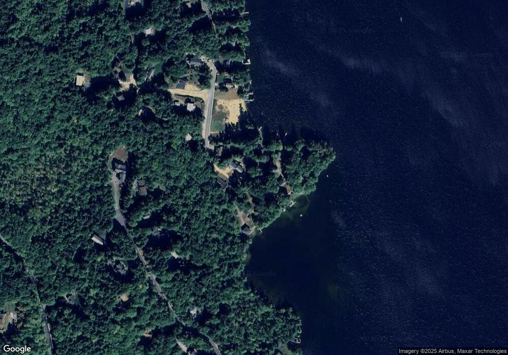
Map
Nearby Homes
- 00 Chemung Rd Unit 31
- 1 Sanctuary Ln
- 6 Loon Point Rd
- 129 Black Brook Rd
- 65 Tucker Mountain Rd
- 11 Chemung Rd
- 490 Meredith Center Rd
- 126 Meredith Center Rd
- 391 Turner Way
- 302 Black Brook Rd
- 201 Parade Rd
- 207 Pease Rd
- 358 Roller Coaster Rd
- 00 Pease Rd Unit 3A
- 447 Nh Route 104
- 2 Clover Ln
- 1 Clover Ln Unit 1
- 18 Hickorywood Cir
- 70 Hatch Corner Rd
- 9 Fells Way Unit A
- 1 Bear Point Rd
- 6 Bear Point Rd
- 80 Weed Rd
- 9 Bear Point Rd
- 10 Bear Point Rd
- 8 Bear Point Rd
- 11 Bear Point Rd
- 5 Bear Point Rd
- 12 Bear Point Rd
- 0 Swain Rd
- 0 Swain Rd Unit 4169251
- 0 Swain Rd Unit 4169253
- 0 Swain Rd Unit 54 4927781
- 0 Swain Rd Unit 72979106
- 0 Swain Rd Unit 54 4908202
- 0 Swain Rd Unit R27 lot 3/4 4752727
- 0 Swain Rd Unit 4699696
- 15 Bear Point Rd
- 75 Weed Rd
- 14 Bear Point Rd
Your Personal Tour Guide
Ask me questions while you tour the home.