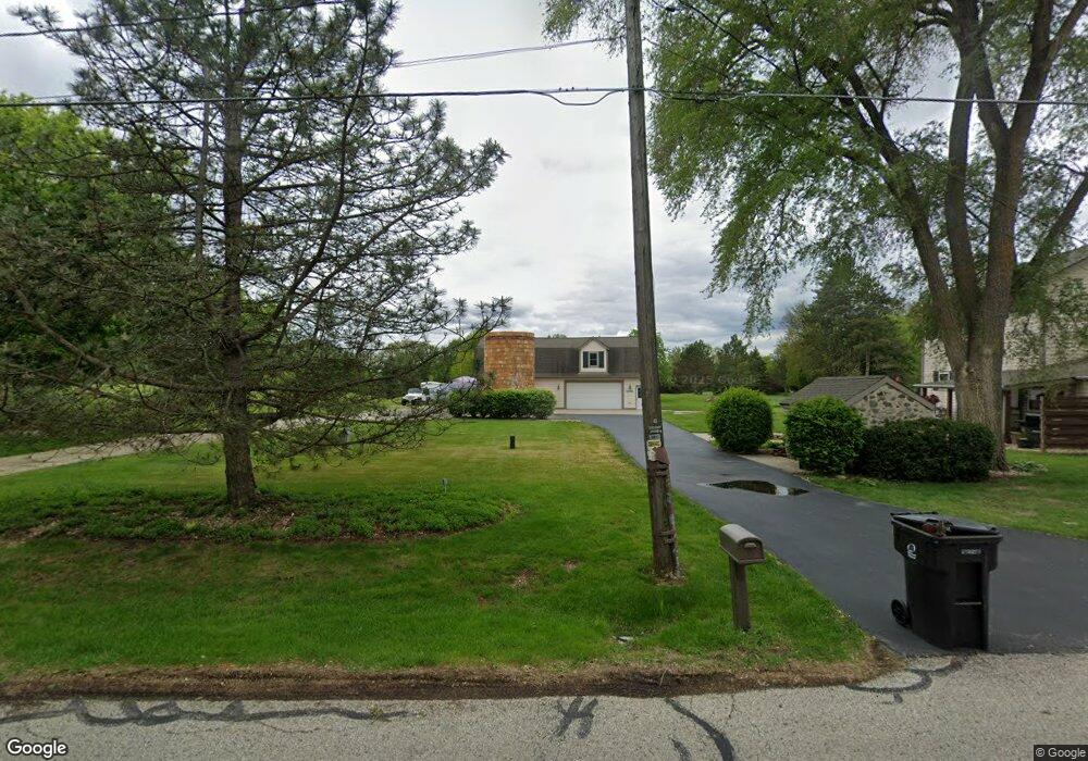
S73W25995 Hi lo Dr Waukesha, WI 53189
Estimated Value: $464,000 - $492,000
--
Bed
--
Bath
--
Sq Ft
1.39
Acres
About This Home
This home is located at S73W25995 Hi lo Dr, Waukesha, WI 53189 and is currently estimated at $476,792. S73W25995 Hi lo Dr is a home located in Waukesha County with nearby schools including Clarendon Avenue Elementary School, Park View Middle School, and Mukwonago High School.
Ownership History
Date
Name
Owned For
Owner Type
Purchase Details
Closed on
Jan 31, 2020
Sold by
Kramer Melody M
Bought by
Armstrong Melvin J and Dell Deanne
Current Estimated Value
Purchase Details
Closed on
May 22, 2008
Sold by
Hoppe James M and Mcgray Lisa A
Bought by
Kramer Melody M
Purchase Details
Closed on
Dec 23, 2004
Sold by
Hoppe James L and Hoppe Margaret R
Bought by
Hoppe James M and Mcgray Lisa A
Home Financials for this Owner
Home Financials are based on the most recent Mortgage that was taken out on this home.
Original Mortgage
$188,000
Interest Rate
5.83%
Mortgage Type
Purchase Money Mortgage
Create a Home Valuation Report for This Property
The Home Valuation Report is an in-depth analysis detailing your home's value as well as a comparison with similar homes in the area
Home Values in the Area
Average Home Value in this Area
Purchase History
| Date | Buyer | Sale Price | Title Company |
|---|---|---|---|
| Armstrong Melvin J | $288,000 | None Available | |
| Kramer Melody M | $280,000 | None Available | |
| Hoppe James M | $177,000 | -- |
Source: Public Records
Mortgage History
| Date | Status | Borrower | Loan Amount |
|---|---|---|---|
| Previous Owner | Hoppe James M | $188,000 |
Source: Public Records
Tax History Compared to Growth
Tax History
| Year | Tax Paid | Tax Assessment Tax Assessment Total Assessment is a certain percentage of the fair market value that is determined by local assessors to be the total taxable value of land and additions on the property. | Land | Improvement |
|---|---|---|---|---|
| 2024 | $2,734 | $337,900 | $124,200 | $213,700 |
| 2023 | $2,643 | $337,900 | $124,200 | $213,700 |
| 2022 | $2,772 | $252,700 | $80,900 | $171,800 |
| 2021 | $2,730 | $252,700 | $80,900 | $171,800 |
| 2020 | $2,733 | $247,700 | $80,900 | $166,800 |
| 2019 | $2,552 | $207,800 | $67,500 | $140,300 |
| 2018 | $2,572 | $207,800 | $67,500 | $140,300 |
| 2017 | $2,905 | $207,800 | $67,500 | $140,300 |
| 2016 | $2,546 | $207,800 | $67,500 | $140,300 |
| 2015 | $2,506 | $207,800 | $67,500 | $140,300 |
| 2014 | $2,647 | $0 | $0 | $0 |
| 2013 | $2,647 | $208,800 | $68,000 | $140,800 |
Source: Public Records
Map
Nearby Homes
- S76W25745 Prairieside Dr
- W264S7415 Mount Whitney Ave
- Lt0 Oakdale Dr
- S81W26300 National Ave
- W254S6500 Mcgregor Ct
- W247S6795 Sugar Maple Dr
- W255S8545 Hi lo Dr
- W249S6145 Deerfield Cir
- W249S6130 Deerfield Cir
- W237S6815 Fernwood Dr
- S80W23790 Parkview Dr
- S54W25403 Pebble Brook Ct
- S54W25423 Pebble Brook Ct
- W279S8820 Lookout Ln
- LtD46 White Deer Trail
- S71W23350 National Ave
- W277S9025 Hidden Lakes Ct
- 1725 Cardinal Ct
- The Wingra Plan at Cardinal Ridge
- The Windsor Plan at Cardinal Ridge
- S73W25955 Hi lo Dr
- S73W25940 Hi lo Dr
- W260S7450 Oakdale Dr
- W260S7350 Vista Del Tierra
- W260S7370 Vista Del Tierra
- W260S7330 Vista Del Tierra
- W259S7340 Oakdale Dr
- W261S7390 Vista Del Tierra
- W260S7310 Vista Del Tierra
- W260S7345 Vista Del Tierra
- W261S7410 Vista Del Tierra
- W259S7320 Oakdale Dr
- S74W25880 Hi lo Dr
- W261S7365 Vista Del Tierra
- W261S7470 Oakdale Dr
- W260S7315 Vista Del Tierra
- W261S7375 Vista Del Tierra
- W260S7290 Vista Del Tierra
- W261S7430 Vista Del Tierra
- W261S7385 Vista Del Tierra