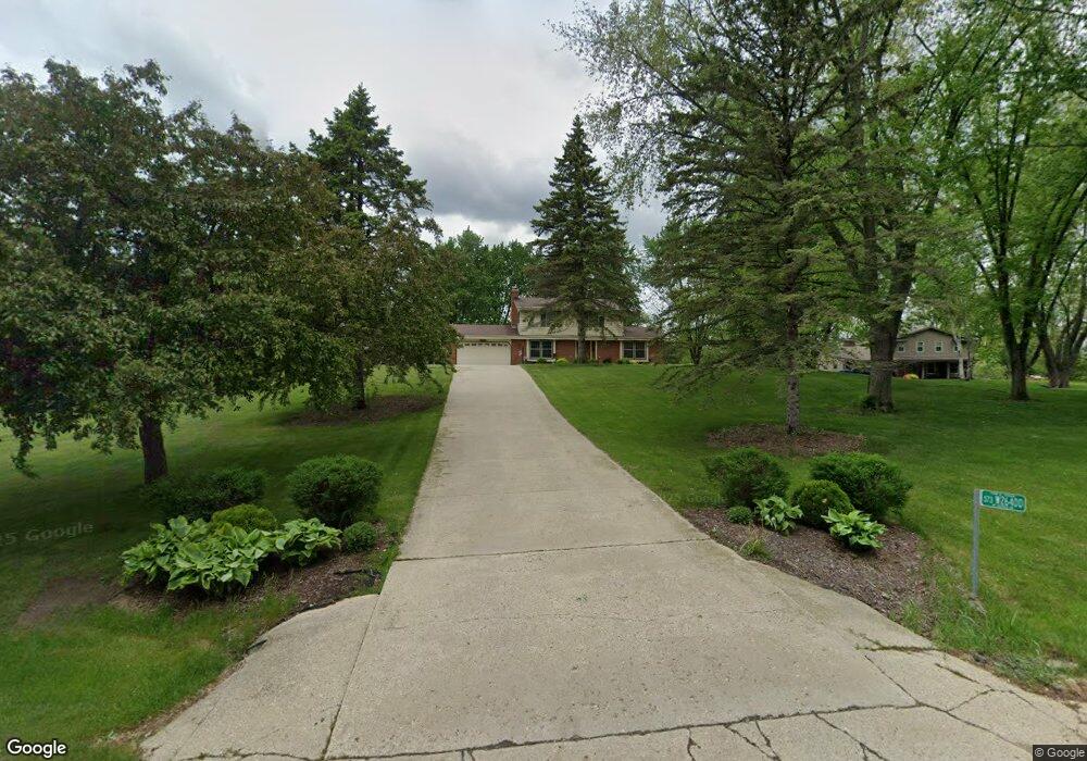
S73W26400 Mt Rainier Dr Waukesha, WI 53189
Estimated Value: $441,000 - $516,000
--
Bed
--
Bath
--
Sq Ft
1.07
Acres
About This Home
This home is located at S73W26400 Mt Rainier Dr, Waukesha, WI 53189 and is currently estimated at $482,778. S73W26400 Mt Rainier Dr is a home located in Waukesha County with nearby schools including Clarendon Avenue Elementary School, Park View Middle School, and Mukwonago High School.
Ownership History
Date
Name
Owned For
Owner Type
Purchase Details
Closed on
Oct 10, 2014
Sold by
Moldenhauer Daniel G and Moldenhauer Jane L
Bought by
Manka Scott M and Manka Jennifer L
Current Estimated Value
Home Financials for this Owner
Home Financials are based on the most recent Mortgage that was taken out on this home.
Original Mortgage
$237,500
Outstanding Balance
$182,279
Interest Rate
4.13%
Mortgage Type
Stand Alone First
Estimated Equity
$300,499
Create a Home Valuation Report for This Property
The Home Valuation Report is an in-depth analysis detailing your home's value as well as a comparison with similar homes in the area
Home Values in the Area
Average Home Value in this Area
Purchase History
| Date | Buyer | Sale Price | Title Company |
|---|---|---|---|
| Manka Scott M | $250,000 | -- |
Source: Public Records
Mortgage History
| Date | Status | Borrower | Loan Amount |
|---|---|---|---|
| Open | Manka Scott M | $237,500 |
Source: Public Records
Tax History Compared to Growth
Tax History
| Year | Tax Paid | Tax Assessment Tax Assessment Total Assessment is a certain percentage of the fair market value that is determined by local assessors to be the total taxable value of land and additions on the property. | Land | Improvement |
|---|---|---|---|---|
| 2024 | $3,404 | $420,000 | $120,900 | $299,100 |
| 2023 | $3,302 | $420,000 | $120,900 | $299,100 |
| 2022 | $3,288 | $299,000 | $74,000 | $225,000 |
| 2021 | $3,244 | $299,000 | $74,000 | $225,000 |
| 2020 | $3,302 | $299,000 | $74,000 | $225,000 |
| 2019 | $3,076 | $249,900 | $64,400 | $185,500 |
| 2018 | $3,097 | $249,900 | $64,400 | $185,500 |
| 2017 | $3,074 | $249,900 | $64,400 | $185,500 |
| 2016 | $3,065 | $249,900 | $64,400 | $185,500 |
| 2015 | $3,011 | $249,900 | $64,400 | $185,500 |
| 2014 | $3,077 | $0 | $0 | $0 |
| 2013 | $3,077 | $240,700 | $65,000 | $175,700 |
Source: Public Records
Map
Nearby Homes
- W264S7415 Mount Whitney Ave
- S76W25745 Prairieside Dr
- S81W26300 National Ave
- Lt0 Oakdale Dr
- W254S6500 Mcgregor Ct
- W255S8545 Hi lo Dr
- W247S6795 Sugar Maple Dr
- W249S6145 Deerfield Cir
- W249S6130 Deerfield Cir
- W279S8820 Lookout Ln
- LtD46 White Deer Trail
- W277S9025 Hidden Lakes Ct
- S54W25403 Pebble Brook Ct
- S54W25423 Pebble Brook Ct
- 1725 Cardinal Ct
- The Wingra Plan at Cardinal Ridge
- The Windsor Plan at Cardinal Ridge
- The Siena Plan at Cardinal Ridge
- The Sheridan Plan at Cardinal Ridge
- The Saybrook Plan at Cardinal Ridge
- S73W26430 Mt Rainier Dr
- S73W26370 Mt Rainier Dr
- W264S7300 Kings Peak Ct
- S73W26415 Mt Rainier Dr
- S73W26340 Mt Rainier Dr
- S73W26480 Mount Rainier Dr Unit S73W26480
- S73W26480 Mt Rainier Dr
- W264S7290 Kings Peak Ct
- S73W26355 Mt Rainier Dr
- W264S7410 Mount Whitney Ave
- S73W26385 Mt Rainier Dr
- W263S7315 Green Mountain Dr
- 7290 Kings Peak Ct
- S72W26435 Kings Peak Ave
- W263S7360 Green Mountain Dr
- W264S7265 Kings Peak Ct
- S73W26285 Sierra Madre Ct
- W264S7440 Mount Whitney Ave
- S72W26385 Kings Peak Ave
- W263S7275 Green Mountain Dr