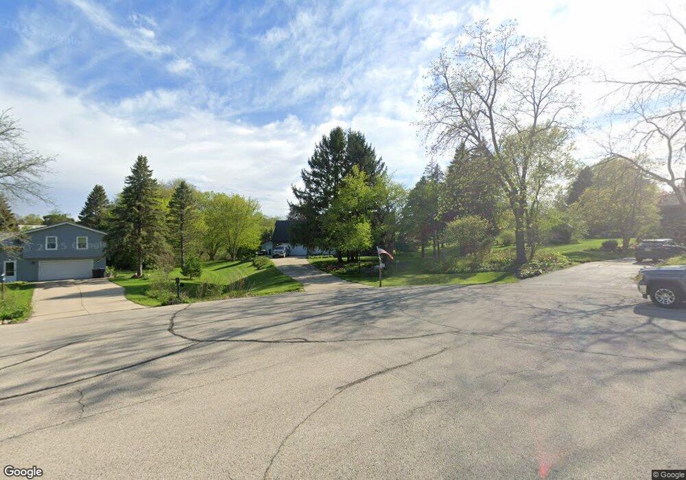
S74W24605 Windsor Ct Waukesha, WI 53189
Estimated Value: $473,000 - $644,000
--
Bed
--
Bath
--
Sq Ft
0.78
Acres
About This Home
This home is located at S74W24605 Windsor Ct, Waukesha, WI 53189 and is currently estimated at $560,089. S74W24605 Windsor Ct is a home located in Waukesha County with nearby schools including Big Bend Elementary School, Park View Middle School, and Mukwonago High School.
Ownership History
Date
Name
Owned For
Owner Type
Purchase Details
Closed on
Aug 24, 2018
Sold by
Davis James H and Davis Dorothy Jo
Bought by
Zalim Taylor and Memmel Marissa
Current Estimated Value
Home Financials for this Owner
Home Financials are based on the most recent Mortgage that was taken out on this home.
Original Mortgage
$294,400
Outstanding Balance
$255,674
Interest Rate
4.5%
Mortgage Type
New Conventional
Estimated Equity
$304,415
Create a Home Valuation Report for This Property
The Home Valuation Report is an in-depth analysis detailing your home's value as well as a comparison with similar homes in the area
Home Values in the Area
Average Home Value in this Area
Purchase History
| Date | Buyer | Sale Price | Title Company |
|---|---|---|---|
| Zalim Taylor | $368,000 | None Available |
Source: Public Records
Mortgage History
| Date | Status | Borrower | Loan Amount |
|---|---|---|---|
| Open | Zalim Taylor | $294,400 |
Source: Public Records
Tax History Compared to Growth
Tax History
| Year | Tax Paid | Tax Assessment Tax Assessment Total Assessment is a certain percentage of the fair market value that is determined by local assessors to be the total taxable value of land and additions on the property. | Land | Improvement |
|---|---|---|---|---|
| 2024 | $4,293 | $529,000 | $113,000 | $416,000 |
| 2023 | $4,177 | $529,000 | $113,000 | $416,000 |
| 2022 | $4,238 | $384,100 | $73,600 | $310,500 |
| 2021 | $4,188 | $384,100 | $73,600 | $310,500 |
| 2020 | $4,246 | $384,100 | $73,600 | $310,500 |
| 2019 | $3,421 | $277,600 | $64,000 | $213,600 |
| 2018 | $3,443 | $277,600 | $64,000 | $213,600 |
| 2017 | $3,881 | $277,600 | $64,000 | $213,600 |
| 2016 | $3,407 | $277,600 | $64,000 | $213,600 |
| 2015 | $3,344 | $277,600 | $64,000 | $213,600 |
| 2014 | $3,596 | $0 | $0 | $0 |
| 2013 | $3,596 | $279,200 | $65,000 | $214,200 |
Source: Public Records
Map
Nearby Homes
- W243S7330 Greenbriar Dr
- W237S6815 Fernwood Dr
- Lt0 Oakdale Dr
- W232S8430 Rosemary Dr
- S81W26300 National Ave
- W225S6835 Guthrie Rd
- W230S8775 Clark St
- S72W22075 Patrick Dr
- Lt2 Marianne Ave
- Pcl0 Clark St
- Lt2 Wisconsin 164
- S54W25403 Pebble Brook Ct
- S64W22000 National Ave
- Lt11 Leo Ln
- Lt12 Leo Ln
- S95W23000 River Oaks Dr
- Lt7 Leo Ln
- Lt8 Leo Ln
- Lt9 Leo Ln
- Lt10 Leo Ln
- S74W24595 Windsor Ct
- S74W24610 Windsor Ct
- S74W24575 Windsor Ct
- W246S7420 Scotland Dr
- W246S7440 Scotland Dr
- S74W24600 Windsor Ct
- W246S7470 Scotland Dr
- W245S7405 Heather Ridge Dr
- W246S7400 Scotland Dr
- S74W24555 Windsor Ct
- W246S7490 Scotland Dr
- W245S7385 Heather Ridge Dr
- W246S7380 Scotland Dr
- W247S7445 Scotland Dr
- W247S7425 Scotland Dr
- W247S7465 Scotland Dr
- W245S7365 Heather Ridge Dr
- W247S7485 Scotland Dr
- W245S7420 Heather Ridge Dr
- W246S7360 Scotland Dr