S866 Rte 47 Elburn, IL 60119
Estimated Value: $457,217 - $581,000
--
Bed
--
Bath
--
Sq Ft
2.87
Acres
About This Home
This home is located at S866 Rte 47, Elburn, IL 60119 and is currently estimated at $525,072. S866 Rte 47 is a home with nearby schools including Kaneland Blackberry Creek Elementary School, Harter Middle School, and Kaneland Senior High School.
Ownership History
Date
Name
Owned For
Owner Type
Purchase Details
Closed on
Jan 3, 1997
Sold by
Hughes Ronald C and Hughes Robert Carl
Bought by
Richtman Thomas A and Richtman Karen J
Current Estimated Value
Home Financials for this Owner
Home Financials are based on the most recent Mortgage that was taken out on this home.
Original Mortgage
$141,500
Outstanding Balance
$15,075
Interest Rate
7.54%
Estimated Equity
$509,997
Purchase Details
Closed on
Dec 31, 1996
Sold by
Kane County Bank & Trust Company
Bought by
Hughes Ronald C and Hughes Robert Carl
Home Financials for this Owner
Home Financials are based on the most recent Mortgage that was taken out on this home.
Original Mortgage
$141,500
Outstanding Balance
$15,075
Interest Rate
7.54%
Estimated Equity
$509,997
Create a Home Valuation Report for This Property
The Home Valuation Report is an in-depth analysis detailing your home's value as well as a comparison with similar homes in the area
Home Values in the Area
Average Home Value in this Area
Purchase History
| Date | Buyer | Sale Price | Title Company |
|---|---|---|---|
| Richtman Thomas A | $201,500 | Chicago Title Insurance Co | |
| Hughes Ronald C | -- | Chicago Title Insurance Co |
Source: Public Records
Mortgage History
| Date | Status | Borrower | Loan Amount |
|---|---|---|---|
| Open | Richtman Thomas A | $141,500 |
Source: Public Records
Tax History Compared to Growth
Tax History
| Year | Tax Paid | Tax Assessment Tax Assessment Total Assessment is a certain percentage of the fair market value that is determined by local assessors to be the total taxable value of land and additions on the property. | Land | Improvement |
|---|---|---|---|---|
| 2024 | $9,028 | $120,536 | $9,362 | $111,174 |
| 2023 | $8,729 | $109,103 | $8,426 | $100,677 |
| 2022 | $7,652 | $91,883 | $7,703 | $84,180 |
| 2021 | $7,417 | $88,108 | $7,327 | $80,781 |
| 2020 | $6,102 | $86,108 | $7,105 | $79,003 |
| 2019 | $6,114 | $84,869 | $6,954 | $77,915 |
| 2018 | $5,177 | $73,620 | $6,906 | $66,714 |
| 2017 | $5,184 | $72,806 | $6,786 | $66,020 |
| 2016 | $6,218 | $62,897 | $18,242 | $44,655 |
| 2015 | -- | $65,360 | $17,498 | $47,862 |
| 2014 | -- | $77,135 | $22,676 | $54,459 |
| 2013 | -- | $77,131 | $22,672 | $54,459 |
Source: Public Records
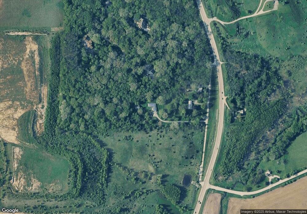
Map
Nearby Homes
- Lot #7 Derek Dr
- 16 Derek Dr
- 12 Derek Dr
- 6 Derek Dr
- 5 Derek Dr
- 4 Derek Dr
- 11 Derek Dr
- 43W556 Kenmar Ct
- LOT 7 Rowe Rd
- 44W700 Rowe Rd
- Lot 9 Rowe Rd
- 42W773 Clover Hill Ln
- 00 Rt 38 Rd
- 1473 Anderson Rd
- 1382 Independence Ave
- 1192 Beed Ave
- 43W714 Willow Creek Ct Unit 4
- 1121 Lance Ave
- 1622 Fairfield Dr
- 1430 Souders Ave
- s 800 Il Route 47
- S800 Illinois 47
- S836 Rte 47
- 0S687 Autumn Woods Ln
- S775 Illinois 47
- 0S775 Il Route 47
- 1s Il Route 47
- 0 Autumn Woods Ln Unit 9085919
- 1S100 Illinois 47
- 0S608 Autumn Woods Ln
- 0S590 Il Route 47
- S570 Illinois 47
- S571 Rt 47
- 0S675 Il Route 47
- 1S140 Il Route 47
- S565 Rt 47
- 43W340 Smith Rd
- S675 Illinois 47
- 43W320 Smith Rd
- 43W511 Timbercrest Dr