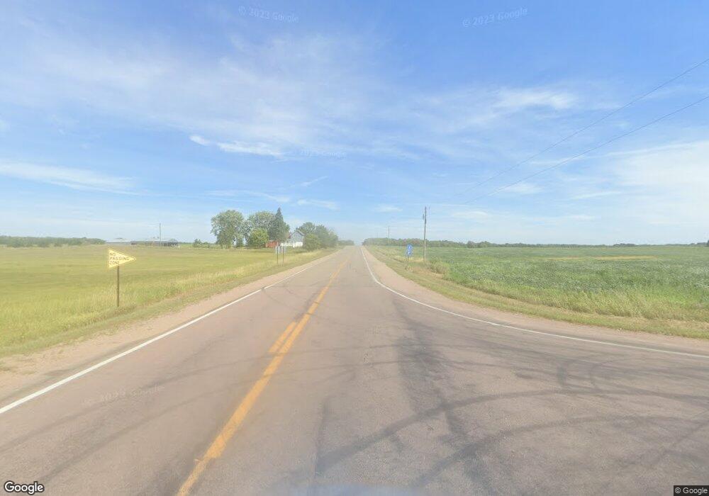
. State Hwy 28 Birchdale Township, MN 56378
Estimated Value: $447,000
--
Bed
--
Bath
2,376
Sq Ft
$188/Sq Ft
Est. Value
About This Home
This home is located at . State Hwy 28, Birchdale Township, MN 56378 and is currently estimated at $447,000, approximately $188 per square foot. . State Hwy 28 is a home located in Todd County with nearby schools including Sauk Centre Elementary School and Sauk Centre Secondary School.
Ownership History
Date
Name
Owned For
Owner Type
Purchase Details
Closed on
Nov 27, 2018
Sold by
Moritz Michael and Moritz Sandra
Bought by
Anderson Robert L and Anderson Lindsey R
Current Estimated Value
Home Financials for this Owner
Home Financials are based on the most recent Mortgage that was taken out on this home.
Original Mortgage
$151,200
Outstanding Balance
$135,622
Interest Rate
5.75%
Mortgage Type
New Conventional
Estimated Equity
$311,378
Create a Home Valuation Report for This Property
The Home Valuation Report is an in-depth analysis detailing your home's value as well as a comparison with similar homes in the area
Home Values in the Area
Average Home Value in this Area
Purchase History
| Date | Buyer | Sale Price | Title Company |
|---|---|---|---|
| Anderson Robert L | $189,000 | Main Street Title |
Source: Public Records
Mortgage History
| Date | Status | Borrower | Loan Amount |
|---|---|---|---|
| Open | Anderson Robert L | $151,200 |
Source: Public Records
Tax History Compared to Growth
Tax History
| Year | Tax Paid | Tax Assessment Tax Assessment Total Assessment is a certain percentage of the fair market value that is determined by local assessors to be the total taxable value of land and additions on the property. | Land | Improvement |
|---|---|---|---|---|
| 2025 | $4,700 | $921,300 | $240,200 | $681,100 |
| 2024 | $3,906 | $486,600 | $241,600 | $245,000 |
| 2023 | $3,884 | $422,800 | $241,600 | $181,200 |
| 2022 | $2,750 | $376,300 | $200,100 | $176,200 |
| 2021 | $1,306 | $262,000 | $178,900 | $83,100 |
| 2020 | $1,400 | $156,100 | $156,100 | $0 |
| 2019 | $1,212 | $156,100 | $156,100 | $0 |
| 2018 | $1,218 | $121,800 | $121,800 | $0 |
| 2017 | $1,302 | $121,000 | $121,000 | $0 |
| 2016 | $1,284 | $126,000 | $126,000 | $0 |
| 2015 | $1,140 | $0 | $0 | $0 |
| 2014 | -- | $0 | $0 | $0 |
Source: Public Records
Map
Nearby Homes
- Lot 16 Aldrin Loop
- Lot 19 Aldrin Loop
- Lot 18 Aldrin Loop
- Lot 1 Blk 2 Aldrin Loop
- Lot 20 Aldrin Loop
- 11302 251st Ave
- 11680 Bluebird Dr
- TBD Cr-13 Rd
- Lot 14 Alum Trail
- Lot 18 Alum Trail
- Lot 11 Alum Trail
- Lot 10 Alum Trail
- Lot 15 Alum Trail
- 10007 Alcott Dr
- 27906 Ambassador Dr
- 11253 Alcott Dr
- 39981 447th St
- 39773 444th St
- 44226 Heinen Ct
- 10756 Angler Trail
- . Cr 28
- 0 County Road 99 Unit 18 4803989
- 0 County Road 99 Unit 17 4803982
- 0 County Road 99 Unit 19 5515722
- 0 County Road 99 Unit 13 4801664
- 0 County Road 99 Unit 16 4803971
- 0 County Road 99 Unit 14 4801665
- 0 County Road 99 Unit 20 4804003
- 0 County Road 99 Unit 25 4804024
- 0 County Road 99
- 36417 State Highway 28
- 0 Aldorn Rd Unit 3897481
- 10808 251st Ave
- XXX 251st St
- 10936 251st Ave
- TBD 251st Ave
- 251st Ave
- xxx 251st Ave
- 44402 360th Ave
- Lot 23 & 24 County Road 99
