TBD 43rd Ave NW Powers Township, MN 56435
Estimated Value: $122,000
--
Bed
--
Bath
2,500
Sq Ft
$49/Sq Ft
Est. Value
About This Home
This home is located at TBD 43rd Ave NW, Powers Township, MN 56435 and is currently priced at $122,000, approximately $48 per square foot. TBD 43rd Ave NW is a home located in Cass County with nearby schools including Pine River-Backus Elementary School, Pine River-Backus High School, and Pine River-Backus Area Learning Center.
Ownership History
Date
Name
Owned For
Owner Type
Purchase Details
Closed on
Oct 25, 2017
Sold by
Williams Dennis L and Brien Miriam B
Bought by
Taylor Douglas D
Current Estimated Value
Home Financials for this Owner
Home Financials are based on the most recent Mortgage that was taken out on this home.
Original Mortgage
$42,500
Outstanding Balance
$29,577
Interest Rate
3.83%
Mortgage Type
Future Advance Clause Open End Mortgage
Purchase Details
Closed on
Feb 9, 2006
Sold by
Bilger Robert J and Bilger Susan Holzapfel
Bought by
Williams Dennis and Brien Miriam B
Home Financials for this Owner
Home Financials are based on the most recent Mortgage that was taken out on this home.
Original Mortgage
$30,000
Interest Rate
6.3%
Mortgage Type
Future Advance Clause Open End Mortgage
Create a Home Valuation Report for This Property
The Home Valuation Report is an in-depth analysis detailing your home's value as well as a comparison with similar homes in the area
Home Values in the Area
Average Home Value in this Area
Purchase History
| Date | Buyer | Sale Price | Title Company |
|---|---|---|---|
| Taylor Douglas D | $50,000 | Action Title | |
| Williams Dennis | $30,000 | Noble Escrow & Title Inc |
Source: Public Records
Mortgage History
| Date | Status | Borrower | Loan Amount |
|---|---|---|---|
| Open | Taylor Douglas D | $42,500 | |
| Previous Owner | Williams Dennis | $30,000 |
Source: Public Records
Tax History Compared to Growth
Tax History
| Year | Tax Paid | Tax Assessment Tax Assessment Total Assessment is a certain percentage of the fair market value that is determined by local assessors to be the total taxable value of land and additions on the property. | Land | Improvement |
|---|---|---|---|---|
| 2024 | $530 | $84,900 | $48,000 | $36,900 |
| 2023 | $484 | $79,400 | $38,800 | $40,600 |
| 2022 | $496 | $79,400 | $38,800 | $40,600 |
| 2021 | $458 | $59,300 | $22,400 | $36,900 |
| 2020 | $452 | $53,800 | $22,400 | $31,400 |
| 2019 | $440 | $48,700 | $21,000 | $27,700 |
| 2018 | $244 | $36,400 | $19,800 | $16,600 |
| 2017 | $234 | $36,400 | $19,800 | $16,600 |
| 2016 | $214 | $0 | $0 | $0 |
| 2015 | $214 | $32,900 | $18,300 | $14,600 |
| 2014 | $194 | $0 | $0 | $0 |
Source: Public Records
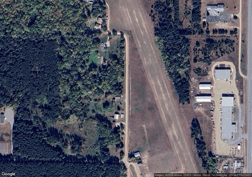
Map
Nearby Homes
- parcel 3 Highway 87
- Track C Highway 87
- parcel 1 Highway 87
- Track B Highway 87
- Track A Highway 87
- 4183 6th St NW
- #27 State Highway 371 NW
- #7 State Highway 371 NW
- #27 TBD State Highway 371 NW
- 114 Washburn Ave W
- 123 King St S
- 340 44th Ave NW
- TBD Sage Dr NW
- xxx SW State 87
- TBD State 87 SW
- 576 Pine Mountain Lake Rd NW
- 1353 State 371 NW
- 1374 Pine Mountain Lake Rd NW
- 948 Pine Mountain Lake Rd NW
- 3911 Division St W
- 595 595 43rd Ave NW
- 595 43rd Ave NW
- 592 45th Ave NW
- 591 43rd Ave NW
- 715 NW State Highway 371
- 715 Minnesota 371
- 541 43rd Ave NW
- 695 State 371 NW
- 695 State 371 NW
- 695 State 371 NW
- 523 43rd Ave NW
- 598 45th Ave NW
- 598 45th Ave NW
- 598 45th Ave NW
- 715 State 371 Frtg NW
- 568 45th Ave NW
- 210 1st St N
- 555 Wood St N
- 535 Wood St N
- 595 Wood St N