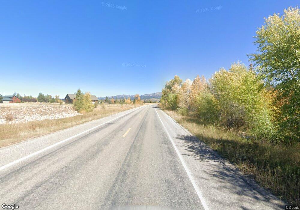
TBD Ski Hill Road 13 Acres Driggs, ID 83422
Estimated Value: $227,000 - $600,000
--
Bed
--
Bath
--
Sq Ft
13.46
Acres
About This Home
This home is located at TBD Ski Hill Road 13 Acres, Driggs, ID 83422 and is currently estimated at $413,500. TBD Ski Hill Road 13 Acres is a home located in Teton County with nearby schools including Driggs Elementary School and Teton High School.
Ownership History
Date
Name
Owned For
Owner Type
Purchase Details
Closed on
Apr 26, 2021
Sold by
Ball Dennis and Ball Rain Regina
Bought by
Rouns Cameron G and Rouns Holly D
Current Estimated Value
Home Financials for this Owner
Home Financials are based on the most recent Mortgage that was taken out on this home.
Original Mortgage
$500,000
Outstanding Balance
$312,883
Interest Rate
4.9%
Mortgage Type
New Conventional
Estimated Equity
$100,617
Purchase Details
Closed on
Oct 2, 2020
Sold by
Muir Barabara and Estate Of Ellen M Bratlien
Bought by
Ball Dennis and Ball Rain Regina
Home Financials for this Owner
Home Financials are based on the most recent Mortgage that was taken out on this home.
Original Mortgage
$270,000
Interest Rate
2.9%
Mortgage Type
New Conventional
Create a Home Valuation Report for This Property
The Home Valuation Report is an in-depth analysis detailing your home's value as well as a comparison with similar homes in the area
Home Values in the Area
Average Home Value in this Area
Purchase History
| Date | Buyer | Sale Price | Title Company |
|---|---|---|---|
| Rouns Cameron G | -- | First American Title Driggs | |
| Ball Dennis | -- | First American Title Driggs |
Source: Public Records
Mortgage History
| Date | Status | Borrower | Loan Amount |
|---|---|---|---|
| Open | Rouns Cameron G | $500,000 | |
| Previous Owner | Ball Dennis | $270,000 |
Source: Public Records
Tax History Compared to Growth
Tax History
| Year | Tax Paid | Tax Assessment Tax Assessment Total Assessment is a certain percentage of the fair market value that is determined by local assessors to be the total taxable value of land and additions on the property. | Land | Improvement |
|---|---|---|---|---|
| 2025 | $1,872 | $528,360 | $528,360 | $0 |
| 2024 | $1,872 | $528,360 | $528,360 | $0 |
| 2023 | $1,872 | $528,360 | $528,360 | $0 |
| 2022 | $1,856 | $434,010 | $434,010 | $0 |
| 2021 | $1,768 | $254,745 | $254,745 | $0 |
| 2020 | $1,184 | $141,330 | $141,330 | $0 |
| 2019 | $1,169 | $141,330 | $141,330 | $0 |
| 2018 | $1,147 | $127,870 | $127,870 | $0 |
| 2017 | $832 | $100,950 | $100,950 | $0 |
| 2016 | $848 | $94,220 | $94,220 | $0 |
| 2015 | $980 | $88,836 | $88,836 | $0 |
| 2011 | -- | $118,448 | $118,448 | $0 |
Source: Public Records
Map
Nearby Homes
- 2339 Talon Cir
- TBD 10 AC. Stateline Rd
- 1918 Targhee Ridge Dr
- 1830 Mount Davidson Dr
- 1185 Sorensen Way
- TBD S Stateline Rd
- 1515 Table Rock Dr
- 250 N 2000 E
- 500 N 2000 E
- 1380 S Sorensen Way
- 1422 Whitetail Dr
- TBD Wildflower Way
- 1904 Paintbrush Cir
- 1313 Whitetail Dr
- 1604 Telemark Trail
- 80 Alta Meadows Rd
- 1191 Prairie Dog Way
- 1745 Crooked Creek Rd
- TBD Sagebrush Rd
- TBD Ski Hill Rd
- 1785 Pioneer Trail
- 1855 Pioneer Trail
- 1575 Red Fox Rd
- 1834 Pioneer Trail
- 1545 Red Fox Rd
- 1705 Pioneer Trail
- 1894 Pioneer Trail
- 1864 Pioneer Trail
- 1864 Pioneer Trail Unit ID1310735P
- 984 Ski Hill Rd
- 154 Red Fox Rd
- 162 Red Fox Rd
- 1734 Pioneer Trail
- 2299 Talon Cir
- 155 Red Fox Rd
- 0 Stateline Rd Unit 6-4812
- 0 Stateline Rd Unit 10-3188
- 0 Stateline Rd Unit 8-973
- 159 Red Fox Rd
- 161 Red Fox Rd