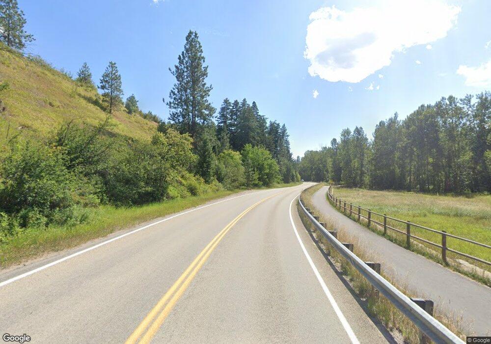
Upper Grant Creek Rd Missoula, MT 59808
Estimated Value: $759,000 - $1,342,000
5
Beds
4
Baths
3,278
Sq Ft
$339/Sq Ft
Est. Value
About This Home
This home is located at Upper Grant Creek Rd, Missoula, MT 59808 and is currently estimated at $1,109,867, approximately $338 per square foot. Upper Grant Creek Rd is a home located in Missoula County with nearby schools including Hellgate Elementary Lower Grades, Hellgate Middle School, and Big Sky High School.
Ownership History
Date
Name
Owned For
Owner Type
Purchase Details
Closed on
Mar 27, 2014
Sold by
Fournler Kenneth G and Snow Janice M
Bought by
Stern Carl and Stern Eric
Current Estimated Value
Home Financials for this Owner
Home Financials are based on the most recent Mortgage that was taken out on this home.
Original Mortgage
$504,000
Outstanding Balance
$381,540
Interest Rate
4.23%
Mortgage Type
New Conventional
Estimated Equity
$728,327
Create a Home Valuation Report for This Property
The Home Valuation Report is an in-depth analysis detailing your home's value as well as a comparison with similar homes in the area
Home Values in the Area
Average Home Value in this Area
Purchase History
| Date | Buyer | Sale Price | Title Company |
|---|---|---|---|
| Stern Carl | -- | Insured Titles Llc |
Source: Public Records
Mortgage History
| Date | Status | Borrower | Loan Amount |
|---|---|---|---|
| Open | Stern Carl | $504,000 |
Source: Public Records
Tax History Compared to Growth
Tax History
| Year | Tax Paid | Tax Assessment Tax Assessment Total Assessment is a certain percentage of the fair market value that is determined by local assessors to be the total taxable value of land and additions on the property. | Land | Improvement |
|---|---|---|---|---|
| 2025 | $9,428 | $1,167,672 | $390,952 | $776,720 |
| 2024 | $10,841 | $1,051,684 | $404,124 | $647,560 |
| 2023 | $9,178 | $1,051,684 | $404,124 | $647,560 |
| 2022 | $7,671 | $723,258 | $0 | $0 |
| 2021 | $7,733 | $723,258 | $0 | $0 |
| 2020 | $7,132 | $648,010 | $0 | $0 |
| 2019 | $7,043 | $648,010 | $0 | $0 |
| 2018 | $6,500 | $604,962 | $0 | $0 |
| 2017 | $6,439 | $604,962 | $0 | $0 |
| 2016 | $5,292 | $535,910 | $0 | $0 |
| 2015 | $4,986 | $535,910 | $0 | $0 |
| 2014 | $3,889 | $224,124 | $0 | $0 |
Source: Public Records
Map
Nearby Homes
- 10780 Grant Creek Rd
- 8900 La Salle Way
- 7855 Parkwood Dr
- 1715 Streamside Ct
- 10248 Covenant Dr
- 2510 Klondike Ct
- NKN Gleneagle Way
- 4815 Gleneagle Way Unit 13.90 Acres
- NNH Gleneagle Way
- 4815 Gleneagle Way
- 6601 Russian Joe Rd
- 5784 Prospect Dr
- 5435 Gentry Way
- 2609 Old Quarry Rd
- 2802 Rockridge Ct Unit 8
- 8925 La Valle Creek Rd
- 8871 Santa Anita Rd
- 8851 Santa Anita Rd
- 7376 Broken Bow Cluster
- 7260 Moon Dancer Cluster
- 10255 Grant Creek Rd
- 10195 Grant Creek Rd
- 10295 Grant Creek Rd
- 10355 Grant Creek Rd
- 10200 Grant Creek Rd
- 10145 Grant Creek Rd
- 10250 Grant Creek Rd
- 10405 Grant Creek Rd
- 10100 Grant Creek Rd
- 10155 Grant Creek Rd
- 10024 Grant Creek Rd
- 10055 Grant Creek Rd
- 10306 Grant Creek Rd
- 10445 Grant Creek Rd
- 10360 Grant Creek Rd
- 10400 Grant Creek Rd
- 10000 Grant Creek Rd
- 10485 Grant Creek Rd
- 10005 Grant Creek Rd
- 9950 Grant Creek Rd
