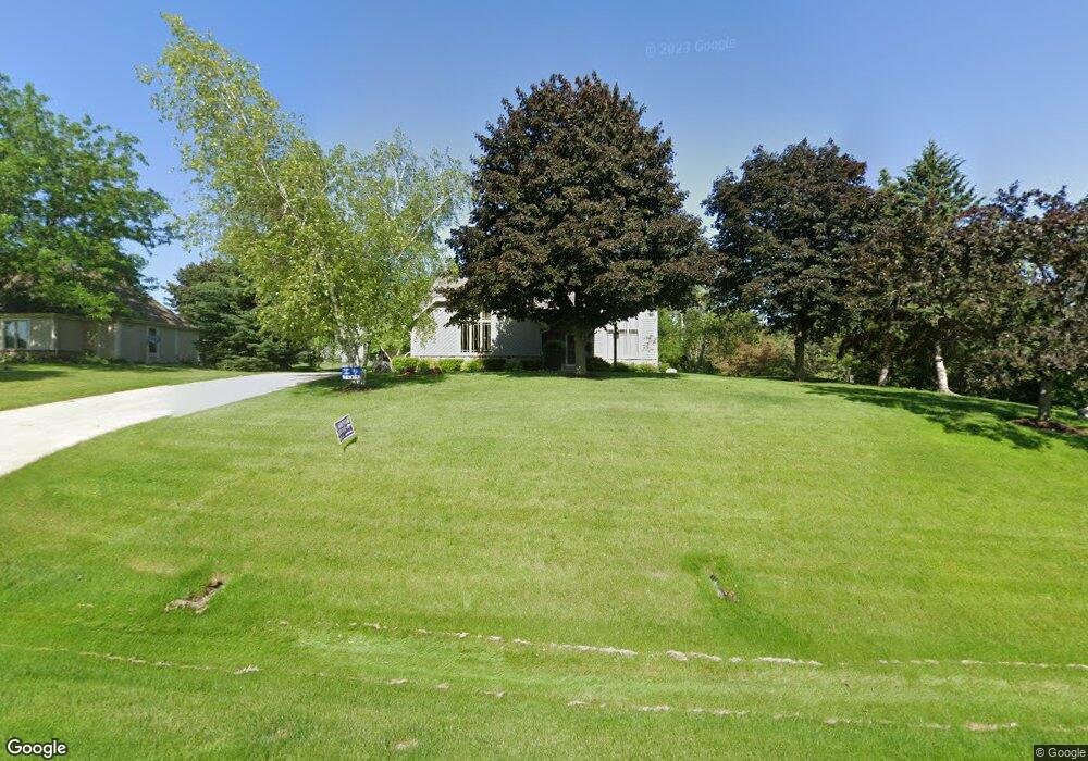
W256S4480 Shadow Ridge Dr Waukesha, WI 53189
Estimated Value: $478,202 - $603,000
--
Bed
--
Bath
--
Sq Ft
0.57
Acres
About This Home
This home is located at W256S4480 Shadow Ridge Dr, Waukesha, WI 53189 and is currently estimated at $537,051. W256S4480 Shadow Ridge Dr is a home located in Waukesha County with nearby schools including Rose Glen Elementary School, Les Paul Middle School - Central Campus, and West High School.
Ownership History
Date
Name
Owned For
Owner Type
Purchase Details
Closed on
Sep 14, 2001
Sold by
Waterman Wayne L and Waterman Barbara J
Bought by
Busse Allen L and Busse Jennie M
Current Estimated Value
Home Financials for this Owner
Home Financials are based on the most recent Mortgage that was taken out on this home.
Original Mortgage
$187,250
Outstanding Balance
$72,645
Interest Rate
6.92%
Estimated Equity
$464,406
Create a Home Valuation Report for This Property
The Home Valuation Report is an in-depth analysis detailing your home's value as well as a comparison with similar homes in the area
Home Values in the Area
Average Home Value in this Area
Purchase History
| Date | Buyer | Sale Price | Title Company |
|---|---|---|---|
| Busse Allen L | $237,300 | -- |
Source: Public Records
Mortgage History
| Date | Status | Borrower | Loan Amount |
|---|---|---|---|
| Open | Busse Allen L | $187,250 |
Source: Public Records
Tax History Compared to Growth
Tax History
| Year | Tax Paid | Tax Assessment Tax Assessment Total Assessment is a certain percentage of the fair market value that is determined by local assessors to be the total taxable value of land and additions on the property. | Land | Improvement |
|---|---|---|---|---|
| 2024 | $3,229 | $332,700 | $80,100 | $252,600 |
| 2023 | $3,123 | $332,700 | $80,100 | $252,600 |
| 2022 | $3,143 | $332,700 | $80,100 | $252,600 |
| 2021 | $3,315 | $332,700 | $80,100 | $252,600 |
| 2020 | $3,526 | $332,700 | $80,100 | $252,600 |
| 2019 | $3,470 | $265,700 | $66,700 | $199,000 |
| 2018 | $3,115 | $265,700 | $66,700 | $199,000 |
| 2017 | $3,259 | $265,700 | $66,700 | $199,000 |
| 2016 | $3,247 | $265,700 | $66,700 | $199,000 |
| 2015 | $3,305 | $265,700 | $66,700 | $199,000 |
| 2014 | $3,398 | $265,700 | $66,700 | $199,000 |
| 2013 | $3,398 | $265,700 | $66,700 | $199,000 |
Source: Public Records
Map
Nearby Homes
- W258S4785 Red Clover Dr
- 2426 Fox River Pkwy Unit G
- S54W25487 Pebble Brook Ct
- S54W25436 Pebble Brook Ct
- Lt6 Finch Ct
- 2856 Fox Lake Cir Unit 102 / 89C
- 2415 Fox River Pkwy Unit H
- 2844 Fox Lake Cir Unit 101
- 2853 Fox Lake Cir Unit 201
- 2848 Fox Lake Cir Unit 10/201
- 2802 Huron Ln
- 1344 Mohican Trail
- W254S4980 Gruettner Dr
- 1629 Mohican Trail
- 1424 White Deer Trail
- Lt45 White Deer Trail
- LtD60 White Deer Trail
- LtD57 White Deer Trail
- LtD61 White Deer Trail
- 1618 White Deer Trail
- S44W25635 High Ridge Ct
- W256S4500 Shadow Ridge Dr
- S44W25605 High Ridge Ct
- S45W25600 Red Oak Dr
- W257S4485 Shadow Ridge Dr
- W257S4455 Shadow Ridge Dr
- S45W25670 Red Oak Ct
- S44W25585 High Ridge Ct
- S45W25570 Red Oak Dr
- S44W25640 High Ridge Ct
- W256S4530 Shadow Ridge Dr
- S45W25595 Red Oak Dr
- S44W25590 High Ridge Ct
- S45W25705 Underwood Ct
- S45W25700 Red Oak Ct
- S45W25665 Red Oak Ct
- S44W25680 Underwood Ct
- S45W25565 Red Oak Dr
- S44W25710 Underwood Ct
- S45W25540 Red Oak Dr