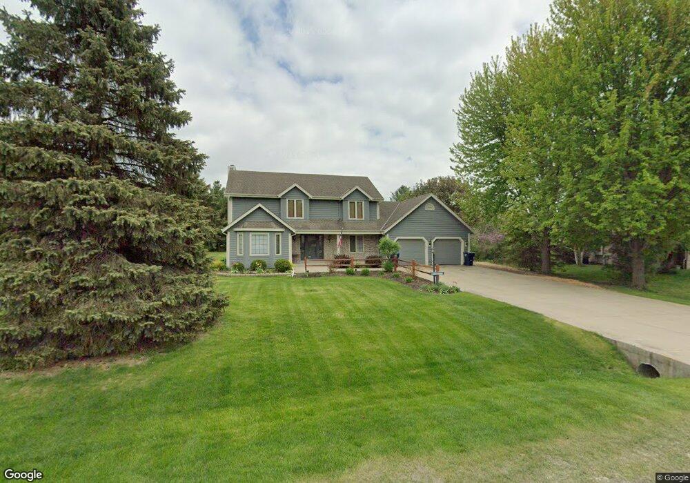
W256S4622 Shadow Ridge Dr Waukesha, WI 53189
Estimated Value: $507,934 - $606,000
--
Bed
--
Bath
--
Sq Ft
0.78
Acres
About This Home
This home is located at W256S4622 Shadow Ridge Dr, Waukesha, WI 53189 and is currently estimated at $551,234. W256S4622 Shadow Ridge Dr is a home located in Waukesha County with nearby schools including Rose Glen Elementary School, Les Paul Middle School - Central Campus, and West High School.
Ownership History
Date
Name
Owned For
Owner Type
Purchase Details
Closed on
Jan 18, 2016
Sold by
Earl Michelle A and Peterson Michelle A
Bought by
Peterson David E
Current Estimated Value
Home Financials for this Owner
Home Financials are based on the most recent Mortgage that was taken out on this home.
Original Mortgage
$198,025
Outstanding Balance
$153,022
Interest Rate
3.12%
Mortgage Type
Adjustable Rate Mortgage/ARM
Estimated Equity
$398,212
Purchase Details
Closed on
Feb 23, 1996
Sold by
Land Improvement Joint Venture
Bought by
Peterson David E and Earl Michelle A
Home Financials for this Owner
Home Financials are based on the most recent Mortgage that was taken out on this home.
Original Mortgage
$150,000
Interest Rate
6.5%
Create a Home Valuation Report for This Property
The Home Valuation Report is an in-depth analysis detailing your home's value as well as a comparison with similar homes in the area
Home Values in the Area
Average Home Value in this Area
Purchase History
| Date | Buyer | Sale Price | Title Company |
|---|---|---|---|
| Peterson David E | -- | None Available | |
| Peterson David E | $34,900 | -- |
Source: Public Records
Mortgage History
| Date | Status | Borrower | Loan Amount |
|---|---|---|---|
| Open | Peterson David E | $198,025 | |
| Previous Owner | Peterson David E | $150,000 |
Source: Public Records
Tax History Compared to Growth
Tax History
| Year | Tax Paid | Tax Assessment Tax Assessment Total Assessment is a certain percentage of the fair market value that is determined by local assessors to be the total taxable value of land and additions on the property. | Land | Improvement |
|---|---|---|---|---|
| 2024 | $3,444 | $354,600 | $90,800 | $263,800 |
| 2023 | $3,334 | $354,600 | $90,800 | $263,800 |
| 2022 | $3,354 | $354,600 | $90,800 | $263,800 |
| 2021 | $3,539 | $354,600 | $90,800 | $263,800 |
| 2020 | $3,760 | $354,600 | $90,800 | $263,800 |
| 2019 | $3,736 | $285,700 | $75,700 | $210,000 |
| 2018 | $3,352 | $285,700 | $75,700 | $210,000 |
| 2017 | $3,504 | $285,700 | $75,700 | $210,000 |
| 2016 | $3,492 | $285,700 | $75,700 | $210,000 |
| 2015 | $3,554 | $285,700 | $75,700 | $210,000 |
| 2014 | $3,666 | $285,700 | $75,700 | $210,000 |
| 2013 | $3,666 | $285,700 | $75,700 | $210,000 |
Source: Public Records
Map
Nearby Homes
- W258S4785 Red Clover Dr
- 2856 Fox Lake Cir Unit 102 / 89C
- 2844 Fox Lake Cir Unit 101
- 2853 Fox Lake Cir Unit 201
- 2848 Fox Lake Cir Unit 10/201
- 1344 Mohican Trail
- 2802 Huron Ln
- W254S4980 Gruettner Dr
- 2426 Fox River Pkwy Unit G
- S50W25838 Chicory Cir
- Lt6 Finch Ct
- 2415 Fox River Pkwy Unit H
- S54W25487 Pebble Brook Ct
- S54W25436 Pebble Brook Ct
- 1424 White Deer Trail
- Lt45 White Deer Trail
- 1629 Mohican Trail
- LtD60 White Deer Trail
- LtD57 White Deer Trail
- 1618 White Deer Trail
- W256S4592 Shadow Ridge Dr
- S46W25649 Shadow Ridge Dr
- S46W25656 Shadow Ridge Dr
- W256S4560 Shadow Ridge Dr
- W256S4569 Shadow Ridge Dr
- N67W27826 Red Oak Ct
- W255S4585 Oakdale Dr
- S46W25698 Shadow Ridge Dr
- W255S4625 Oakdale Dr
- W255S4565 Oakdale Dr
- W256S4530 Shadow Ridge Dr
- S45W25665 Red Oak Ct
- S45W25595 Red Oak Dr
- S45W25695 Red Oak Ct
- S46W25734 Shadow Ridge Dr
- W255S4643 Oakdale Dr
- S46W25705 Shadow Ridge Dr
- S46W25715 Red Oak Ct
- W255S4681 Oakdale Dr
- S46W25680 Lawnsdale Rd