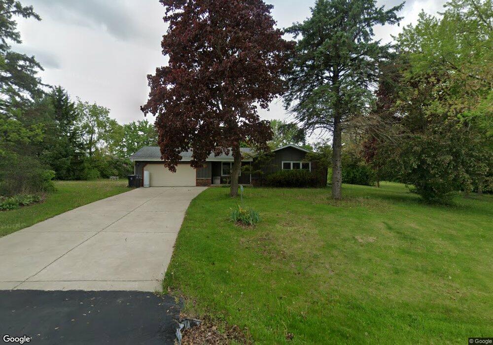
W263S7745 Mount Whitney Ave Waukesha, WI 53189
Estimated Value: $354,000 - $471,000
--
Bed
--
Bath
--
Sq Ft
1
Acres
About This Home
This home is located at W263S7745 Mount Whitney Ave, Waukesha, WI 53189 and is currently estimated at $422,686. W263S7745 Mount Whitney Ave is a home located in Waukesha County with nearby schools including Clarendon Avenue Elementary School, Park View Middle School, and Mukwonago High School.
Ownership History
Date
Name
Owned For
Owner Type
Purchase Details
Closed on
Aug 29, 2014
Sold by
Wehr Karen C
Bought by
Tallarico Carol D
Current Estimated Value
Home Financials for this Owner
Home Financials are based on the most recent Mortgage that was taken out on this home.
Original Mortgage
$163,300
Outstanding Balance
$124,832
Interest Rate
4.1%
Mortgage Type
New Conventional
Estimated Equity
$297,854
Create a Home Valuation Report for This Property
The Home Valuation Report is an in-depth analysis detailing your home's value as well as a comparison with similar homes in the area
Home Values in the Area
Average Home Value in this Area
Purchase History
| Date | Buyer | Sale Price | Title Company |
|---|---|---|---|
| Tallarico Carol D | $171,900 | None Available |
Source: Public Records
Mortgage History
| Date | Status | Borrower | Loan Amount |
|---|---|---|---|
| Open | Tallarico Carol D | $163,300 |
Source: Public Records
Tax History Compared to Growth
Tax History
| Year | Tax Paid | Tax Assessment Tax Assessment Total Assessment is a certain percentage of the fair market value that is determined by local assessors to be the total taxable value of land and additions on the property. | Land | Improvement |
|---|---|---|---|---|
| 2024 | $2,656 | $328,300 | $120,200 | $208,100 |
| 2023 | $2,566 | $328,300 | $120,200 | $208,100 |
| 2022 | $3,066 | $279,100 | $73,600 | $205,500 |
| 2021 | $3,023 | $279,100 | $73,600 | $205,500 |
| 2020 | $3,081 | $279,100 | $73,600 | $205,500 |
| 2019 | $2,885 | $234,600 | $64,000 | $170,600 |
| 2018 | $2,906 | $234,600 | $64,000 | $170,600 |
| 2017 | $2,887 | $234,600 | $64,000 | $170,600 |
| 2016 | $2,876 | $234,600 | $64,000 | $170,600 |
| 2015 | $2,828 | $234,600 | $64,000 | $170,600 |
| 2014 | $3,050 | $0 | $0 | $0 |
| 2013 | $3,050 | $238,700 | $65,000 | $173,700 |
Source: Public Records
Map
Nearby Homes
- S81W26300 National Ave
- S76W25745 Prairieside Dr
- Lt0 Oakdale Dr
- W254S6500 Mcgregor Ct
- W247S6795 Sugar Maple Dr
- W279S8820 Lookout Ln
- W277S9025 Hidden Lakes Ct
- 1725 Cardinal Ct
- The Sheridan Plan at Cardinal Ridge
- The Adrian Plan at Cardinal Ridge
- The Wingra Plan at Cardinal Ridge
- The Harrington Plan at Cardinal Ridge
- The McKinley Plan at Cardinal Ridge
- The Charleston Plan at Cardinal Ridge
- The Atwater Plan at Cardinal Ridge
- The Siena Plan at Cardinal Ridge
- The Saybrook Plan at Cardinal Ridge
- The Catalina Plan at Cardinal Ridge
- The Dover Plan at Cardinal Ridge
- The Addison Plan at Cardinal Ridge
- W263S7740 Mount Whitney Ave
- W263S7725 Mount Whitney Ave
- W263S7720 Mount Whitney Ave
- W264S7715 Mount Whitney Ave
- S77W26450 Crestview Ct
- S77W26470 Crestview Ct
- W263S7655 Mount Everest Ct
- S77W26455 Crestview Ct
- W264S7685 Mount Whitney Ave
- W263S7645 Mount Everest Ct
- S77W26490 Crestview Ct
- W263S7665 Mount Everest Ct
- W264S7680 Mount Whitney Ave
- S77W26465 Crestview Ct
- W264S7665 Mount Whitney Ave
- S77W26485 Crestview Ct
- W263S7660 Mount Everest Ct
- W265S7720 Crestview Dr
- W265S7690 Crestview Dr
- W263S7625 Mount Everest Ct