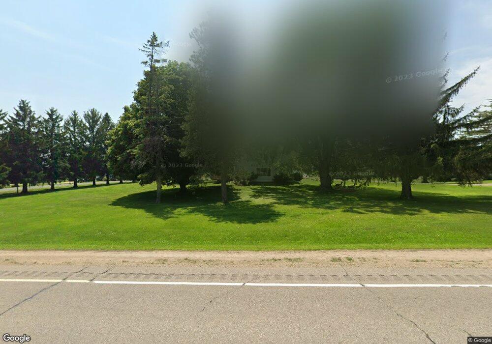
W6337 Us Highway 10 Ellsworth, WI 54011
Estimated Value: $294,000 - $349,000
4
Beds
2
Baths
--
Sq Ft
1.03
Acres
About This Home
This home is located at W6337 Us Highway 10, Ellsworth, WI 54011 and is currently estimated at $313,509. W6337 Us Highway 10 is a home located in Pierce County with nearby schools including Ellsworth High School.
Ownership History
Date
Name
Owned For
Owner Type
Purchase Details
Closed on
Jan 23, 2012
Sold by
Mortgage Electronic Registration Systems
Bought by
Hsbc Mortgage Services Inc
Current Estimated Value
Purchase Details
Closed on
Nov 18, 2008
Sold by
Wm Specialty Mortgage Llc
Bought by
Winger Natah R
Purchase Details
Closed on
Mar 25, 2008
Sold by
Springborn Lance
Bought by
Wm Speciality Mortgage Llc
Purchase Details
Closed on
Apr 18, 2006
Sold by
Mcgrath Jason L
Bought by
Springborn Lance
Home Financials for this Owner
Home Financials are based on the most recent Mortgage that was taken out on this home.
Original Mortgage
$35,400
Interest Rate
6.48%
Mortgage Type
Stand Alone Second
Create a Home Valuation Report for This Property
The Home Valuation Report is an in-depth analysis detailing your home's value as well as a comparison with similar homes in the area
Home Values in the Area
Average Home Value in this Area
Purchase History
| Date | Buyer | Sale Price | Title Company |
|---|---|---|---|
| Hsbc Mortgage Services Inc | -- | None Available | |
| Winger Natah R | $114,900 | None Available | |
| Wm Speciality Mortgage Llc | -- | None Available | |
| Springborn Lance | $177,000 | None Available |
Source: Public Records
Mortgage History
| Date | Status | Borrower | Loan Amount |
|---|---|---|---|
| Previous Owner | Springborn Lance | $35,400 |
Source: Public Records
Tax History Compared to Growth
Tax History
| Year | Tax Paid | Tax Assessment Tax Assessment Total Assessment is a certain percentage of the fair market value that is determined by local assessors to be the total taxable value of land and additions on the property. | Land | Improvement |
|---|---|---|---|---|
| 2024 | $4,217 | $234,400 | $22,300 | $212,100 |
| 2023 | $3,838 | $234,400 | $22,300 | $212,100 |
| 2022 | $2,995 | $234,400 | $22,300 | $212,100 |
| 2021 | $3,452 | $234,400 | $22,300 | $212,100 |
| 2020 | $2,742 | $125,700 | $13,400 | $112,300 |
| 2019 | $2,653 | $125,700 | $13,400 | $112,300 |
| 2018 | $2,562 | $125,700 | $13,400 | $112,300 |
| 2017 | $2,543 | $125,700 | $13,400 | $112,300 |
| 2016 | $2,623 | $125,700 | $13,400 | $112,300 |
| 2015 | $2,585 | $125,700 | $13,400 | $112,300 |
| 2014 | $2,448 | $125,700 | $13,400 | $112,300 |
| 2013 | $2,860 | $153,500 | $14,100 | $139,400 |
Source: Public Records
Map
Nearby Homes
- 332 Pleasant Ave
- 166 E Main St
- 146 E Main St
- 944 S Kelly Rd
- 195 W Humble Ave
- 227 S Piety St
- 232 S Chestnut St
- 230 S Chestnut St
- 269 S Chestnut St
- 841 N Grant St
- 000 S Maple St
- XXX S Maple St
- 185 S Maple St
- 314 N Maple St
- 829 N Grant St
- 883 N Grant St
- 871 N Grant St
- 893 N Grant St
- N5196 732nd St
- N5174 732nd St
- W6337 U S 10
- w 6337 Us Highway 10
- N5163 635th St
- W6310 514th Ave
- 0 635th St
- W6341 Us Highway 10
- W6341 Us Highway 10
- W6315 514th Ave
- W6305 514th Ave
- W6305 514th Ave
- N5165 635th St
- n 5155 635th St
- N5169 635th St
- N5192 635th St
- N5192 635th St
- N5155 635th St
- N5171 635th St
- N5148 635th St
- N5174 635th St
- N5173 635th St