W7540 490th Ave Ellsworth, WI 54011
Estimated Value: $276,000 - $341,000
--
Bed
--
Bath
--
Sq Ft
1.86
Acres
About This Home
This home is located at W7540 490th Ave, Ellsworth, WI 54011 and is currently estimated at $301,772. W7540 490th Ave is a home located in Pierce County with nearby schools including Ellsworth High School.
Ownership History
Date
Name
Owned For
Owner Type
Purchase Details
Closed on
Feb 26, 2020
Sold by
Hove Terry M and Hove Carrie E
Bought by
Obrien Joseph
Current Estimated Value
Home Financials for this Owner
Home Financials are based on the most recent Mortgage that was taken out on this home.
Original Mortgage
$144,500
Outstanding Balance
$128,217
Interest Rate
3.6%
Mortgage Type
New Conventional
Estimated Equity
$173,555
Purchase Details
Closed on
Oct 13, 2015
Sold by
Leonard Carrie E and Hove Carrie E
Bought by
Hove Terry M and Hove Carrie E
Create a Home Valuation Report for This Property
The Home Valuation Report is an in-depth analysis detailing your home's value as well as a comparison with similar homes in the area
Home Values in the Area
Average Home Value in this Area
Purchase History
| Date | Buyer | Sale Price | Title Company |
|---|---|---|---|
| Obrien Joseph | $170,000 | Pierce County Abstract & Tit | |
| Hove Terry M | -- | None Available |
Source: Public Records
Mortgage History
| Date | Status | Borrower | Loan Amount |
|---|---|---|---|
| Open | Obrien Joseph | $144,500 |
Source: Public Records
Tax History Compared to Growth
Tax History
| Year | Tax Paid | Tax Assessment Tax Assessment Total Assessment is a certain percentage of the fair market value that is determined by local assessors to be the total taxable value of land and additions on the property. | Land | Improvement |
|---|---|---|---|---|
| 2024 | $4,106 | $173,400 | $38,600 | $134,800 |
| 2023 | $3,551 | $173,400 | $38,600 | $134,800 |
| 2022 | $3,158 | $173,400 | $38,600 | $134,800 |
| 2021 | $3,035 | $173,400 | $38,600 | $134,800 |
| 2020 | $2,918 | $173,400 | $38,600 | $134,800 |
| 2019 | $2,927 | $173,400 | $38,600 | $134,800 |
| 2018 | $2,899 | $173,400 | $38,600 | $134,800 |
| 2017 | $3,059 | $173,400 | $38,600 | $134,800 |
| 2016 | $3,032 | $173,400 | $38,600 | $134,800 |
| 2015 | $2,772 | $173,400 | $38,600 | $134,800 |
| 2014 | $2,651 | $173,400 | $38,600 | $134,800 |
| 2013 | $2,966 | $173,400 | $38,600 | $134,800 |
Source: Public Records
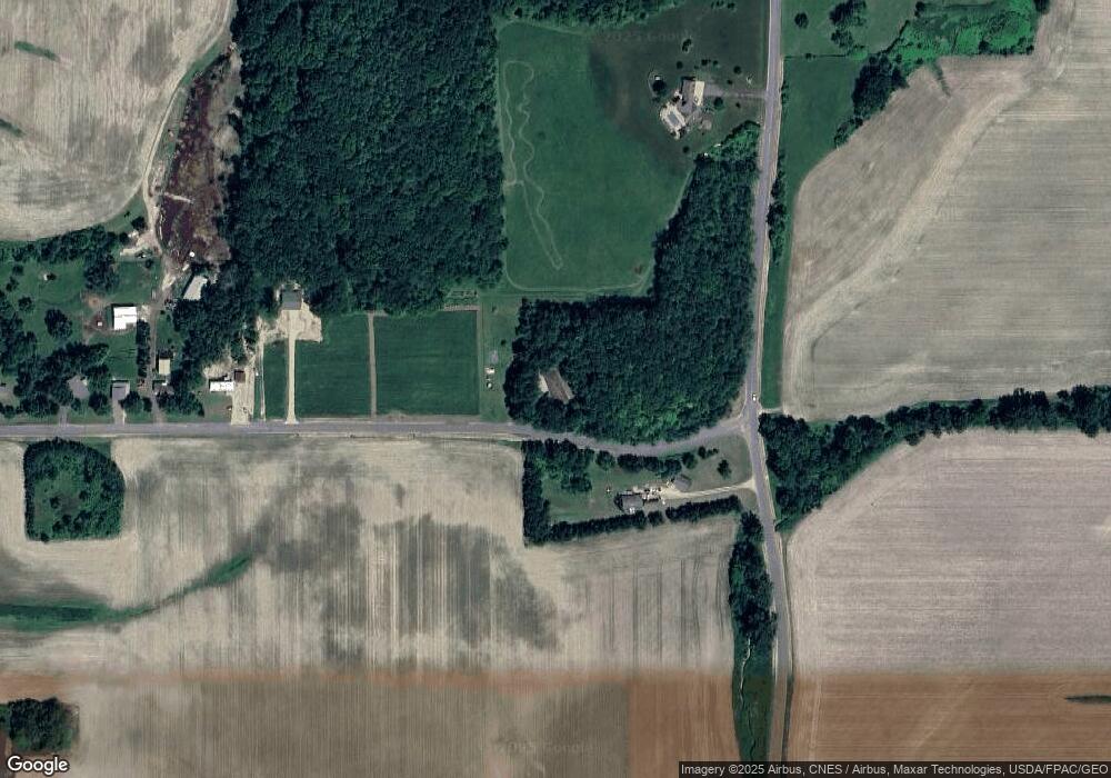
Map
Nearby Homes
- N5135 732nd St
- N5174 732nd St
- N5196 732nd St
- W7366 US Highway 10
- 000 S Maple St
- XXX S Maple St
- 610 W Crest Ln
- 185 S Maple St
- Lot 2 549th Ave
- 269 S Chestnut St
- 232 S Chestnut St
- 230 S Chestnut St
- 195 W Humble Ave
- 227 S Piety St
- 314 N Maple St
- 944 S Kelly Rd
- 580 Burton Cir
- 146 E Main St
- 841 N Grant St
- 166 E Main St
- N4889 750th St
- W7582 490th Ave
- N4961 750th St
- W7598 490th Ave
- W7612 490th Ave
- W7630 490th Ave
- N5003 750th St
- W7650 490th Ave
- W7650 490th Ave
- N4990 750th St
- N5008 750th St
- N5028 750th St
- N5036 750th St
- N4836 Us Highway 63
- N5037 745th St
- N4914 Us Highway 63
- N4914 Us Highway 63
- N4924 Us Highway 63
- N4932 Us Highway 63
- N5055 750th St