W7650 490th Ave Ellsworth, WI 54011
Estimated Value: $335,000 - $345,789
3
Beds
2
Baths
--
Sq Ft
3
Acres
About This Home
This home is located at W7650 490th Ave, Ellsworth, WI 54011 and is currently estimated at $340,263. W7650 490th Ave is a home located in Pierce County with nearby schools including Ellsworth High School.
Ownership History
Date
Name
Owned For
Owner Type
Purchase Details
Closed on
Apr 29, 2019
Sold by
Clendenen Joseph W and Clendenen Amy J
Bought by
Schmidt Ronald R and Schmidt Shannon M
Current Estimated Value
Home Financials for this Owner
Home Financials are based on the most recent Mortgage that was taken out on this home.
Original Mortgage
$218,250
Interest Rate
3.7%
Mortgage Type
New Conventional
Purchase Details
Closed on
Aug 15, 2008
Sold by
Nill Dorothy L
Bought by
Clendenen Joseph W and Hoff Amy J
Home Financials for this Owner
Home Financials are based on the most recent Mortgage that was taken out on this home.
Original Mortgage
$154,770
Interest Rate
6.31%
Mortgage Type
FHA
Create a Home Valuation Report for This Property
The Home Valuation Report is an in-depth analysis detailing your home's value as well as a comparison with similar homes in the area
Home Values in the Area
Average Home Value in this Area
Purchase History
| Date | Buyer | Sale Price | Title Company |
|---|---|---|---|
| Schmidt Ronald R | $225,000 | Northwest Land Title Inc | |
| Clendenen Joseph W | $158,200 | None Available |
Source: Public Records
Mortgage History
| Date | Status | Borrower | Loan Amount |
|---|---|---|---|
| Previous Owner | Schmidt Ronald R | $218,250 | |
| Previous Owner | Clendenen Joseph W | $154,770 |
Source: Public Records
Tax History Compared to Growth
Tax History
| Year | Tax Paid | Tax Assessment Tax Assessment Total Assessment is a certain percentage of the fair market value that is determined by local assessors to be the total taxable value of land and additions on the property. | Land | Improvement |
|---|---|---|---|---|
| 2024 | $4,329 | $182,800 | $42,300 | $140,500 |
| 2023 | $3,743 | $182,800 | $42,300 | $140,500 |
| 2022 | $3,133 | $182,800 | $42,300 | $140,500 |
| 2021 | $2,987 | $182,800 | $42,300 | $140,500 |
| 2020 | $2,923 | $182,800 | $42,300 | $140,500 |
| 2019 | $2,901 | $182,800 | $42,300 | $140,500 |
| 2018 | $2,887 | $182,800 | $42,300 | $140,500 |
| 2017 | $3,100 | $182,800 | $42,300 | $140,500 |
| 2016 | $3,053 | $182,800 | $42,300 | $140,500 |
| 2015 | $2,812 | $182,800 | $42,300 | $140,500 |
| 2014 | $2,680 | $182,800 | $42,300 | $140,500 |
| 2013 | $3,013 | $182,800 | $42,300 | $140,500 |
Source: Public Records
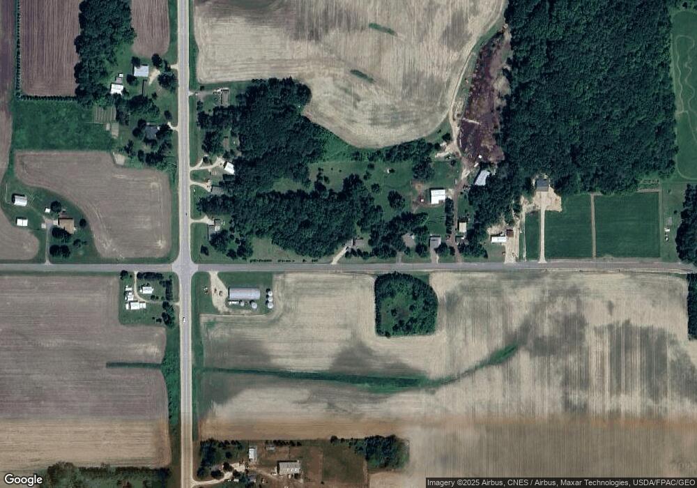
Map
Nearby Homes
- N5135 732nd St
- N5174 732nd St
- N5196 732nd St
- W7366 US Highway 10
- Lot 2 549th Ave
- 000 S Maple St
- XXX S Maple St
- 610 W Crest Ln
- 185 S Maple St
- 269 S Chestnut St
- 232 S Chestnut St
- 230 S Chestnut St
- 195 W Humble Ave
- 314 N Maple St
- 227 S Piety St
- 580 Burton Cir
- 944 S Kelly Rd
- 841 N Grant St
- 146 E Main St
- 166 E Main St
- W7650 490th Ave
- W7630 490th Ave
- W7612 490th Ave
- N4914 Us Highway 63
- N4914 Us Highway 63
- W7598 490th Ave
- N4924 Us Highway 63
- N4932 Us Highway 63
- N4954 Us Highway 63
- N4891 Us Highway 63
- W7582 490th Ave
- N4941 Us Highway 63
- N4836 Us Highway 63
- N4957 Us Highway 63
- W7740 490th Ave
- N4810 Us Highway 63
- N4825 Us Highway 63
- N4810 Hwy 63
- N4984 Us Highway 63
- W7540 490th Ave