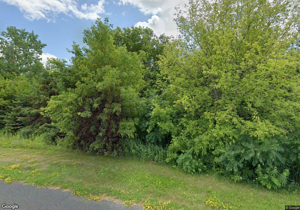
XXX Stonebrooke Curve Shakopee, MN 55379
Estimated Value: $945,000 - $999,000
5
Beds
3
Baths
2,178
Sq Ft
$450/Sq Ft
Est. Value
About This Home
This home is located at XXX Stonebrooke Curve, Shakopee, MN 55379 and is currently estimated at $979,214, approximately $449 per square foot. XXX Stonebrooke Curve is a home located in Scott County with nearby schools including Sweeney Elementary School, East Middle School, and Shakopee Senior High School.
Ownership History
Date
Name
Owned For
Owner Type
Purchase Details
Closed on
May 25, 2018
Sold by
Denzer Terrence L and Denzer Teresa H
Bought by
Denzer Terrence L and Denzer Teresa H
Current Estimated Value
Purchase Details
Closed on
May 25, 2012
Sold by
Citizens State Bank Of Shakopee
Bought by
Denzer Terrence L and Denzer Teresa H
Home Financials for this Owner
Home Financials are based on the most recent Mortgage that was taken out on this home.
Original Mortgage
$87,750
Interest Rate
3.92%
Mortgage Type
Purchase Money Mortgage
Purchase Details
Closed on
Aug 4, 2000
Sold by
Welch Brian and Welch Julie L
Bought by
Forbes David and Forbes Jean
Purchase Details
Closed on
Apr 27, 1998
Sold by
Dawson Creek Land Investment Company Inc
Bought by
Welch Brian and Welch Julie L
Create a Home Valuation Report for This Property
The Home Valuation Report is an in-depth analysis detailing your home's value as well as a comparison with similar homes in the area
Home Values in the Area
Average Home Value in this Area
Purchase History
| Date | Buyer | Sale Price | Title Company |
|---|---|---|---|
| Denzer Terrence L | -- | None Available | |
| Denzer Terrence L | $135,000 | Scott County Abstract & Titl | |
| Forbes David | $130,000 | -- | |
| Welch Brian | $95,000 | -- |
Source: Public Records
Mortgage History
| Date | Status | Borrower | Loan Amount |
|---|---|---|---|
| Previous Owner | Denzer Terrence L | $87,750 |
Source: Public Records
Tax History Compared to Growth
Tax History
| Year | Tax Paid | Tax Assessment Tax Assessment Total Assessment is a certain percentage of the fair market value that is determined by local assessors to be the total taxable value of land and additions on the property. | Land | Improvement |
|---|---|---|---|---|
| 2025 | $7,640 | $826,700 | $353,900 | $472,800 |
| 2024 | $7,062 | $837,100 | $357,200 | $479,900 |
| 2023 | $7,304 | $771,600 | $330,200 | $441,400 |
| 2022 | $6,710 | $786,200 | $303,900 | $482,300 |
| 2021 | $5,936 | $626,800 | $227,700 | $399,100 |
| 2020 | $6,788 | $621,900 | $224,600 | $397,300 |
| 2019 | $6,642 | $605,300 | $216,800 | $388,500 |
| 2018 | $6,626 | $0 | $0 | $0 |
| 2016 | $6,350 | $0 | $0 | $0 |
Source: Public Records
Map
Nearby Homes
- 13864 Stonebrooke Curve
- 13599 Stonebrooke Curve
- 1XX Stonebrooke Curve
- 3XX Stonebrooke Curve
- 14020 Townline Ave
- 13400 Townline Ave
- 2657 Aspen Dr
- 2624 Lakeview Dr
- 13950 Marystown Rd
- 13720 Marystown Rd
- 746 Peninsula Point Rd
- 2390 Jennifer Ln
- 981 Peninsula Point Rd
- 736 Barrington Dr E
- 265 Mallard Dr
- 1017 Vista Ridge Ln
- 1353 Ridge Ln
- 1363 Ridge Ln
- 1719 Marsh View Terrace
- 1742 Marsh View Terrace
- 13886 Stonebrooke Curve
- 13720 Stonebrooke Curve
- 245 Stonebrooke Ct
- 277 Stonebrooke Ct
- 13650 Townline Ave
- 13680 Townline Ave
- 305 Stonebrooke Ct
- 2XX Stonebrooke Curve
- 4XX Stonebrooke Curve
- 14030 Autumn Trail
- 14041 Autumn Trail
- 13642 Stonebrooke Curve
- 13600 Stonebrooke Curve
- 13674 Stonebrooke Curve
- 13860 Townline Ave
- 13696 Stonebrooke Curve
- 300 Stonebrooke Ct
- 14046 Autumn Trail
- 14055 Autumn Trail
- 13940 Townline Ave
