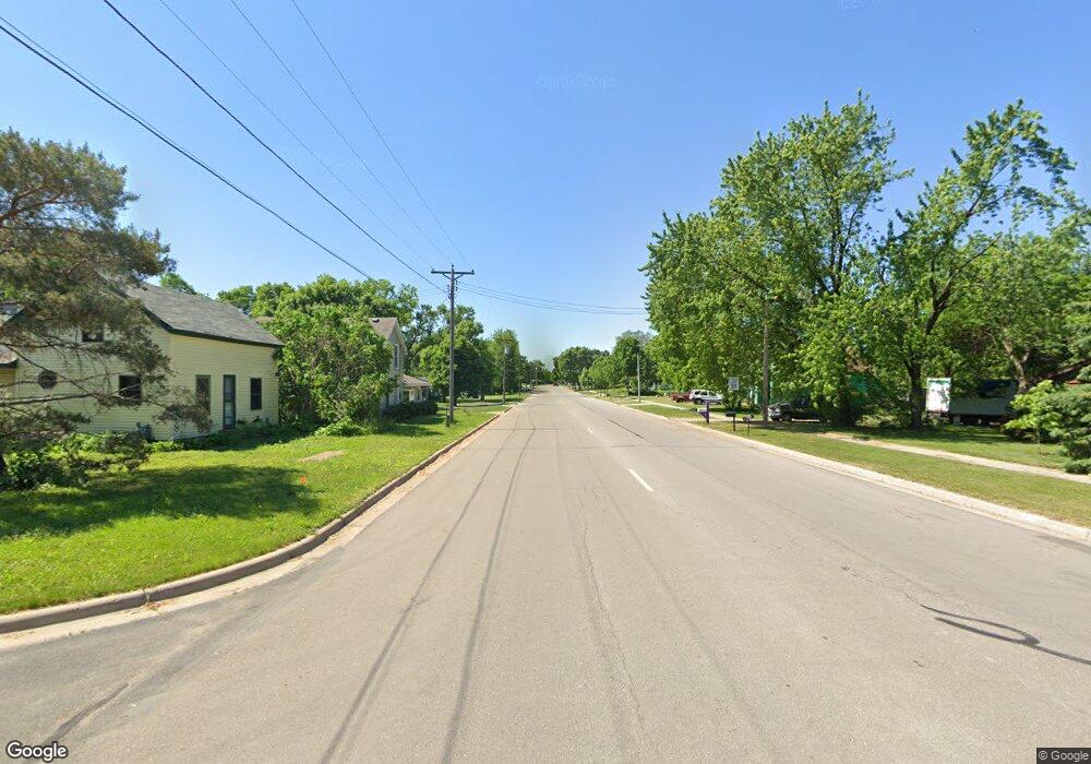
XXXX Mill St W Dundas, MN 55019
Estimated Value: $90,000 - $93,000
--
Bed
--
Bath
--
Sq Ft
0.25
Acres
About This Home
This home is located at XXXX Mill St W, Dundas, MN 55019 and is currently estimated at $91,571. XXXX Mill St W is a home located in Rice County with nearby schools including Bridgewater Elementary School, Northfield Middle School, and Northfield Senior High School.
Ownership History
Date
Name
Owned For
Owner Type
Purchase Details
Closed on
May 20, 2022
Sold by
Mcmurtrey Michael F and Mcmurtrey Leslie J
Bought by
Hachfeld Michael
Current Estimated Value
Purchase Details
Closed on
Jun 23, 2021
Sold by
Modory Grant L and Modory Tracy L
Bought by
Mcmurtrey Michael F and Mcmurtrey Leslie J
Purchase Details
Closed on
Oct 30, 2013
Sold by
Martin Deborah
Bought by
Modory Grant and Modory Tracy
Home Financials for this Owner
Home Financials are based on the most recent Mortgage that was taken out on this home.
Original Mortgage
$18,000
Interest Rate
4.24%
Mortgage Type
Future Advance Clause Open End Mortgage
Create a Home Valuation Report for This Property
The Home Valuation Report is an in-depth analysis detailing your home's value as well as a comparison with similar homes in the area
Home Values in the Area
Average Home Value in this Area
Purchase History
| Date | Buyer | Sale Price | Title Company |
|---|---|---|---|
| Hachfeld Michael | $68,500 | Trademark Title | |
| Mcmurtrey Michael F | $68,000 | Titlesmart Inc | |
| Modory Grant | $24,000 | -- | |
| Mcmurtrey Michael Michael | $68,000 | -- |
Source: Public Records
Mortgage History
| Date | Status | Borrower | Loan Amount |
|---|---|---|---|
| Previous Owner | Modory Grant | $18,000 |
Source: Public Records
Tax History Compared to Growth
Tax History
| Year | Tax Paid | Tax Assessment Tax Assessment Total Assessment is a certain percentage of the fair market value that is determined by local assessors to be the total taxable value of land and additions on the property. | Land | Improvement |
|---|---|---|---|---|
| 2025 | $1,200 | $73,600 | $73,600 | $0 |
| 2024 | $1,098 | $64,000 | $64,000 | $0 |
| 2023 | $1,136 | $64,000 | $64,000 | $0 |
| 2022 | $434 | $64,000 | $64,000 | $0 |
| 2021 | $558 | $22,700 | $22,700 | $0 |
| 2020 | $494 | $28,300 | $28,300 | $0 |
| 2019 | $506 | $25,200 | $25,200 | $0 |
| 2018 | $516 | $25,200 | $25,200 | $0 |
| 2017 | $452 | $25,200 | $25,200 | $0 |
| 2016 | $486 | $22,000 | $22,000 | $0 |
| 2015 | $474 | $22,000 | $22,000 | $0 |
| 2014 | -- | $22,000 | $22,000 | $0 |
Source: Public Records
Map
Nearby Homes
- 210 Mill St W
- 514 Miller Ln
- xxx Weaver Rd
- 2068 Millersburg Blvd W
- 900 Cannon Rd
- 2714 Brockman Ct Unit 712
- Outlot Honeylocust Dr
- 2620 Oak Lawn Dr
- 2804 Oak Lawn Dr
- 2704 Oak Lawn Dr
- 2708 Oak Lawn Dr
- 1418 Bluff St
- 1355 Bridgewater Pkwy
- 546 Cannon Way
- 513 Cannon Way
- 5755 115th St E
- 511 French Ln
- 2004 Lincoln St S
- 115 115th St E
- 2206 Grant Ct
- XXXXX Mill St W
- 202 Mill St W
- 204 Forest Ave N
- 303 Hester St W
- 116 Forest Ave N
- 208 208 Forest Ave S
- 208 Forest Ave S
- 213 Mill St W
- 112 Forest Ave N
- 111 Depot St N
- 212 Forest Ave N
- 108 Forest Ave N
- 108 108 Forest-Avenue-n
- 117 Mill St W
- 112 Mill St W
- 113 Mill St W
- 113 Forest Ave N
- 104 Forest Ave N
- 303 Grindstone Ln
- 107 Depot St N
