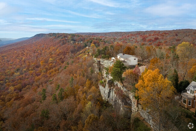
Plateau perch just north of Chattanooga
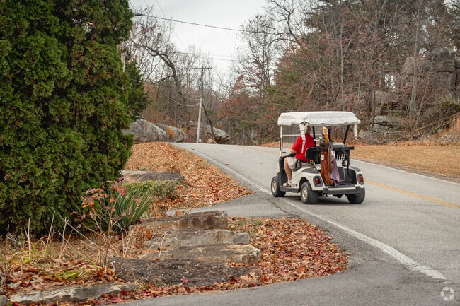
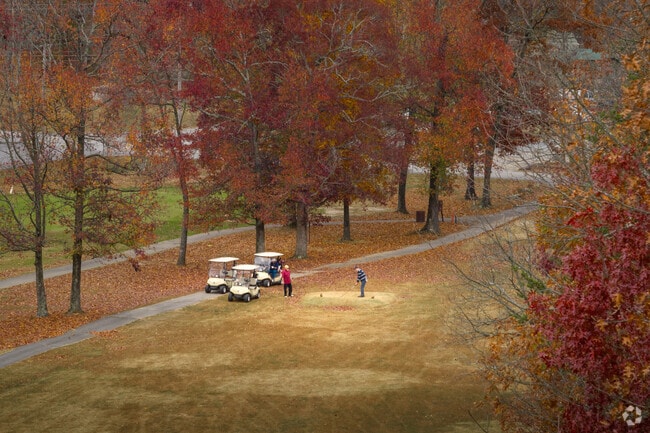
Mowbray Mountain—locals simply call it “Mowbray”— is set atop the Cumberland Plateau, about 23 miles from downtown Chattanooga. The unincorporated community is ringed by thousands of acres of protected hardwood forest, where greenways snake toward cascades and creeks. "You'll find a lot of locally owned businesses, farmers and livestock," says local Realtor Gloria Page. "On weekends, neighbors lace up to tackle the hiking trails, have picnics or just sit beneath the tall pines."
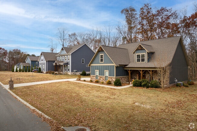
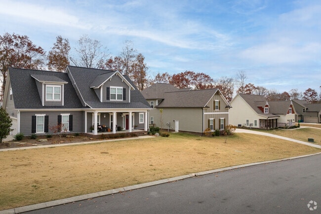
Modern farmhouses meet classic split-levels on mountain roads
Set along scenic mountain roads, Mowbray offers a mix of homes and price points. At the entry level, manufactured homes and classic split-levels generally sell below the area’s $580,000 median sale price. Move-up shoppers gravitate to the area’s modern farmhouses, many of which lie in the growing Coopers Creek subdivision. The newest farmhouses span between 4,000 and 6,000 square feet and regularly top $1 million, anchoring the community’s upper price-tier.
A-minus elementary and IB programs at Signal Mountain schools
Local kids can start school at Nolan Elementary, which earns an A-minus from Niche, then continue to the B-plus rated Signal Mountain Middle and High School. Signal Mountain High is known for their International Baccalaureate (IB) Middle Years Programme and athletics, winning over 15 State Championships over the years.
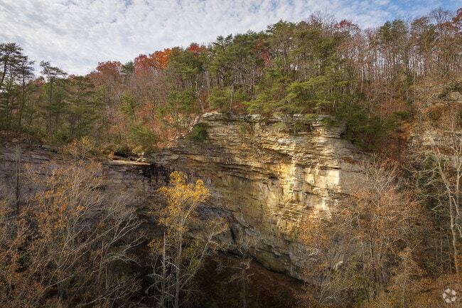
Trailheads lead to gorges, bluffs and swimming holes
The Cumberland Trail crosses the ridge just west of town, and its North Chickamauga segment drops into a sandstone gorge lined with swimming holes and 200-foot bluffs. A few miles north, hikers use the trailhead at Big Soddy Creek Gulf to reach waterfalls and a 3-mile creekside path that connects to longer back-country routes. Closer to home, everyday play happens at Mowbray Park, which packs two lighted tennis courts, a baseball diamond and a covered batting cage beside its picnic area. Poe’s Tavern Park sits on the very spot where frontiersman Hasten Poe built his log tavern in 1817, a structure that moonlighted as Hamilton County’s first courthouse. Though the original building was torn down in 1915, a replica now serves as a museum showcasing pioneer artifacts, stories of the Cherokee Removal and Civil War field-hospital lore. The park features a short walking loop, picnic shelters and panels that chart the site’s journey from Poe’s roadside inn to the railroad hamlet of Daisy and, ultimately, modern Soddy-Daisy.
Soddy-Daisy diners and a full-service Food City down the hill
Residents head down the mountain to Soddy-Daisy when they need a meal or a grocery run. Wimpie’s Country Restaurant dishes up meat-and-three plates and diner-style breakfasts, Ricko’s Pizzeria & Italian Cuisine handles pizza night and pasta cravings and Fresh Burger Grill turns out made-to-order burgers and hand-cut fries. Just up the road, the full-service Food City stocks produce, a butcher counter, and curbside pickup, covering nearly all pantry and household needs in one stop. The combination of these locally owned eateries and a convenient midsize supermarket lets Mowbray households handle errands and casual dining close to home without the longer drive into Chattanooga.
Mowbray Pike, U.S. 127 and scenic Suck Creek Road to the city
Mowbray Pike drops off the mountain to meet U.S. 127, then runs south another into downtown Chattanooga. At the base, U.S. 127 links quickly with U.S. 27, I-24 and I-75 for trips to Nashville, Knoxville or Atlanta. Regional buses operated by CARTA reach Red Bank and Hixson Park-and-Ride lots just off the mountain, while demand-response service from SETHRA offers curb-to-curb rides across Hamilton County for seniors and commuters without cars. When travel plans reach farther, Chattanooga Metropolitan Airport (CHA) sits 22 miles—roughly a 35-minute drive—via TN-153.
![Morgan Nowland]()
Photography Contributed By
Morgan Nowland