Estimated Value: $522,000
--
Bed
--
Bath
--
Sq Ft
0.75
Acres
About This Home
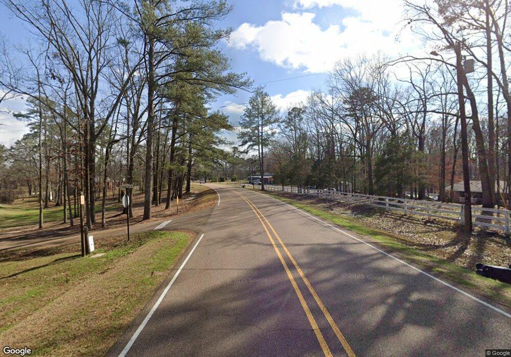
This home is located at 0 El Dorado Rd Unit 1312700, Pearl, MS 39208 and is currently estimated at $522,000. 0 El Dorado Rd Unit 1312700 is a home located in Rankin County with nearby schools including Pearl Lower Elementary School, Pearl Upper School, and Northside Elementary School.
Ownership History
Date
Name
Owned For
Owner Type
Purchase Details
Closed on
Jul 22, 2021
Sold by
Gray George
Bought by
Johnny D Mcfarland And Carrie S Mcfarland Rev and Mcfarland
Current Estimated Value
Purchase Details
Closed on
Apr 4, 2017
Sold by
Gray George R
Bought by
City Of Pearl Mississippi
Purchase Details
Closed on
Oct 7, 2016
Sold by
Gray Gary C
Bought by
Gray George A
Purchase Details
Closed on
Dec 21, 2007
Sold by
Gray George R
Bought by
Gray Gary C
Purchase Details
Closed on
Dec 6, 2007
Sold by
Gray George and Gray Jo Ann C
Bought by
Gray Gary C
Create a Home Valuation Report for This Property
The Home Valuation Report is an in-depth analysis detailing your home's value as well as a comparison with similar homes in the area
Home Values in the Area
Average Home Value in this Area
Purchase History
| Date | Buyer | Sale Price | Title Company |
|---|---|---|---|
| Johnny D Mcfarland And Carrie S Mcfarland Rev | -- | Johnston Jerry T | |
| City Of Pearl Mississippi | -- | None Available | |
| Gray George A | -- | None Available | |
| Gray Gary C | -- | -- | |
| Gray Gary C | -- | -- |
Source: Public Records
Tax History Compared to Growth
Tax History
| Year | Tax Paid | Tax Assessment Tax Assessment Total Assessment is a certain percentage of the fair market value that is determined by local assessors to be the total taxable value of land and additions on the property. | Land | Improvement |
|---|---|---|---|---|
| 2024 | $83 | $666 | $0 | $0 |
| 2023 | $83 | $666 | $0 | $0 |
| 2022 | $82 | $666 | $0 | $0 |
| 2021 | $137 | $1,110 | $0 | $0 |
| 2020 | $137 | $1,110 | $0 | $0 |
| 2019 | $140 | $1,110 | $0 | $0 |
| 2018 | $138 | $1,110 | $0 | $0 |
| 2017 | $186 | $1,500 | $0 | $0 |
| 2016 | $179 | $1,500 | $0 | $0 |
| 2015 | $179 | $1,500 | $0 | $0 |
| 2014 | $176 | $1,500 | $0 | $0 |
| 2013 | $167 | $1,500 | $0 | $0 |
Source: Public Records
Map
Nearby Homes
- 446 Piney Dr
- 418 Piney Dr
- 416 Piney Dr
- 406 Piney Dr
- HOLLY Plan at The Hollows
- IRIS Plan at The Hollows
- DESTIN Plan at The Hollows
- RHETT Plan at The Hollows
- RIVERSIDE Plan at The Hollows
- MADISON Plan at The Hollows
- 426 Piney Dr
- 432 Piney Dr
- 430 Piney Dr
- 425 Piney Dr
- 703 Tower Ridge Cove
- 225 Burnham Rd
- FREEPORT Plan at Serenity Lake
- Rhett Plan at Serenity Lake
- JEMISON Plan at Serenity Lake
- HOLLY Plan at Serenity Lake
- 0 El Dorado Rd Unit 312700
- 0 El Dorado Rd Unit 1321334
- 0 El Dorado Rd Unit 333692
- 0 El Dorado Rd Unit 3.18A IN SW4 NE4 DB
- 201 Hollow Ln
- 260 Eldorado Rd
- 260 El Dorado Rd
- 214 Hollow Ln
- 240 Eldorado Rd
- 270 Eldorado Rd
- 200 Hollow Ln
- 230 Eldorado Rd
- 141 Ludlow Rd
- 728 Tower Ridge Cove
- 124 Ludlow Rd
- 140 Ludlow Rd
- 300 Eldorado Rd
- 300 Eagle Cove
- 200 Eldorado Rd
- 310 Eldorado Rd