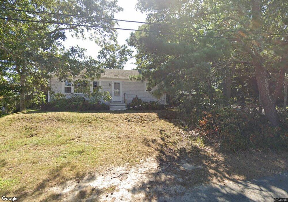
1 Forest Rd Mashpee, MA 02649
Popponesset NeighborhoodEstimated Value: $943,140 - $1,121,000
2
Beds
1
Bath
864
Sq Ft
$1,208/Sq Ft
Est. Value
About This Home
This home is located at 1 Forest Rd, Mashpee, MA 02649 and is currently estimated at $1,043,535, approximately $1,207 per square foot. 1 Forest Rd is a home located in Barnstable County with nearby schools including Kenneth C. Coombs School, Quashnet School, and Mashpee Middle School.
Create a Home Valuation Report for This Property
The Home Valuation Report is an in-depth analysis detailing your home's value as well as a comparison with similar homes in the area
Home Values in the Area
Average Home Value in this Area
Tax History
| Year | Tax Paid | Tax Assessment Tax Assessment Total Assessment is a certain percentage of the fair market value that is determined by local assessors to be the total taxable value of land and additions on the property. | Land | Improvement |
|---|---|---|---|---|
| 2025 | $6,651 | $1,004,700 | $812,400 | $192,300 |
| 2024 | $5,928 | $921,900 | $738,700 | $183,200 |
| 2023 | $5,969 | $851,500 | $703,300 | $148,200 |
| 2022 | $5,660 | $692,800 | $571,800 | $121,000 |
| 2021 | $5,575 | $614,700 | $515,100 | $99,600 |
| 2020 | $5,374 | $591,200 | $495,400 | $95,800 |
| 2019 | $5,287 | $584,200 | $495,400 | $88,800 |
| 2018 | $5,108 | $572,700 | $495,400 | $77,300 |
| 2017 | $4,682 | $509,500 | $440,400 | $69,100 |
| 2016 | $4,153 | $449,500 | $385,300 | $64,200 |
| 2015 | $3,712 | $407,500 | $346,800 | $60,700 |
| 2014 | $3,681 | $392,000 | $332,200 | $59,800 |
Source: Public Records
Map
Nearby Homes
- 251 Shore Dr Unit C2
- 251 Shore Dr Unit B1
- 251 Shore Dr Unit D1
- 251 Shore Dr Unit D1
- 251 Shore Dr Unit B1
- 251 Shore Dr Unit C2
- 42 Kim Path
- 37 The Hunt Cir
- 101 Greensward Rd
- 3 Hyannis Point Rd Unit 790
- 3 Hyannis Point Rd
- 14 Hammock Pond Rd Unit 789
- 6 Hammock Pond Rd
- 6 Hammock Pond Rd Unit 6
- 15 Brant Rock Rd Unit 765
- 5 Hydrangea Ln Unit 782
- 33 Landmark Ave
- 21 Milestone Way Unit 620
- 4 Hyannis Point Rd Unit 4
- 21 Saltwater Cir
Your Personal Tour Guide
Ask me questions while you tour the home.