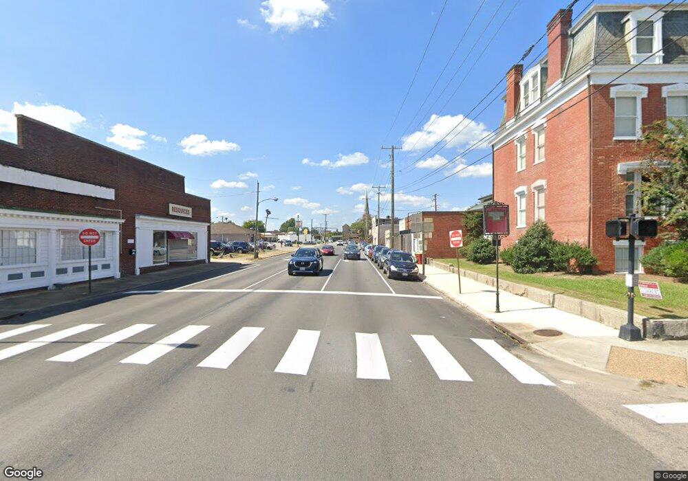
1 Lave Franklin, NH 03235
Estimated Value: $392,000 - $488,000
3
Beds
2
Baths
2,364
Sq Ft
$187/Sq Ft
Est. Value
About This Home
This home is located at 1 Lave, Franklin, NH 03235 and is currently estimated at $442,299, approximately $187 per square foot. 1 Lave is a home located in Merrimack County with nearby schools including Paul A. Smith School, Franklin Middle School, and Franklin High School.
Ownership History
Date
Name
Owned For
Owner Type
Purchase Details
Closed on
Jul 13, 2018
Sold by
Marron Danielle and Marron James
Bought by
Collins Katherine E and Collins Michael T
Current Estimated Value
Home Financials for this Owner
Home Financials are based on the most recent Mortgage that was taken out on this home.
Original Mortgage
$186,459
Outstanding Balance
$162,481
Interest Rate
4.75%
Mortgage Type
FHA
Estimated Equity
$279,818
Purchase Details
Closed on
Jan 13, 2015
Sold by
Moyer John W and Bruning Jack R
Bought by
Digital Eye Llc
Create a Home Valuation Report for This Property
The Home Valuation Report is an in-depth analysis detailing your home's value as well as a comparison with similar homes in the area
Home Values in the Area
Average Home Value in this Area
Purchase History
| Date | Buyer | Sale Price | Title Company |
|---|---|---|---|
| Collins Katherine E | $189,933 | -- | |
| Collins Katherine E | $189,933 | -- | |
| Digital Eye Llc | $20,000 | -- | |
| Digital Eye Llc | $20,000 | -- |
Source: Public Records
Mortgage History
| Date | Status | Borrower | Loan Amount |
|---|---|---|---|
| Open | Collins Katherine E | $186,459 | |
| Closed | Collins Katherine E | $186,459 | |
| Closed | Digital Eye Llc | $0 |
Source: Public Records
Tax History Compared to Growth
Tax History
| Year | Tax Paid | Tax Assessment Tax Assessment Total Assessment is a certain percentage of the fair market value that is determined by local assessors to be the total taxable value of land and additions on the property. | Land | Improvement |
|---|---|---|---|---|
| 2024 | $5,598 | $326,400 | $78,800 | $247,600 |
| 2023 | $5,307 | $326,400 | $78,800 | $247,600 |
| 2022 | $4,893 | $200,600 | $63,800 | $136,800 |
| 2021 | $4,656 | $200,600 | $63,800 | $136,800 |
| 2020 | $4,582 | $200,600 | $63,800 | $136,800 |
| 2019 | $4,507 | $200,600 | $63,800 | $136,800 |
| 2018 | $4,405 | $200,600 | $63,800 | $136,800 |
| 2017 | $4,713 | $179,400 | $26,600 | $152,800 |
| 2016 | $4,526 | $179,400 | $26,600 | $152,800 |
| 2015 | $692 | $27,720 | $18,620 | $9,100 |
| 2011 | $2,049 | $95,200 | $32,300 | $62,900 |
Source: Public Records
Map
Nearby Homes
- 36 Lark St
- 21 Lake Ave
- 53 Lark St
- 4 Trail St
- 69 Lake Ave
- 00 Finch and Kidder Ave
- 187 Summit St
- 261 N Main St
- 157 Summit St
- 140 Summit St
- 8 Smiling Hill Rd
- 150 Victory Dr
- 11 Racine St
- 28 Pine Colony Rd
- 319 Victory Dr
- 251 Hill Rd
- 0 Rowell Dr Unit 406 5043422
- 75 School St
- 21 Mountain View Dr
- 416 Central St
- 292 Chance Pond Rd
- 270 Chance Pond Rd
- 302 Chance Pond Rd
- 0 Chance Pond Rd
- 00 Chance Pond Rd
- 269 Chance Pond Rd
- 312 Chance Pond Rd
- 251 Chance Pond Rd
- 2 Garneau Rd
- 65 Carr St
- 236 Chance Pond Rd
- 3 Garneau Rd
- 250 Chance Pond Rd
- 57 Carr St
- 368 Chance Pond Rd
- 118 Range Rd
- 228 Chance Pond Rd
- 5 Garneau Rd
- 146 Webster Lake Rd
- 136 Webster Lake Rd
