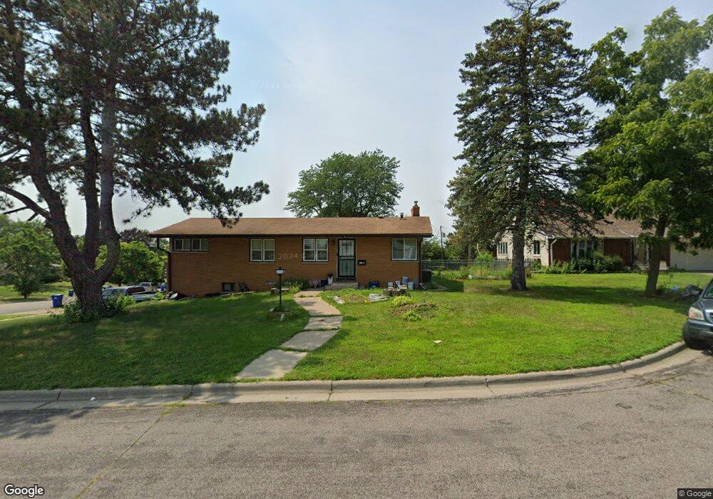
1 Linder Ct Saint Paul, MN 55106
Battle Creek NeighborhoodEstimated Value: $284,000 - $310,000
3
Beds
2
Baths
770
Sq Ft
$384/Sq Ft
Est. Value
About This Home
This home is located at 1 Linder Ct, Saint Paul, MN 55106 and is currently estimated at $295,706, approximately $384 per square foot. 1 Linder Ct is a home located in Ramsey County with nearby schools including Battle Creek Elementary School, Battle Creek Middle School, and Harding Senior High School.
Ownership History
Date
Name
Owned For
Owner Type
Purchase Details
Closed on
Jan 26, 2018
Sold by
Daly Robert C
Bought by
Lor Ka and Moua Linda Lee
Current Estimated Value
Home Financials for this Owner
Home Financials are based on the most recent Mortgage that was taken out on this home.
Original Mortgage
$181,649
Outstanding Balance
$154,339
Interest Rate
4.12%
Mortgage Type
FHA
Estimated Equity
$141,367
Purchase Details
Closed on
Oct 27, 1997
Sold by
Erickson Howard L and Erickson Velma J
Bought by
Daly Robert C
Create a Home Valuation Report for This Property
The Home Valuation Report is an in-depth analysis detailing your home's value as well as a comparison with similar homes in the area
Home Values in the Area
Average Home Value in this Area
Purchase History
| Date | Buyer | Sale Price | Title Company |
|---|---|---|---|
| Lor Ka | $190,606 | Titlesmart Inc | |
| Daly Robert C | $90,000 | -- |
Source: Public Records
Mortgage History
| Date | Status | Borrower | Loan Amount |
|---|---|---|---|
| Open | Lor Ka | $181,649 |
Source: Public Records
Tax History Compared to Growth
Tax History
| Year | Tax Paid | Tax Assessment Tax Assessment Total Assessment is a certain percentage of the fair market value that is determined by local assessors to be the total taxable value of land and additions on the property. | Land | Improvement |
|---|---|---|---|---|
| 2025 | $3,836 | $285,000 | $55,100 | $229,900 |
| 2023 | $3,836 | $256,400 | $30,300 | $226,100 |
| 2022 | $3,410 | $264,400 | $30,300 | $234,100 |
| 2021 | $3,070 | $223,000 | $30,300 | $192,700 |
| 2020 | $2,836 | $209,700 | $30,300 | $179,400 |
| 2019 | $2,672 | $184,100 | $30,300 | $153,800 |
| 2018 | $2,350 | $172,300 | $30,300 | $142,000 |
| 2017 | $2,278 | $151,300 | $30,300 | $121,000 |
| 2016 | $1,934 | $0 | $0 | $0 |
| 2015 | $1,992 | $135,700 | $30,300 | $105,400 |
| 2014 | $1,680 | $0 | $0 | $0 |
Source: Public Records
Map
Nearby Homes
- 1538 Wilson Ave
- 1450 Fremont Ave
- 1600 Old Hudson Rd
- 1489 6th St E
- 1685 Fremont Ave
- 1551 Margaret St
- 1493 Margaret St
- 1443 Pacific St
- 1351 3rd St E
- 1590 Minnehaha Ave E
- 1320 Wilson Ave
- 1303 Fremont Ave
- 267 Hazelwood St
- 1333 Pacific St
- 1356 Beech St
- 1365 Beech St
- 1269 Wilson Ave
- 1675 Minnehaha Ave E
- 1751 Margaret St
- 1683 Minnehaha Ave E
- 1509 Conway St
- 55 Linder Ct
- 3 Linder Ct
- 1505 Conway St
- 1505 1505 Conway-Street-
- 1533 Conway St
- 1526 Conway St
- 5 Linder Ct
- 1532 Conway St
- 4 Linder Ct
- 1538 Conway St
- 1518 Conway St
- 17 Linder Ct
- 17 17 Linder Ct
- 1501 Conway St
- 494 Barclay St
- 1510 1510 Conway-Street-
- 500 Barclay St
- 10 Linder Ct
- 1510 Conway St