1 Mercury Cir Andover, MA 01810
Far West Andover NeighborhoodEstimated Value: $898,044 - $969,000
3
Beds
3
Baths
2,284
Sq Ft
$409/Sq Ft
Est. Value
About This Home
This home is located at 1 Mercury Cir, Andover, MA 01810 and is currently estimated at $934,261, approximately $409 per square foot. 1 Mercury Cir is a home located in Essex County with nearby schools including High Plain Elementary School, Wood Hill Middle School, and Andover High School.
Ownership History
Date
Name
Owned For
Owner Type
Purchase Details
Closed on
Aug 13, 2013
Sold by
Stoica Cristina and Stoica Gheorghe
Bought by
Sheel Shiva and Sheel Asha
Current Estimated Value
Purchase Details
Closed on
Jul 9, 2010
Sold by
Kublin Joseph A and Kublin Sara L
Bought by
Stoica Christina and Stoica Gheorghe
Home Financials for this Owner
Home Financials are based on the most recent Mortgage that was taken out on this home.
Original Mortgage
$426,259
Interest Rate
4.5%
Mortgage Type
FHA
Purchase Details
Closed on
May 1, 1991
Sold by
Deliago Robert
Bought by
Kublin Joseph A
Purchase Details
Closed on
Oct 17, 1988
Sold by
Saliba Norman E
Bought by
Deliago Robert
Create a Home Valuation Report for This Property
The Home Valuation Report is an in-depth analysis detailing your home's value as well as a comparison with similar homes in the area
Home Values in the Area
Average Home Value in this Area
Purchase History
| Date | Buyer | Sale Price | Title Company |
|---|---|---|---|
| Sheel Shiva | -- | -- | |
| Stoica Christina | $432,000 | -- | |
| Kublin Joseph A | $200,000 | -- | |
| Deliago Robert | $220,000 | -- |
Source: Public Records
Mortgage History
| Date | Status | Borrower | Loan Amount |
|---|---|---|---|
| Previous Owner | Stoica Christina | $426,259 | |
| Previous Owner | Deliago Robert | $210,000 | |
| Previous Owner | Deliago Robert | $190,000 | |
| Previous Owner | Deliago Robert | $174,200 |
Source: Public Records
Tax History
| Year | Tax Paid | Tax Assessment Tax Assessment Total Assessment is a certain percentage of the fair market value that is determined by local assessors to be the total taxable value of land and additions on the property. | Land | Improvement |
|---|---|---|---|---|
| 2024 | $9,244 | $717,700 | $465,100 | $252,600 |
| 2023 | $8,917 | $652,800 | $418,800 | $234,000 |
| 2022 | $8,205 | $562,000 | $364,200 | $197,800 |
| 2021 | $7,850 | $513,400 | $331,200 | $182,200 |
| 2020 | $7,528 | $501,500 | $323,200 | $178,300 |
| 2019 | $7,446 | $487,600 | $313,700 | $173,900 |
| 2018 | $7,227 | $462,100 | $301,700 | $160,400 |
| 2017 | $6,904 | $454,800 | $295,700 | $159,100 |
| 2016 | $6,761 | $456,200 | $295,700 | $160,500 |
| 2015 | $6,545 | $437,200 | $284,200 | $153,000 |
Source: Public Records
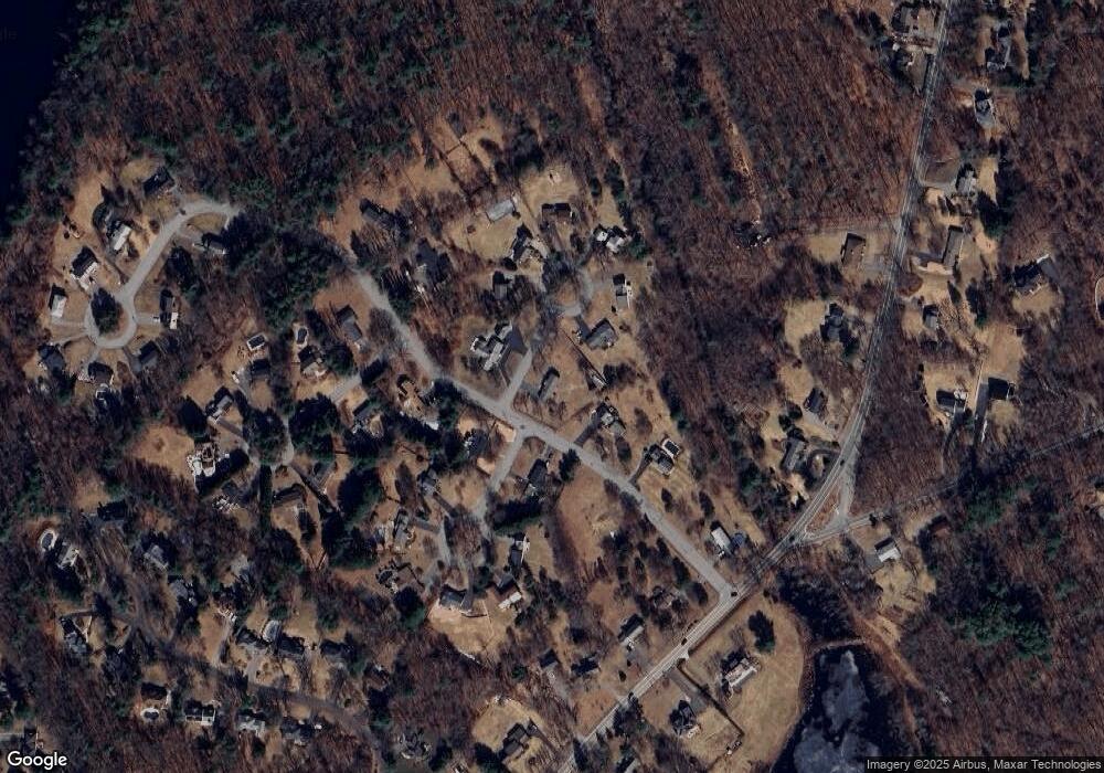
Map
Nearby Homes
- 2 Deerberry Ln
- 2 Greybirch Rd
- 322 River Rd
- 46 Hopkins Cir
- 21 Greybirch Rd
- 18 Ravens Bluff
- 136 Chandler Rd
- 17 Horseshoe Rd
- 29 Stoneybrook Cir
- 2 Boardwalk Dr
- 44 Wilshire Cir
- 71 N Lowell St
- 2 Weeping Willow Dr
- 3 Oxyoke Dr
- 4 Weeping Willow Dr
- 5 Weeping Willow Dr
- 8 Ashford Ln
- 9 Oakland Rd
- 945 Riverside Dr Unit 5B
- 945 Riverside Dr Unit 8A
Your Personal Tour Guide
Ask me questions while you tour the home.