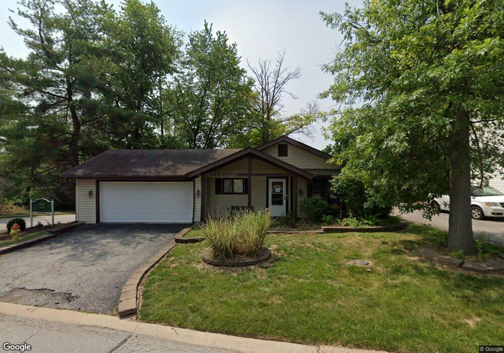
1 Muir St Eureka, MO 63025
Estimated Value: $248,000 - $278,000
2
Beds
2
Baths
1,232
Sq Ft
$212/Sq Ft
Est. Value
About This Home
This home is located at 1 Muir St, Eureka, MO 63025 and is currently estimated at $261,043, approximately $211 per square foot. 1 Muir St is a home located in St. Louis County with nearby schools including Eureka Elementary School, Lasalle Springs Middle School, and Eureka Senior High School.
Ownership History
Date
Name
Owned For
Owner Type
Purchase Details
Closed on
Mar 20, 2014
Sold by
Dildine Casey and Dildine Jeanitta
Bought by
Sousan Heather N
Current Estimated Value
Home Financials for this Owner
Home Financials are based on the most recent Mortgage that was taken out on this home.
Original Mortgage
$119,790
Outstanding Balance
$89,404
Interest Rate
4.25%
Mortgage Type
FHA
Estimated Equity
$171,639
Purchase Details
Closed on
Oct 19, 2009
Sold by
Carter David E and Carter Alan L
Bought by
Dildine Casey and Dildine Jeanitta
Home Financials for this Owner
Home Financials are based on the most recent Mortgage that was taken out on this home.
Original Mortgage
$131,474
Interest Rate
5.14%
Mortgage Type
FHA
Purchase Details
Closed on
Jan 7, 2003
Sold by
Taylor Dale W and Taylor Suann K
Bought by
Carter Betty
Create a Home Valuation Report for This Property
The Home Valuation Report is an in-depth analysis detailing your home's value as well as a comparison with similar homes in the area
Home Values in the Area
Average Home Value in this Area
Purchase History
| Date | Buyer | Sale Price | Title Company |
|---|---|---|---|
| Sousan Heather N | $122,000 | Us Title Main | |
| Dildine Casey | $136,474 | None Available | |
| Carter Betty | $124,000 | -- |
Source: Public Records
Mortgage History
| Date | Status | Borrower | Loan Amount |
|---|---|---|---|
| Open | Sousan Heather N | $119,790 | |
| Previous Owner | Dildine Casey | $131,474 | |
| Closed | Carter Betty | -- |
Source: Public Records
Tax History
| Year | Tax Paid | Tax Assessment Tax Assessment Total Assessment is a certain percentage of the fair market value that is determined by local assessors to be the total taxable value of land and additions on the property. | Land | Improvement |
|---|---|---|---|---|
| 2025 | $2,904 | $41,120 | $15,470 | $25,650 |
| 2024 | $2,904 | $38,900 | $13,550 | $25,350 |
| 2023 | $2,907 | $38,900 | $13,550 | $25,350 |
| 2022 | $2,466 | $30,710 | $13,550 | $17,160 |
| 2021 | $2,448 | $30,710 | $13,550 | $17,160 |
| 2020 | $2,429 | $29,130 | $12,430 | $16,700 |
| 2019 | $2,436 | $29,130 | $12,430 | $16,700 |
| 2018 | $2,124 | $23,960 | $7,680 | $16,280 |
| 2017 | $2,045 | $23,960 | $7,680 | $16,280 |
| 2016 | $1,953 | $21,990 | $5,760 | $16,230 |
Source: Public Records
Map
Nearby Homes
- 15 Rockwood Place Ct
- 160 Hunters Run Ct
- 897 Top Notch Ln
- 3 Leona Ln
- 17114 Elm Trail Dr
- 17134 Elm Trail Dr
- 132 Hunters Green Ln
- 17347 Hilltop Ridge Dr
- 944 Emerald Oaks Ct
- 637 N Virginia Ave
- 4606 Hickory Ridge View Ct
- 17457 Wyman Ridge Dr
- 744 Forby Rd
- 5315 Shawnee View Ct
- 756 Brewster Rd
- 17498 Wyman Ridge Dr
- 125 Towne Square Ct Unit 4E
- 118 Towne Square Ct Unit D4
- 16 Rockwood Forest Glen
- 17513 Wyman Ridge Dr
Your Personal Tour Guide
Ask me questions while you tour the home.