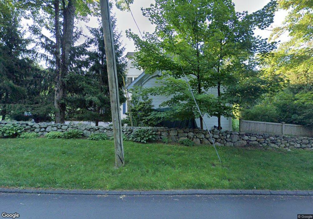
1 Norfield Rd Weston, CT 06883
Estimated Value: $1,697,000 - $1,878,000
4
Beds
6
Baths
4,707
Sq Ft
$388/Sq Ft
Est. Value
About This Home
This home is located at 1 Norfield Rd, Weston, CT 06883 and is currently estimated at $1,826,760, approximately $388 per square foot. 1 Norfield Rd is a home located in Fairfield County with nearby schools including Hurlbutt Elementary School, Weston Intermediate School, and Weston Middle School.
Ownership History
Date
Name
Owned For
Owner Type
Purchase Details
Closed on
Jun 28, 2010
Sold by
Gardeners Cottage Llc
Bought by
Balotescu Christian and Balotescu Christina
Current Estimated Value
Home Financials for this Owner
Home Financials are based on the most recent Mortgage that was taken out on this home.
Original Mortgage
$729,000
Outstanding Balance
$490,685
Interest Rate
4.98%
Estimated Equity
$1,336,075
Purchase Details
Closed on
Sep 19, 2005
Sold by
Major W Glenn
Bought by
Schmerzler Barbara
Create a Home Valuation Report for This Property
The Home Valuation Report is an in-depth analysis detailing your home's value as well as a comparison with similar homes in the area
Home Values in the Area
Average Home Value in this Area
Purchase History
| Date | Buyer | Sale Price | Title Company |
|---|---|---|---|
| Balotescu Christian | $1,060,000 | -- | |
| Schmerzler Barbara | $550,000 | -- |
Source: Public Records
Mortgage History
| Date | Status | Borrower | Loan Amount |
|---|---|---|---|
| Open | Schmerzler Barbara | $200,000 | |
| Open | Schmerzler Barbara | $417,000 | |
| Closed | Schmerzler Barbara | $417,000 | |
| Open | Schmerzler Barbara | $729,000 |
Source: Public Records
Tax History Compared to Growth
Tax History
| Year | Tax Paid | Tax Assessment Tax Assessment Total Assessment is a certain percentage of the fair market value that is determined by local assessors to be the total taxable value of land and additions on the property. | Land | Improvement |
|---|---|---|---|---|
| 2025 | $24,041 | $1,005,900 | $195,790 | $810,110 |
| 2024 | $23,608 | $1,005,900 | $195,790 | $810,110 |
| 2023 | $21,783 | $658,900 | $195,790 | $463,110 |
| 2022 | $21,724 | $658,900 | $195,790 | $463,110 |
| 2021 | $21,691 | $658,900 | $195,790 | $463,110 |
| 2020 | $21,329 | $658,900 | $195,790 | $463,110 |
| 2019 | $21,329 | $658,900 | $195,790 | $463,110 |
| 2018 | $20,705 | $704,500 | $188,700 | $515,800 |
| 2017 | $20,367 | $704,500 | $188,700 | $515,800 |
| 2016 | $20,121 | $704,500 | $188,700 | $515,800 |
| 2015 | $20,261 | $704,500 | $188,700 | $515,800 |
| 2014 | $19,895 | $704,500 | $188,700 | $515,800 |
Source: Public Records
Map
Nearby Homes
- 76 Sturges Ridge Rd
- 81 Norfield Rd
- 8 Hedgerow Common
- 41 Calvin Rd
- 55 Liberty St
- 30 Coley Rd
- 185 Sturges Ridge Rd
- 32 Kettle Creek Rd
- 93 E Meadow Rd
- 110 Dudley Rd
- 335 Georgetown Rd
- 4 Good Hill Rd
- 193 Newtown Turnpike
- 326 Georgetown Rd
- 29 Salem Rd
- 214 Good Hill Rd
- 10 Wilton Hunt Rd
- 225 Good Hill Rd
- 4 Trails End Rd
- 17 Huckleberry Ln
- 17 Newtown Turnpike
- 15 Newtown Turnpike
- 2 Norfield Rd
- 1Newtown Turnpike Unit Studio
- 1Newtown Turnpike
- 161 Cedar Rd
- 44 Newtown Turnpike
- 5 Norfield Rd
- 4 Norfield Rd
- 457 Newtown Turnpike
- 51 Newtown Turnpike
- 150 Cedar Rd
- 453 Newtown Turnpike Unit 455
- 146 Cedar Rd
- 54 Newtown Turnpike
- 54 Newtown Turnpike
- 139 Cedar Rd
- 25 Newtown Turnpike
- 16 Wampum Hill Rd
- 455 Newtown Turnpike