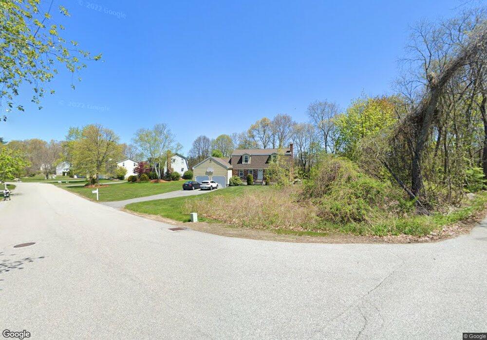
1 Quail Run Andover, MA 01810
Far West Andover NeighborhoodEstimated Value: $784,135 - $1,109,000
3
Beds
2
Baths
1,685
Sq Ft
$572/Sq Ft
Est. Value
About This Home
This home is located at 1 Quail Run, Andover, MA 01810 and is currently estimated at $963,284, approximately $571 per square foot. 1 Quail Run is a home located in Essex County with nearby schools including High Plain Elementary School, Wood Hill Middle School, and Willow River Secondary School.
Ownership History
Date
Name
Owned For
Owner Type
Purchase Details
Closed on
Mar 27, 1981
Bought by
Maloney Richard and Maloney Joanne
Current Estimated Value
Create a Home Valuation Report for This Property
The Home Valuation Report is an in-depth analysis detailing your home's value as well as a comparison with similar homes in the area
Home Values in the Area
Average Home Value in this Area
Purchase History
| Date | Buyer | Sale Price | Title Company |
|---|---|---|---|
| Maloney Richard | $79,900 | -- |
Source: Public Records
Mortgage History
| Date | Status | Borrower | Loan Amount |
|---|---|---|---|
| Open | Maloney Richard | $60,000 | |
| Closed | Maloney Richard | $235,000 | |
| Closed | Maloney Richard | $155,000 |
Source: Public Records
Tax History Compared to Growth
Tax History
| Year | Tax Paid | Tax Assessment Tax Assessment Total Assessment is a certain percentage of the fair market value that is determined by local assessors to be the total taxable value of land and additions on the property. | Land | Improvement |
|---|---|---|---|---|
| 2024 | $9,871 | $766,400 | $452,200 | $314,200 |
| 2023 | $9,186 | $672,500 | $386,800 | $285,700 |
| 2022 | $8,830 | $604,800 | $348,700 | $256,100 |
| 2021 | $8,471 | $554,000 | $317,300 | $236,700 |
| 2020 | $8,266 | $550,700 | $317,300 | $233,400 |
| 2019 | $8,357 | $547,300 | $317,300 | $230,000 |
| 2018 | $8,153 | $521,300 | $308,200 | $213,100 |
| 2017 | $7,815 | $514,800 | $301,900 | $212,900 |
| 2016 | $7,653 | $516,400 | $301,900 | $214,500 |
| 2015 | $7,566 | $505,400 | $301,900 | $203,500 |
Source: Public Records
Map
Nearby Homes
- 2 Francis Dr Unit 412
- 4 Francis Dr Unit 105
- 2 Francis Dr Unit 213
- 4 Francis Dr Unit 207
- 78 Deering Dr
- 1563 Andover St Unit 18
- 995 North St
- 821 Merrimack Ave
- 14 Mount Pleasant Ave
- 31 Varnum Ave
- 51 Bellevue Ave
- 2 Nollet Dr
- 470 Trull Rd
- 322 River Rd
- 78 Merrimack Meadows Ln Unit 78
- 11 Merrimack Meadows Ln Unit 17
- 173 Merrimack Meadows Ln Unit 162
- 820 Methuen St Unit 820
- 16 Wetherbee Ave
- 127 Thornton Ave