1 Rolling Green Ln Unit 121 Mashpee, MA 02649
Estimated Value: $512,000 - $550,000
2
Beds
2
Baths
1,333
Sq Ft
$398/Sq Ft
Est. Value
About This Home
This home is located at 1 Rolling Green Ln Unit 121, Mashpee, MA 02649 and is currently estimated at $530,522, approximately $397 per square foot. 1 Rolling Green Ln Unit 121 is a home located in Barnstable County with nearby schools including Kenneth C. Coombs School, Quashnet School, and Mashpee Middle School.
Ownership History
Date
Name
Owned For
Owner Type
Purchase Details
Closed on
Mar 2, 2022
Sold by
Pender Rt and Pender
Bought by
Costello Anne M
Current Estimated Value
Home Financials for this Owner
Home Financials are based on the most recent Mortgage that was taken out on this home.
Original Mortgage
$200,000
Outstanding Balance
$185,680
Interest Rate
3.69%
Mortgage Type
Purchase Money Mortgage
Estimated Equity
$344,842
Purchase Details
Closed on
Oct 29, 2019
Sold by
Pender James J and Pender Virginia M
Bought by
Pender Rt
Purchase Details
Closed on
May 17, 2012
Sold by
Bigelow Kayo F
Bought by
Bigelow Hugh W
Create a Home Valuation Report for This Property
The Home Valuation Report is an in-depth analysis detailing your home's value as well as a comparison with similar homes in the area
Home Values in the Area
Average Home Value in this Area
Purchase History
| Date | Buyer | Sale Price | Title Company |
|---|---|---|---|
| Costello Anne M | $450,000 | None Available | |
| Pender Rt | -- | -- | |
| Bigelow Hugh W | -- | -- | |
| Bigelow Hugh W | -- | -- |
Source: Public Records
Mortgage History
| Date | Status | Borrower | Loan Amount |
|---|---|---|---|
| Open | Costello Anne M | $200,000 |
Source: Public Records
Tax History Compared to Growth
Tax History
| Year | Tax Paid | Tax Assessment Tax Assessment Total Assessment is a certain percentage of the fair market value that is determined by local assessors to be the total taxable value of land and additions on the property. | Land | Improvement |
|---|---|---|---|---|
| 2025 | $3,196 | $482,800 | $0 | $482,800 |
| 2024 | $3,083 | $479,400 | $0 | $479,400 |
| 2023 | $2,980 | $425,100 | $0 | $425,100 |
| 2022 | $2,939 | $359,700 | $0 | $359,700 |
| 2021 | $3,113 | $343,200 | $0 | $343,200 |
| 2020 | $3,045 | $335,000 | $0 | $335,000 |
| 2019 | $2,918 | $322,400 | $0 | $322,400 |
| 2018 | $2,694 | $302,000 | $0 | $302,000 |
| 2017 | $2,696 | $293,400 | $0 | $293,400 |
| 2016 | $2,608 | $282,300 | $0 | $282,300 |
| 2015 | $2,306 | $253,100 | $0 | $253,100 |
| 2014 | $2,410 | $256,700 | $0 | $256,700 |
Source: Public Records
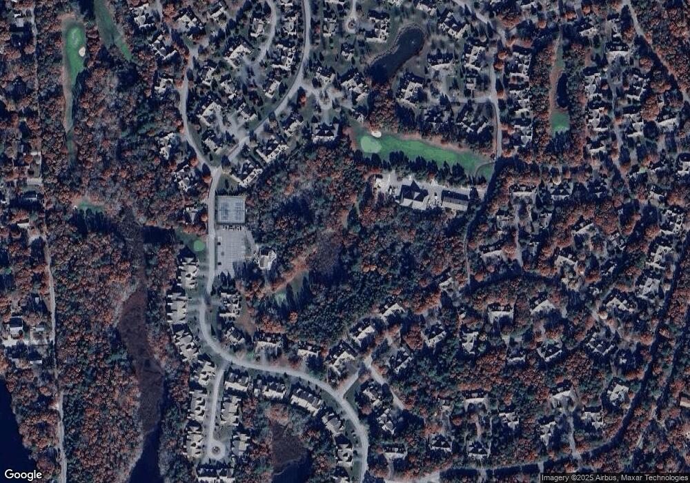
Map
Nearby Homes
- 37 Pine Hill Blvd Unit 30
- 37 Pine Hill Blvd
- 1 Upland Cir
- 1 Upland Cir Unit 1
- 17 Chadwick Ct Unit 17
- 17 Chadwick Ct
- 23 Sea Spray Ave Unit 563
- 23 Sea Spray Ave
- 5 Friendship Ct
- 5 Friendship Ct Unit 89
- 22 Grey Hawk Dr
- 160 Algonquin Ave
- 152 Algonquin Ave
- 44 Twin Oaks Dr Unit 44
- 44 Twin Oaks Dr
- 15 Pebble Beach Ave Unit 2005-103
- 15 Pebble Beach Ave
- 6 Masters Ct
- 18 Executive Dr Unit 18
- 18 Executive Dr
- 2 Rolling Green Ln
- 1 Rolling Green Ln
- 2 Rolling Green Ln Unit 122
- 6 Rolling Green Ln
- 6 Rolling Green Ln Unit 126
- 4 Rolling Green Ln Unit 124
- 3 Rolling Green Ln Unit 123
- 5 Rolling Green Ln
- 4 Rolling Green Ln
- 3 Rolling Green Ln
- 4 Rolling Green Ln Unit 4
- 5 Portside Dr
- 7 Portside Dr
- 9 Portside Dr
- 11 Portside Dr
- 11 Portside Dr Unit 117
- 4 Portside Dr Unit 158
- 2 Portside Dr
- 4 Portside Dr
- 6 Portside Dr