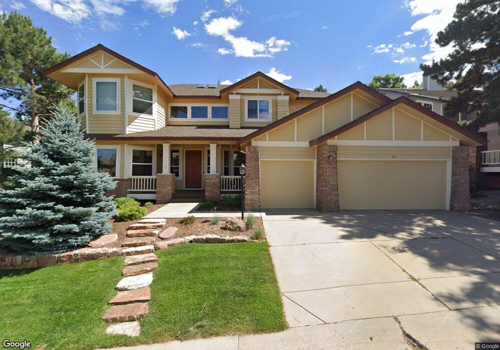
10 Amaranth Dr Littleton, CO 80127
Ken Caryl Ranch NeighborhoodEstimated Value: $1,403,796 - $1,550,000
5
Beds
3
Baths
5,244
Sq Ft
$285/Sq Ft
Est. Value
About This Home
This home is located at 10 Amaranth Dr, Littleton, CO 80127 and is currently estimated at $1,494,449, approximately $284 per square foot. 10 Amaranth Dr is a home located in Jefferson County with nearby schools including Bradford K8 South, Bradford K8 North, and Chatfield High School.
Ownership History
Date
Name
Owned For
Owner Type
Purchase Details
Closed on
Aug 28, 2008
Sold by
Flaniken Steven D and Flaniken Jan M
Bought by
Flood Patrick C
Current Estimated Value
Home Financials for this Owner
Home Financials are based on the most recent Mortgage that was taken out on this home.
Original Mortgage
$417,000
Outstanding Balance
$279,214
Interest Rate
6.66%
Mortgage Type
Purchase Money Mortgage
Estimated Equity
$1,215,235
Purchase Details
Closed on
Jun 19, 2000
Sold by
Mcdaniel Bruce A Mc Daniel Laura L
Bought by
Flaniken Steven D and Flaniken Jan M
Home Financials for this Owner
Home Financials are based on the most recent Mortgage that was taken out on this home.
Original Mortgage
$392,400
Interest Rate
7.87%
Create a Home Valuation Report for This Property
The Home Valuation Report is an in-depth analysis detailing your home's value as well as a comparison with similar homes in the area
Home Values in the Area
Average Home Value in this Area
Purchase History
| Date | Buyer | Sale Price | Title Company |
|---|---|---|---|
| Flood Patrick C | $632,000 | Land Title Guarantee Company | |
| Flaniken Steven D | $490,500 | -- |
Source: Public Records
Mortgage History
| Date | Status | Borrower | Loan Amount |
|---|---|---|---|
| Open | Flood Patrick C | $417,000 | |
| Previous Owner | Flaniken Steven D | $392,400 |
Source: Public Records
Tax History Compared to Growth
Tax History
| Year | Tax Paid | Tax Assessment Tax Assessment Total Assessment is a certain percentage of the fair market value that is determined by local assessors to be the total taxable value of land and additions on the property. | Land | Improvement |
|---|---|---|---|---|
| 2024 | $8,331 | $77,818 | $17,182 | $60,636 |
| 2023 | $8,331 | $77,818 | $17,182 | $60,636 |
| 2022 | $7,008 | $64,018 | $18,091 | $45,927 |
| 2021 | $7,115 | $65,859 | $18,611 | $47,248 |
| 2020 | $6,197 | $57,543 | $13,015 | $44,528 |
| 2019 | $6,123 | $57,543 | $13,015 | $44,528 |
| 2018 | $5,765 | $52,320 | $11,972 | $40,348 |
| 2017 | $5,361 | $52,320 | $11,972 | $40,348 |
| 2016 | $5,567 | $51,414 | $13,954 | $37,460 |
| 2015 | $5,170 | $51,414 | $13,954 | $37,460 |
| 2014 | $5,170 | $44,998 | $8,995 | $36,003 |
Source: Public Records
Map
Nearby Homes
- 4 Oakmont Ln
- 29 Desert Willow Ln
- 7 Red Fox Ln
- 6 Blue Grouse Ridge Rd
- 7326 S Yank Ct
- Stonehaven Plan at Ken-Caryl Ranch - The Monarch Collection
- Ashbrook Plan at Ken-Caryl Ranch - The Monarch Collection
- Chelton Plan at Ken-Caryl Ranch - The Monarch Collection
- Springdale Plan at Ken-Caryl Ranch - The Monarch Collection
- 12767 W Geddes Dr
- 12757 W Geddes Dr
- 12728 W Geddes Dr
- 7195 S Youngfield Way
- 12769 W Glasgow Place
- 7125 S Youngfield Way
- 12750 W Glasgow Place
- 12737 W Geddes Dr
- 12708 W Geddes Dr
- 12727 W Geddes Dr
- 12698 W Geddes Dr