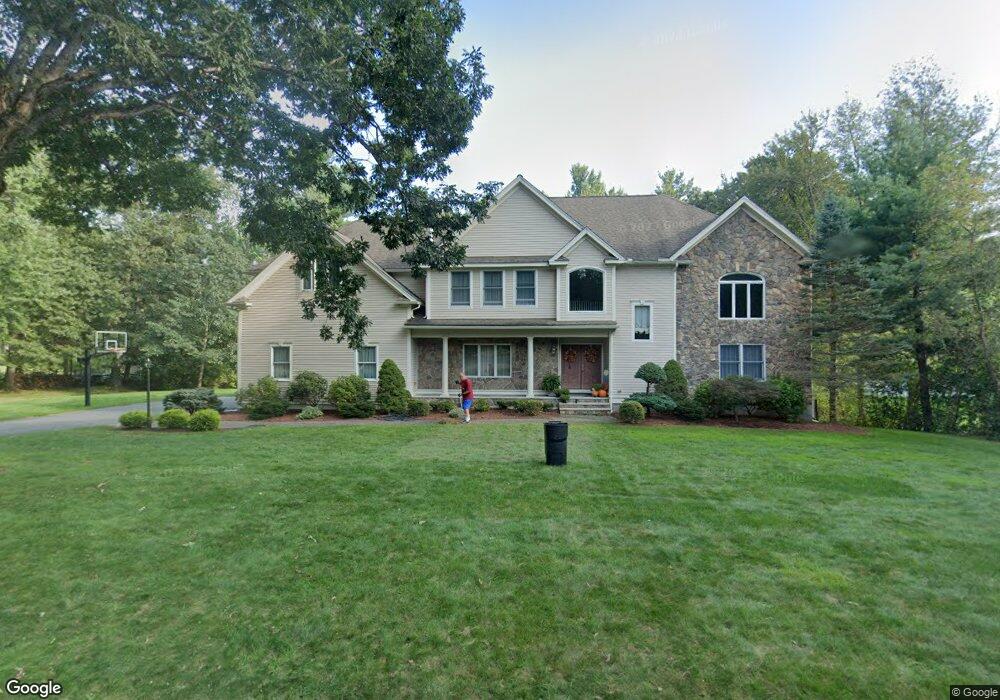
10 Bridle Path Rd Andover, MA 01810
West Andover NeighborhoodEstimated Value: $1,404,000 - $1,477,000
4
Beds
3
Baths
4,348
Sq Ft
$330/Sq Ft
Est. Value
About This Home
This home is located at 10 Bridle Path Rd, Andover, MA 01810 and is currently estimated at $1,433,797, approximately $329 per square foot. 10 Bridle Path Rd is a home located in Essex County with nearby schools including Henry C. Sanborn Elementary School, Andover West Middle School, and Andover High School.
Ownership History
Date
Name
Owned For
Owner Type
Purchase Details
Closed on
Oct 15, 2003
Sold by
Elaine Perouz Rt
Bought by
Bramanti Linda M and Bramanti Robert M
Current Estimated Value
Home Financials for this Owner
Home Financials are based on the most recent Mortgage that was taken out on this home.
Original Mortgage
$322,700
Outstanding Balance
$152,860
Interest Rate
6.43%
Mortgage Type
Purchase Money Mortgage
Estimated Equity
$1,280,937
Create a Home Valuation Report for This Property
The Home Valuation Report is an in-depth analysis detailing your home's value as well as a comparison with similar homes in the area
Home Values in the Area
Average Home Value in this Area
Purchase History
| Date | Buyer | Sale Price | Title Company |
|---|---|---|---|
| Bramanti Linda M | $525,000 | -- |
Source: Public Records
Mortgage History
| Date | Status | Borrower | Loan Amount |
|---|---|---|---|
| Open | Bramanti Linda M | $322,700 |
Source: Public Records
Tax History
| Year | Tax Paid | Tax Assessment Tax Assessment Total Assessment is a certain percentage of the fair market value that is determined by local assessors to be the total taxable value of land and additions on the property. | Land | Improvement |
|---|---|---|---|---|
| 2024 | $14,970 | $1,162,300 | $528,700 | $633,600 |
| 2023 | $14,307 | $1,047,400 | $476,100 | $571,300 |
| 2022 | $13,467 | $922,400 | $414,200 | $508,200 |
| 2021 | $12,888 | $842,900 | $376,500 | $466,400 |
| 2020 | $12,410 | $826,800 | $367,500 | $459,300 |
| 2019 | $12,042 | $788,600 | $335,700 | $452,900 |
| 2018 | $11,600 | $741,700 | $322,800 | $418,900 |
| 2017 | $11,150 | $734,500 | $316,500 | $418,000 |
| 2016 | $10,925 | $737,200 | $316,500 | $420,700 |
| 2015 | $10,528 | $703,300 | $304,300 | $399,000 |
Source: Public Records
Map
Nearby Homes
- 4 Hazelwood Cir
- 11 Rennie Dr
- 72 Tewksbury St
- 18 Dale St Unit 9D
- 58 Blanchard St
- 8 Stouffer Cir
- 14 Geneva Rd
- 15 Geneva Rd
- 241 Lowell St Unit 3
- 22 Haggetts Pond Rd
- 13 Taylor Cove Dr Unit 31
- 16 Rockingham Dr Unit 131
- 105 Central St
- 54 Birch Rd
- 3 West Hollow
- 6 Anthony Rd
- 3 Torr St
- 37 Crenshaw Ln Unit 37
- 31 Porter Rd
- 4 Hammond Way
- 12 Bridle Path Rd
- 8 Bridle Path Rd
- 3 Tally Ho Ln
- 14 Bridle Path Rd
- 2 Landau Ln
- 5 Tally Ho Ln
- 1 Landau Ln
- 6 Bridle Path Rd
- 16 Bridle Path Rd
- 5 Bridle Path Rd
- 15 David Dr
- 4 Landau Ln
- 7 Tally Ho Ln
- 4 Tally Ho Ln
- 18 Bridle Path Rd
- 13 Bridle Path Rd
- 11 David Dr
- 4 Phaeton Cir
- 12 David Dr
- 15 Bridle Path Rd
Your Personal Tour Guide
Ask me questions while you tour the home.