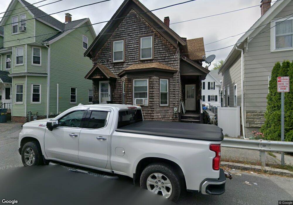
10 Burnham St Gloucester, MA 01930
Central Gloucester NeighborhoodEstimated Value: $489,000 - $556,000
3
Beds
1
Bath
1,200
Sq Ft
$435/Sq Ft
Est. Value
About This Home
This home is located at 10 Burnham St, Gloucester, MA 01930 and is currently estimated at $522,235, approximately $435 per square foot. 10 Burnham St is a home located in Essex County with nearby schools including East Veterans Memorial Elementary, Ralph B O'maley Middle School, and Gloucester High School.
Create a Home Valuation Report for This Property
The Home Valuation Report is an in-depth analysis detailing your home's value as well as a comparison with similar homes in the area
Home Values in the Area
Average Home Value in this Area
Tax History
| Year | Tax Paid | Tax Assessment Tax Assessment Total Assessment is a certain percentage of the fair market value that is determined by local assessors to be the total taxable value of land and additions on the property. | Land | Improvement |
|---|---|---|---|---|
| 2025 | $3,829 | $393,900 | $117,300 | $276,600 |
| 2024 | $3,778 | $388,300 | $111,700 | $276,600 |
| 2023 | $3,464 | $327,100 | $99,800 | $227,300 |
| 2022 | $3,449 | $294,000 | $86,800 | $207,200 |
| 2021 | $3,411 | $274,200 | $78,900 | $195,300 |
| 2020 | $3,332 | $270,200 | $78,900 | $191,300 |
| 2019 | $3,043 | $239,800 | $78,900 | $160,900 |
| 2018 | $2,881 | $222,800 | $78,900 | $143,900 |
| 2017 | $2,701 | $204,800 | $71,000 | $133,800 |
| 2016 | $2,504 | $184,000 | $71,000 | $113,000 |
| 2015 | $2,400 | $175,800 | $71,000 | $104,800 |
Source: Public Records
Map
Nearby Homes
- 50 Warner St
- 113 Pleasant St
- 33 Maplewood Ave Unit 310
- 40 Sargent St
- 19 Trask St Unit 2
- 12 Arthur St
- 9 Cleveland Place
- 139A Prospect St
- 98 Maplewood Ave
- 191 Main St Unit 3
- 191 Main St Unit 2A
- 120 Washington St
- 8 Mystic Ave
- 13 Mystic Ave
- 35 Middle St Unit 4
- 33 Middle St
- 20 Beacon St
- 20 Beacon St Unit 2
- 20 Beacon St Unit 1
- 6 Monroe Ct
Your Personal Tour Guide
Ask me questions while you tour the home.