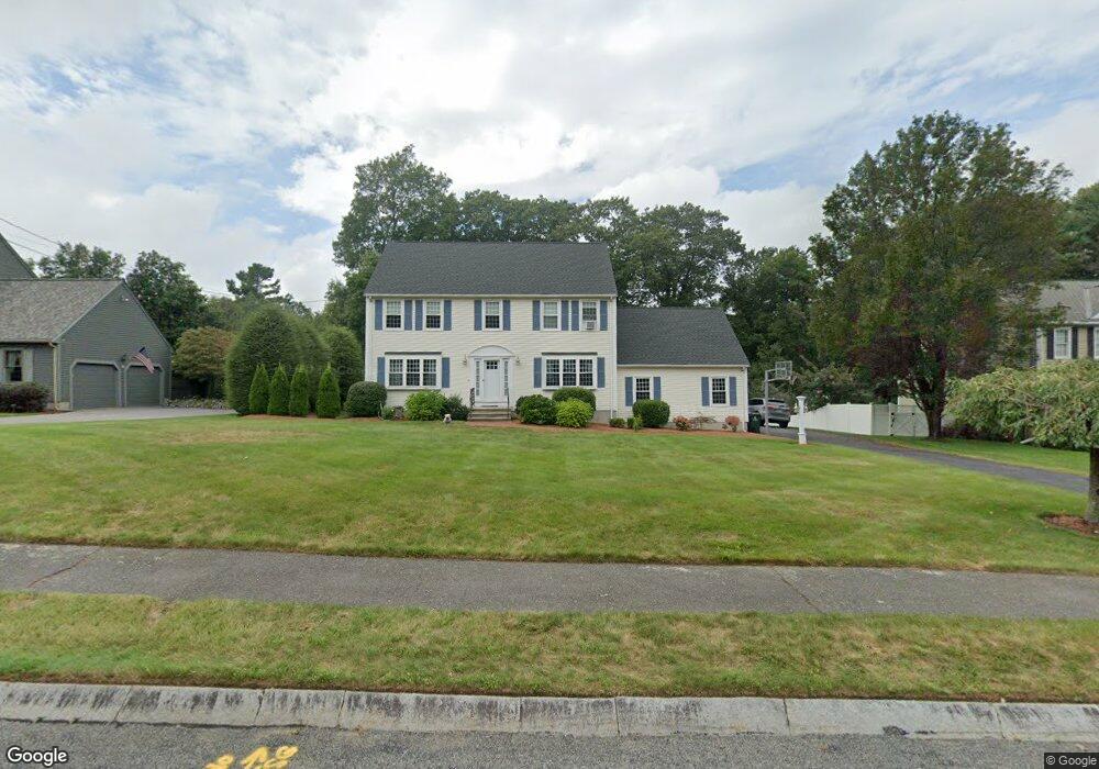
10 King Philip Rd Franklin, MA 02038
Estimated Value: $807,981 - $973,000
3
Beds
3
Baths
1,976
Sq Ft
$439/Sq Ft
Est. Value
About This Home
This home is located at 10 King Philip Rd, Franklin, MA 02038 and is currently estimated at $867,245, approximately $438 per square foot. 10 King Philip Rd is a home located in Norfolk County with nearby schools including Remington Middle School, Franklin High School, and Benjamin Franklin Classical Charter Public School.
Ownership History
Date
Name
Owned For
Owner Type
Purchase Details
Closed on
Aug 20, 2004
Sold by
Hesse Cheryl A and Hesse John J
Bought by
Pauplis Greg A and Pauplis Susan M
Current Estimated Value
Home Financials for this Owner
Home Financials are based on the most recent Mortgage that was taken out on this home.
Original Mortgage
$384,000
Outstanding Balance
$190,800
Interest Rate
6.03%
Mortgage Type
Purchase Money Mortgage
Estimated Equity
$676,445
Purchase Details
Closed on
Jun 30, 1994
Sold by
Adams Bldg Corp
Bought by
Hesse John J and Hesse Cheryl A
Home Financials for this Owner
Home Financials are based on the most recent Mortgage that was taken out on this home.
Original Mortgage
$100,000
Interest Rate
8.55%
Mortgage Type
Purchase Money Mortgage
Create a Home Valuation Report for This Property
The Home Valuation Report is an in-depth analysis detailing your home's value as well as a comparison with similar homes in the area
Home Values in the Area
Average Home Value in this Area
Purchase History
| Date | Buyer | Sale Price | Title Company |
|---|---|---|---|
| Pauplis Greg A | $480,000 | -- | |
| Hesse John J | $205,319 | -- |
Source: Public Records
Mortgage History
| Date | Status | Borrower | Loan Amount |
|---|---|---|---|
| Open | Pauplis Greg A | $384,000 | |
| Closed | Pauplis Greg A | $72,000 | |
| Previous Owner | Hesse John J | $100,000 |
Source: Public Records
Tax History Compared to Growth
Tax History
| Year | Tax Paid | Tax Assessment Tax Assessment Total Assessment is a certain percentage of the fair market value that is determined by local assessors to be the total taxable value of land and additions on the property. | Land | Improvement |
|---|---|---|---|---|
| 2025 | $8,549 | $735,700 | $360,800 | $374,900 |
| 2024 | $8,674 | $735,700 | $360,800 | $374,900 |
| 2023 | $8,499 | $675,600 | $334,800 | $340,800 |
| 2022 | $8,295 | $590,400 | $288,700 | $301,700 |
| 2021 | $7,962 | $543,500 | $277,000 | $266,500 |
| 2020 | $7,745 | $533,800 | $279,800 | $254,000 |
| 2019 | $7,780 | $530,700 | $277,000 | $253,700 |
| 2018 | $7,365 | $502,700 | $274,100 | $228,600 |
| 2017 | $7,453 | $511,200 | $282,600 | $228,600 |
| 2016 | $6,798 | $468,800 | $244,400 | $224,400 |
| 2015 | $6,828 | $460,100 | $235,700 | $224,400 |
| 2014 | $6,368 | $440,700 | $216,300 | $224,400 |
Source: Public Records
Map
Nearby Homes
- 11 Elliot Mills Unit 11
- 12 Waites Crossing Way
- 324 Pleasant St
- 67 Milliken Ave Unit 22
- 266 Pleasant St
- 1 Uncas Ave
- 11 Waites Crossing
- 20 Waites Crossing
- 19 Waites Crossing
- 9 Waites Crossing
- 13 Waites Crossing
- 159 E Central St
- 64 Uncas Ave
- 70 Uncas Ave
- 50 Reed Fulton Ave Unit Lot 61
- 82 Uncas Ave Unit 1
- 40 Cross St
- 90 E Central St Unit 103
- 90 E Central St Unit 106
- 90 E Central St Unit 304