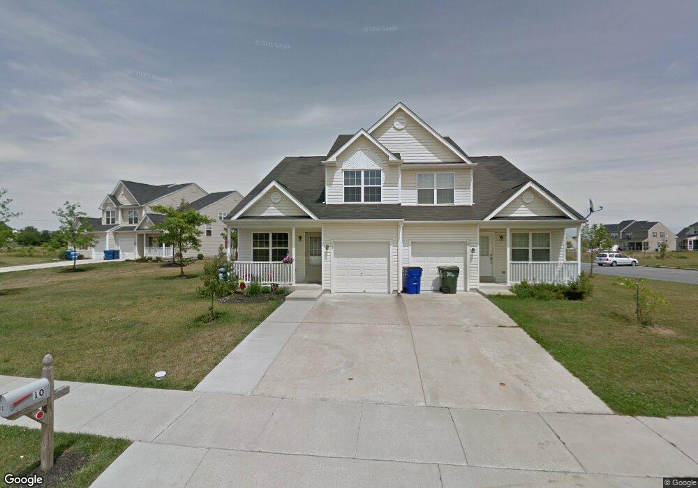
10 Kintyre Ct Townsend, DE 19734
Estimated Value: $359,000 - $407,000
3
Beds
3
Baths
1,759
Sq Ft
$219/Sq Ft
Est. Value
About This Home
This home is located at 10 Kintyre Ct, Townsend, DE 19734 and is currently estimated at $385,325, approximately $219 per square foot. 10 Kintyre Ct is a home located in New Castle County with nearby schools including Old State Elementary School, Cantwell's Bridge Middle School, and Odessa High School.
Ownership History
Date
Name
Owned For
Owner Type
Purchase Details
Closed on
Sep 26, 2008
Sold by
Robino Wynnefield Ii Llc
Bought by
Roop Robert
Current Estimated Value
Home Financials for this Owner
Home Financials are based on the most recent Mortgage that was taken out on this home.
Original Mortgage
$249,336
Outstanding Balance
$166,676
Interest Rate
6.54%
Mortgage Type
FHA
Estimated Equity
$218,649
Purchase Details
Closed on
May 18, 2005
Sold by
Odessa National Development Co Llc
Bought by
Robino Wynnefield Ii Llc
Purchase Details
Closed on
Nov 27, 2001
Sold by
Atkinson Farm Inc
Bought by
Odessa National Development Company Llc
Create a Home Valuation Report for This Property
The Home Valuation Report is an in-depth analysis detailing your home's value as well as a comparison with similar homes in the area
Home Values in the Area
Average Home Value in this Area
Purchase History
| Date | Buyer | Sale Price | Title Company |
|---|---|---|---|
| Roop Robert | $251,927 | None Available | |
| Robino Wynnefield Ii Llc | $1,806,960 | -- | |
| Odessa National Development Company Llc | $1,618,500 | -- |
Source: Public Records
Mortgage History
| Date | Status | Borrower | Loan Amount |
|---|---|---|---|
| Open | Roop Robert | $249,336 | |
| Closed | Robino Wynnefield Ii Llc | $0 |
Source: Public Records
Tax History
| Year | Tax Paid | Tax Assessment Tax Assessment Total Assessment is a certain percentage of the fair market value that is determined by local assessors to be the total taxable value of land and additions on the property. | Land | Improvement |
|---|---|---|---|---|
| 2024 | $3,470 | $80,300 | $10,400 | $69,900 |
| 2023 | $2,966 | $80,300 | $10,400 | $69,900 |
| 2022 | $2,971 | $80,300 | $10,400 | $69,900 |
| 2021 | $2,933 | $80,300 | $10,400 | $69,900 |
| 2020 | $2,893 | $80,300 | $10,400 | $69,900 |
| 2019 | $3,053 | $80,300 | $10,400 | $69,900 |
| 2018 | $2,596 | $80,300 | $10,400 | $69,900 |
| 2017 | $2,490 | $80,300 | $10,400 | $69,900 |
| 2016 | $2,269 | $80,300 | $10,400 | $69,900 |
| 2015 | $2,211 | $80,300 | $10,400 | $69,900 |
| 2014 | $2,209 | $80,300 | $10,400 | $69,900 |
Source: Public Records
Map
Nearby Homes
- 220 Avonbridge Dr
- 231 Camerton Ln
- 633 Southerness Dr
- 286 Camerton Ln
- 125 Tweedsmere Dr
- 407 Caledonia Way
- 1005 Bilboa Ct
- 1038 Fieldsboro Rd
- 1308 Gibraltar Ct
- 212 Case Rd
- 208 Case Rd
- 206 Case Rd
- 202 Case Rd
- 413 Janets Way
- 203 Case Rd
- 199 Case Rd
- 195 Case Rd
- 929 Robinson Rd
- 1071 Robinson Rd Unit DELRAY PLAN
- 1069 Robinson Rd Unit PEMBROOK PLAN
Your Personal Tour Guide
Ask me questions while you tour the home.