10 Lower Waldron Rd Meredith, NH 03253
Estimated Value: $799,406 - $1,442,000
3
Beds
3
Baths
1,823
Sq Ft
$556/Sq Ft
Est. Value
About This Home
This home is located at 10 Lower Waldron Rd, Meredith, NH 03253 and is currently estimated at $1,012,852, approximately $555 per square foot. 10 Lower Waldron Rd is a home located in Belknap County with nearby schools including Inter-Lakes Elementary School, Lakeland School, and Laconia Christian Academy.
Ownership History
Date
Name
Owned For
Owner Type
Purchase Details
Closed on
Sep 19, 2001
Sold by
Citron Alan and Citron Gail
Bought by
Sir Walter Dev Llc
Current Estimated Value
Home Financials for this Owner
Home Financials are based on the most recent Mortgage that was taken out on this home.
Original Mortgage
$30,000
Outstanding Balance
$11,690
Interest Rate
6.98%
Mortgage Type
Purchase Money Mortgage
Estimated Equity
$1,001,162
Create a Home Valuation Report for This Property
The Home Valuation Report is an in-depth analysis detailing your home's value as well as a comparison with similar homes in the area
Home Values in the Area
Average Home Value in this Area
Purchase History
| Date | Buyer | Sale Price | Title Company |
|---|---|---|---|
| Sir Walter Dev Llc | $99,900 | -- | |
| Sir Walter Dev Llc | $99,900 | -- |
Source: Public Records
Mortgage History
| Date | Status | Borrower | Loan Amount |
|---|---|---|---|
| Open | Sir Walter Dev Llc | $30,000 | |
| Closed | Sir Walter Dev Llc | $30,000 |
Source: Public Records
Tax History Compared to Growth
Tax History
| Year | Tax Paid | Tax Assessment Tax Assessment Total Assessment is a certain percentage of the fair market value that is determined by local assessors to be the total taxable value of land and additions on the property. | Land | Improvement |
|---|---|---|---|---|
| 2024 | $7,827 | $762,900 | $384,500 | $378,400 |
| 2023 | $7,545 | $762,900 | $384,500 | $378,400 |
| 2022 | $6,767 | $484,400 | $199,100 | $285,300 |
| 2021 | $6,505 | $484,400 | $199,100 | $285,300 |
| 2020 | $6,791 | $484,400 | $199,100 | $285,300 |
| 2019 | $6,574 | $413,700 | $161,100 | $252,600 |
| 2018 | $6,462 | $413,700 | $161,100 | $252,600 |
| 2016 | $6,072 | $389,500 | $146,900 | $242,600 |
| 2015 | $5,920 | $389,500 | $146,900 | $242,600 |
| 2014 | $5,776 | $389,500 | $146,900 | $242,600 |
| 2013 | $5,613 | $389,500 | $146,900 | $242,600 |
Source: Public Records
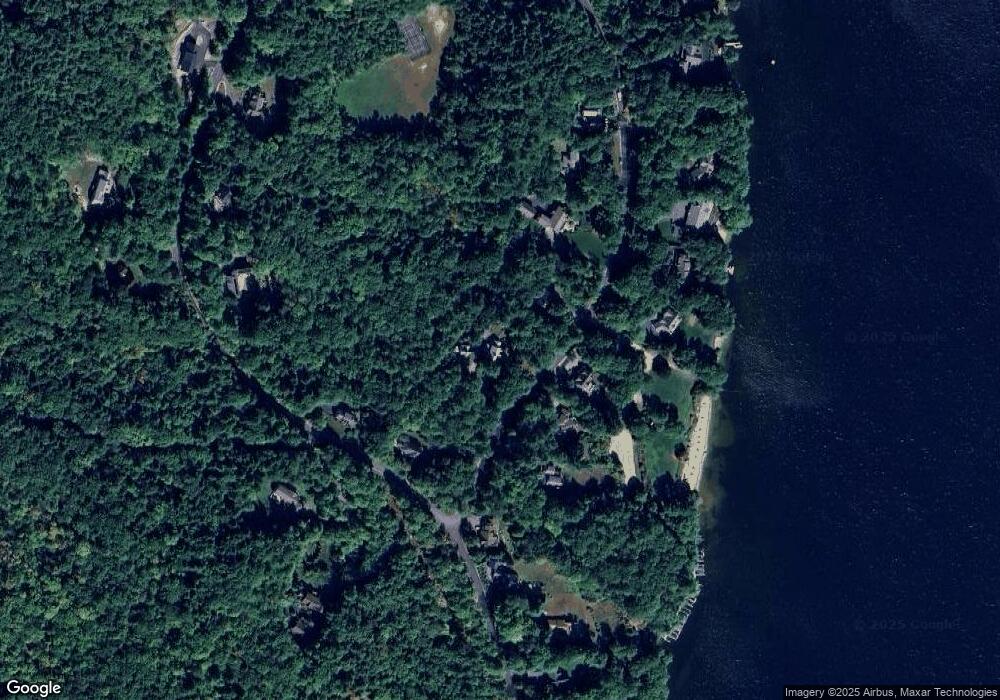
Map
Nearby Homes
- 0 Black Brook Rd Unit 5063655
- 264 Chemung Rd
- 00 Chemung Rd Unit 31
- 36 New Rd
- 1 Sanctuary Ln
- 247 Meredith Center Rd
- 65 Tucker Mountain Rd
- 18 Solace Pointe Rd
- 14 Solace Pointe Rd
- 6 Loon Point Rd
- 32 Eastman Shore Rd S
- 12 Serenity Ln
- 126 Meredith Center Rd
- 3114 Parade Rd
- 65 Corliss Hill Rd
- 2 Clover Ln
- 1 Clover Ln Unit 1
- 12 Clover Ln
- 00000 Severance Rd
- 6 Anthony Dr
- 16 Lower Waldron Rd
- 11 Lower Waldron Rd
- 9 Lower Waldron Rd
- 72 Swain Rd
- 62 Swain Rd
- 7 Lower Waldron Rd
- 22 Lower Waldron Rd
- lot 39 Swain Rd
- 74 Swain Rd
- 17 Lower Waldron Rd
- 19 Lower Waldron Rd
- 24 Lower Waldron Rd
- 76 Swain Rd
- Lot R26 Swain Rd
- 63 Swain Rd
- 21 Lower Waldron Rd
- 54 Swain Rd
- 54 Swain Rd
- Lot 2-11 Swain Rd
- 26 Lower Waldron Rd