10 Michaels Way Weston, CT 06883
Estimated Value: $2,581,000 - $3,562,000
6
Beds
9
Baths
8,059
Sq Ft
$396/Sq Ft
Est. Value
About This Home
This home is located at 10 Michaels Way, Weston, CT 06883 and is currently estimated at $3,188,939, approximately $395 per square foot. 10 Michaels Way is a home located in Fairfield County with nearby schools including Hurlbutt Elementary School, Weston Intermediate School, and Weston Middle School.
Ownership History
Date
Name
Owned For
Owner Type
Purchase Details
Closed on
Jul 30, 2003
Sold by
Bear Fmly Lp
Bought by
Sitver Steven H and Sitver Meryl A
Current Estimated Value
Purchase Details
Closed on
Jan 7, 1997
Sold by
Westbrook Dev
Bought by
Denis Thomas and Denis Ellen
Home Financials for this Owner
Home Financials are based on the most recent Mortgage that was taken out on this home.
Original Mortgage
$1,980,000
Interest Rate
7.63%
Mortgage Type
Unknown
Purchase Details
Closed on
Dec 29, 1995
Sold by
Pauker Richard and Pauker Joyce
Bought by
Westbrookd Development
Home Financials for this Owner
Home Financials are based on the most recent Mortgage that was taken out on this home.
Original Mortgage
$385,000
Interest Rate
7.33%
Create a Home Valuation Report for This Property
The Home Valuation Report is an in-depth analysis detailing your home's value as well as a comparison with similar homes in the area
Home Values in the Area
Average Home Value in this Area
Purchase History
| Date | Buyer | Sale Price | Title Company |
|---|---|---|---|
| Sitver Steven H | $4,150,000 | -- | |
| Denis Thomas | $1,982,000 | -- | |
| Westbrookd Development | $410,000 | -- |
Source: Public Records
Mortgage History
| Date | Status | Borrower | Loan Amount |
|---|---|---|---|
| Previous Owner | Westbrookd Development | $1,980,000 | |
| Previous Owner | Westbrookd Development | $385,000 | |
| Closed | Westbrookd Development | $720,000 |
Source: Public Records
Tax History Compared to Growth
Tax History
| Year | Tax Paid | Tax Assessment Tax Assessment Total Assessment is a certain percentage of the fair market value that is determined by local assessors to be the total taxable value of land and additions on the property. | Land | Improvement |
|---|---|---|---|---|
| 2025 | $50,053 | $2,094,260 | $430,780 | $1,663,480 |
| 2024 | $49,152 | $2,094,260 | $430,780 | $1,663,480 |
| 2023 | $53,714 | $1,624,730 | $430,780 | $1,193,950 |
| 2022 | $53,567 | $1,624,730 | $430,780 | $1,193,950 |
| 2021 | $53,486 | $1,624,730 | $430,780 | $1,193,950 |
| 2020 | $52,593 | $1,624,730 | $430,780 | $1,193,950 |
| 2019 | $59,843 | $1,848,730 | $430,780 | $1,417,950 |
| 2018 | $61,513 | $2,093,000 | $457,500 | $1,635,500 |
| 2017 | $60,509 | $2,093,000 | $457,500 | $1,635,500 |
| 2016 | $59,776 | $2,093,000 | $457,500 | $1,635,500 |
| 2015 | $60,006 | $2,093,000 | $457,500 | $1,635,500 |
| 2014 | $59,106 | $2,093,000 | $457,500 | $1,635,500 |
Source: Public Records
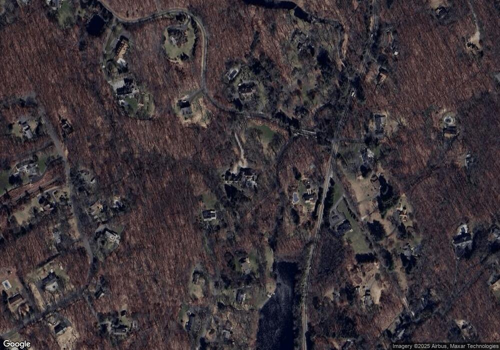
Map
Nearby Homes
- 28 Old Orchard Dr
- 76 Lords Hwy
- 27 Rogues Ridge
- 15 Mountain View Dr
- 335 Georgetown Rd
- 14 Langner Ln
- 4 Trails End Rd
- 29 Salem Rd
- 41 Calvin Rd
- 214 Good Hill Rd
- 76 Sturges Ridge Rd
- 81 Norfield Rd
- 55 Liberty St
- 26 Hill Farm Rd
- 198 Steep Hill Rd
- 23 Wilson Rd
- 262 Lyons Plain Rd
- 4 Colony Rd
- 38 Honey Hill Rd
- 475 Danbury Rd
- 105 Lakeside Dr
- 34 Lakeside Dr
- 12 Michaels Way
- 15 Michaels Way
- 220 Newtown Turnpike
- 3 Michaels Way
- 14 Michaels Way
- 32 Lakeside Dr
- 152 Old Hyde Rd
- 21 Lakeside Dr
- 167 Old Hyde Rd
- 161 Old Hyde Rd
- 50 Michaels Way
- 29 November Trail
- 209 Newtown Turnpike
- 36 Michaels Way
- 227 Newtown Turnpike
- 232 Newtown Turnpike
- 31 November Trail
- 19 Lakeside Dr