Estimated Value: $340,000 - $431,000
3
Beds
2
Baths
1,652
Sq Ft
$222/Sq Ft
Est. Value
About This Home
This home is located at 10 Skyview Dr, Ware, MA 01082 and is currently estimated at $366,737, approximately $221 per square foot. 10 Skyview Dr is a home located in Hampshire County with nearby schools including Stanley M. Koziol Elementary School, Ware Middle School, and Ware Junior/Senior High School.
Ownership History
Date
Name
Owned For
Owner Type
Purchase Details
Closed on
Dec 21, 1992
Sold by
Parker Rosemarie D and Parker Michael R
Bought by
Plouffe Jean L and Plouffe Robert P
Current Estimated Value
Home Financials for this Owner
Home Financials are based on the most recent Mortgage that was taken out on this home.
Original Mortgage
$90,000
Interest Rate
8.3%
Mortgage Type
Purchase Money Mortgage
Create a Home Valuation Report for This Property
The Home Valuation Report is an in-depth analysis detailing your home's value as well as a comparison with similar homes in the area
Home Values in the Area
Average Home Value in this Area
Purchase History
| Date | Buyer | Sale Price | Title Company |
|---|---|---|---|
| Plouffe Jean L | $115,000 | -- |
Source: Public Records
Mortgage History
| Date | Status | Borrower | Loan Amount |
|---|---|---|---|
| Open | Plouffe Jean L | $60,000 | |
| Closed | Plouffe Jean L | $89,000 | |
| Closed | Plouffe Jean L | $90,000 |
Source: Public Records
Tax History
| Year | Tax Paid | Tax Assessment Tax Assessment Total Assessment is a certain percentage of the fair market value that is determined by local assessors to be the total taxable value of land and additions on the property. | Land | Improvement |
|---|---|---|---|---|
| 2025 | $4,342 | $288,300 | $49,600 | $238,700 |
| 2024 | $4,174 | $255,600 | $46,800 | $208,800 |
| 2023 | $4,453 | $258,000 | $45,000 | $213,000 |
| 2022 | $4,388 | $226,900 | $41,700 | $185,200 |
| 2021 | $4,282 | $212,200 | $41,700 | $170,500 |
| 2020 | $4,143 | $200,800 | $41,700 | $159,100 |
| 2019 | $2,728 | $200,800 | $41,700 | $159,100 |
| 2018 | $2,737 | $189,800 | $40,700 | $149,100 |
| 2017 | $3,525 | $169,700 | $43,200 | $126,500 |
| 2016 | $3,430 | $169,700 | $43,200 | $126,500 |
| 2015 | $3,335 | $169,700 | $43,200 | $126,500 |
| 2014 | $3,151 | $172,100 | $37,200 | $134,900 |
Source: Public Records
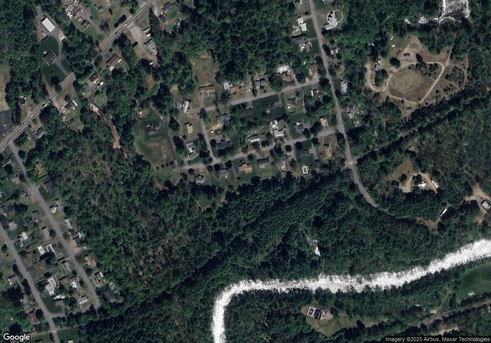
Map
Nearby Homes
- 310 Palmer Rd
- 201 West St
- LOT 3 Monson Turnpike Rd
- 201 Belchertown Rd
- 24 Clinton St
- 87 W Main St
- 378 Rondeau St
- 30 Warebrook Village
- 67 Babcock Tavern Rd
- 7 Webb Ct
- 23 West St Unit 25
- 375 Belchertown Rd
- 44 South St
- 60 Quaboag Valley Co Op St
- Lot 16 Coldbrook Dr
- Lot 20 Coldbrook Dr
- Lot 22 Coldbrook Dr
- Lot 13 Coldbrook Dr
- Lot 25 Coldbrook Dr
- 48 North St Unit 1
Your Personal Tour Guide
Ask me questions while you tour the home.