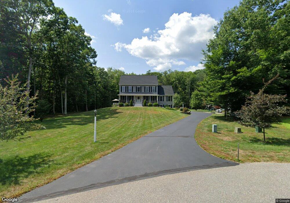
10 Tayla Way Nottingham, NH 03290
Estimated Value: $692,000 - $710,000
3
Beds
3
Baths
2,571
Sq Ft
$272/Sq Ft
Est. Value
About This Home
This home is located at 10 Tayla Way, Nottingham, NH 03290 and is currently estimated at $698,736, approximately $271 per square foot. 10 Tayla Way is a home located in Rockingham County with nearby schools including Nottingham Elementary School.
Ownership History
Date
Name
Owned For
Owner Type
Purchase Details
Closed on
Jun 10, 2009
Sold by
Vonderlinden Eric C and Vonderlinden Jennifer R
Bought by
Boulter Deirdre A and Boulter Thomas J
Current Estimated Value
Home Financials for this Owner
Home Financials are based on the most recent Mortgage that was taken out on this home.
Original Mortgage
$235,100
Outstanding Balance
$148,940
Interest Rate
4.82%
Mortgage Type
Purchase Money Mortgage
Estimated Equity
$549,796
Create a Home Valuation Report for This Property
The Home Valuation Report is an in-depth analysis detailing your home's value as well as a comparison with similar homes in the area
Home Values in the Area
Average Home Value in this Area
Purchase History
| Date | Buyer | Sale Price | Title Company |
|---|---|---|---|
| Boulter Deirdre A | $293,900 | -- |
Source: Public Records
Mortgage History
| Date | Status | Borrower | Loan Amount |
|---|---|---|---|
| Open | Boulter Deirdre A | $235,100 |
Source: Public Records
Tax History Compared to Growth
Tax History
| Year | Tax Paid | Tax Assessment Tax Assessment Total Assessment is a certain percentage of the fair market value that is determined by local assessors to be the total taxable value of land and additions on the property. | Land | Improvement |
|---|---|---|---|---|
| 2024 | $8,378 | $409,500 | $161,600 | $247,900 |
| 2023 | $8,780 | $409,500 | $161,600 | $247,900 |
| 2022 | $7,826 | $409,500 | $161,600 | $247,900 |
| 2021 | $7,894 | $406,500 | $161,600 | $244,900 |
| 2020 | $7,626 | $406,500 | $161,600 | $244,900 |
| 2019 | $7,450 | $331,100 | $105,200 | $225,900 |
| 2018 | $7,496 | $331,100 | $105,200 | $225,900 |
| 2017 | $6,937 | $331,100 | $105,200 | $225,900 |
| 2016 | $6,837 | $331,100 | $105,200 | $225,900 |
| 2015 | $6,735 | $331,100 | $105,200 | $225,900 |
| 2014 | $6,337 | $290,400 | $83,700 | $206,700 |
| 2013 | $6,258 | $290,400 | $83,700 | $206,700 |
Source: Public Records
Map
Nearby Homes
- 60 Ledge Farm Rd
- 12 Gerrish Dr
- 13 Woodland Ave
- 179 Stage Rd
- 100 Megans Way
- 101 Megans Way Unit 101
- 97 Megans Way Unit 97
- lot 103 Megans Way Unit 103
- lot 95 Megans Way Unit 95
- lot 96 Megans Way
- 20 Towle Rd
- 1 Oak Ridge Rd
- 384 N River Rd
- 288 N River Rd
- 373 Calef Hwy
- 5A Connor Ct Unit 5A
- 5 Hedding Rd
- 106 Smoke St
- 1 Autumn Ln
- 21 Autumn Ln