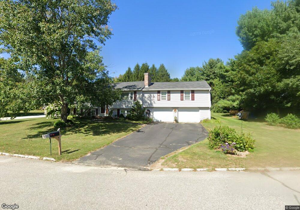
10 Toftree Ln Dover, NH 03820
Dover Point NeighborhoodEstimated Value: $603,263 - $680,000
4
Beds
4
Baths
2,210
Sq Ft
$297/Sq Ft
Est. Value
About This Home
This home is located at 10 Toftree Ln, Dover, NH 03820 and is currently estimated at $656,066, approximately $296 per square foot. 10 Toftree Ln is a home located in Strafford County with nearby schools including Garrison School, Dover Middle School, and Dover Senior High School.
Ownership History
Date
Name
Owned For
Owner Type
Purchase Details
Closed on
Jul 23, 1996
Sold by
Correia Madeline M
Bought by
Gile Michael K and Gile Joan W
Current Estimated Value
Home Financials for this Owner
Home Financials are based on the most recent Mortgage that was taken out on this home.
Original Mortgage
$117,800
Interest Rate
8.28%
Create a Home Valuation Report for This Property
The Home Valuation Report is an in-depth analysis detailing your home's value as well as a comparison with similar homes in the area
Home Values in the Area
Average Home Value in this Area
Purchase History
| Date | Buyer | Sale Price | Title Company |
|---|---|---|---|
| Gile Michael K | $124,000 | -- |
Source: Public Records
Mortgage History
| Date | Status | Borrower | Loan Amount |
|---|---|---|---|
| Open | Gile Michael K | $151,000 | |
| Closed | Gile Michael K | $117,800 |
Source: Public Records
Tax History
| Year | Tax Paid | Tax Assessment Tax Assessment Total Assessment is a certain percentage of the fair market value that is determined by local assessors to be the total taxable value of land and additions on the property. | Land | Improvement |
|---|---|---|---|---|
| 2024 | $9,537 | $524,900 | $153,000 | $371,900 |
| 2023 | $8,918 | $476,900 | $153,000 | $323,900 |
| 2022 | $8,954 | $451,300 | $153,000 | $298,300 |
| 2021 | $8,702 | $401,000 | $136,000 | $265,000 |
| 2020 | $8,345 | $335,800 | $119,000 | $216,800 |
| 2019 | $8,134 | $322,900 | $110,500 | $212,400 |
| 2018 | $8,014 | $321,600 | $110,500 | $211,100 |
| 2017 | $7,391 | $285,700 | $80,700 | $205,000 |
| 2016 | $7,098 | $270,000 | $83,600 | $186,400 |
| 2015 | $7,068 | $265,600 | $83,600 | $182,000 |
| 2014 | $6,908 | $265,600 | $83,600 | $182,000 |
| 2011 | $6,443 | $256,500 | $71,100 | $185,400 |
Source: Public Records
Map
Nearby Homes
- 16 Polly Ann Park
- 4 Freedom Dr
- 14 Independence Dr
- 51 Constitution Way
- 1 Independence Dr
- 6 Revolution Dr
- 69 Polly Ann Trailer Park
- 55 Pointe Place Unit 108
- 55 Pointe Place Unit 208
- 55 Pointe Place Unit 201
- 55 Pointe Place Unit 304
- 6 Isaac Lucas Cir
- 38 Tideview Dr
- 1 Greenfield Dr
- 20 Village Dr
- 31 Rosanna Dr
- 19 Lenox Dr Unit A
- 6 Hayden Dr
- 25 Fosters Dr
- 116 Heron Cove Rd
Your Personal Tour Guide
Ask me questions while you tour the home.