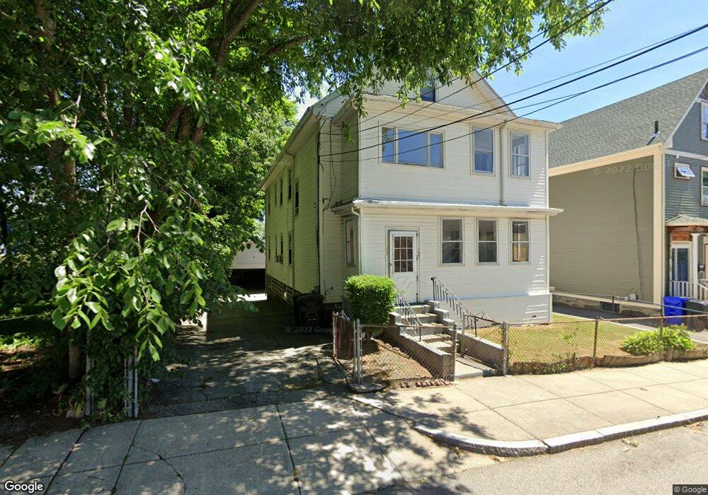
10 Whitford St Unit 12 Roslindale, MA 02131
Roslindale NeighborhoodEstimated Value: $911,000 - $1,110,905
6
Beds
4
Baths
2,870
Sq Ft
$346/Sq Ft
Est. Value
About This Home
This home is located at 10 Whitford St Unit 12, Roslindale, MA 02131 and is currently estimated at $993,226, approximately $346 per square foot. 10 Whitford St Unit 12 is a home located in Suffolk County with nearby schools including Brooke Charter School Roslindale, Sacred Heart STEM School, and St. Clare High School.
Ownership History
Date
Name
Owned For
Owner Type
Purchase Details
Closed on
Nov 16, 2021
Sold by
Gavrilidis George and Gavrilidis Sofia
Bought by
Georgios Gavrielidis Ret and Gavrilidis
Current Estimated Value
Create a Home Valuation Report for This Property
The Home Valuation Report is an in-depth analysis detailing your home's value as well as a comparison with similar homes in the area
Home Values in the Area
Average Home Value in this Area
Purchase History
| Date | Buyer | Sale Price | Title Company |
|---|---|---|---|
| Georgios Gavrielidis Ret | -- | None Available | |
| Georgios Gavrielidis Ret | -- | None Available |
Source: Public Records
Tax History Compared to Growth
Tax History
| Year | Tax Paid | Tax Assessment Tax Assessment Total Assessment is a certain percentage of the fair market value that is determined by local assessors to be the total taxable value of land and additions on the property. | Land | Improvement |
|---|---|---|---|---|
| 2025 | $10,298 | $889,300 | $228,000 | $661,300 |
| 2024 | $7,602 | $697,400 | $269,700 | $427,700 |
| 2023 | $7,202 | $670,600 | $259,300 | $411,300 |
| 2022 | $6,632 | $609,600 | $235,700 | $373,900 |
| 2021 | $6,376 | $597,600 | $231,100 | $366,500 |
| 2020 | $5,714 | $541,100 | $188,100 | $353,000 |
| 2019 | $5,382 | $510,600 | $163,200 | $347,400 |
| 2018 | $5,048 | $481,700 | $163,200 | $318,500 |
| 2017 | $5,000 | $472,100 | $163,200 | $308,900 |
| 2016 | $4,808 | $437,100 | $163,200 | $273,900 |
| 2015 | $4,404 | $363,700 | $141,500 | $222,200 |
| 2014 | $3,966 | $315,300 | $141,500 | $173,800 |
Source: Public Records
Map
Nearby Homes
- 25 Crandall St
- 142 Metropolitan Ave Unit A
- 69 Metropolitan Ave
- 55 Metropolitan Ave
- 250 Poplar St Unit 1
- 5 7 Hemman St
- 142 Birch St
- 142 Birch St Unit 1
- 142 Birch St Unit 2
- 67 Cummins Hwy Unit 101
- 16 Hilburn Place
- 112 Roslindale Ave Unit 2
- 80 Roslindale Ave Unit 3
- 65 Birch St Unit 3
- 295 Kittredge St
- 0 Averton St
- 34 Averton St
- 415 Poplar St
- 89 Glendower Rd
- 124 Glendower Rd Unit 2
- 12 Whitford St Unit 1
- 10 Whitford St Unit 2
- 10-12 Whitford St Unit 10
- 10-12 Whitford St
- 10 Whitford St Unit 10
- 12 Whitford St Unit 12
- 10 Whitford St Unit 1
- 14 Whitford St
- 14 Whitford St Unit 14
- 16 Whitford St Unit 2
- 14 Whitford St Unit 16
- 16 Whitford St
- 16 Whitford St Unit 16
- 14 Whitford St Unit 1
- 14-16 Whitford St Unit 14
- 39 Augustus Ave
- 106 Kittredge St
- 9 Whitford St Unit 9
- 35 Augustus Ave
- 100 Kittredge St