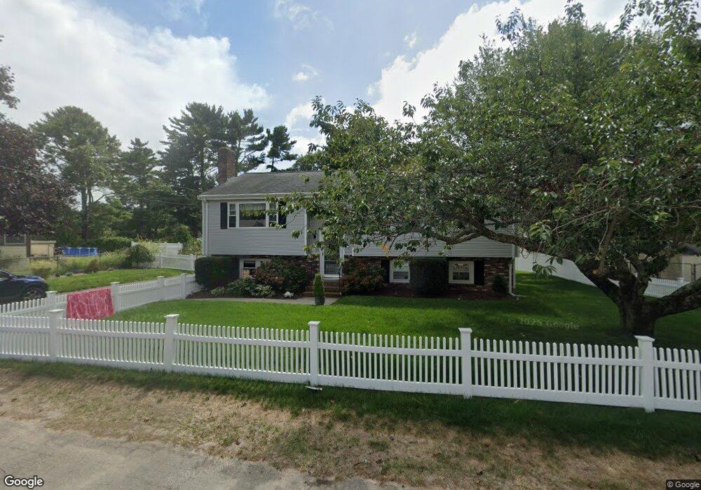
10 Willard St Wareham, MA 02571
Estimated Value: $519,000 - $618,541
3
Beds
2
Baths
1,900
Sq Ft
$305/Sq Ft
Est. Value
About This Home
This home is located at 10 Willard St, Wareham, MA 02571 and is currently estimated at $580,135, approximately $305 per square foot. 10 Willard St is a home located in Plymouth County.
Ownership History
Date
Name
Owned For
Owner Type
Purchase Details
Closed on
Nov 17, 2008
Sold by
Lucas James E and Denham Amy B
Bought by
Cabe Christopher G and Cabe Sarah S
Current Estimated Value
Home Financials for this Owner
Home Financials are based on the most recent Mortgage that was taken out on this home.
Original Mortgage
$212,160
Outstanding Balance
$139,611
Interest Rate
6.13%
Mortgage Type
Purchase Money Mortgage
Estimated Equity
$440,524
Purchase Details
Closed on
Apr 8, 2008
Sold by
Holmes Robert C and Holmes Pamela J
Bought by
Lucas James E and Denham Amy B
Purchase Details
Closed on
Dec 18, 1995
Sold by
Konstantinidis Ft and Konstantinidis Kiki
Bought by
Holmes Robert C and Holmes Pamela J
Create a Home Valuation Report for This Property
The Home Valuation Report is an in-depth analysis detailing your home's value as well as a comparison with similar homes in the area
Purchase History
| Date | Buyer | Sale Price | Title Company |
|---|---|---|---|
| Cabe Christopher G | $208,000 | -- | |
| Cabe Christopher G | $208,000 | -- | |
| Lucas James E | $219,000 | -- | |
| Lucas James E | $219,000 | -- | |
| Holmes Robert C | $120,000 | -- | |
| Holmes Robert C | $120,000 | -- |
Source: Public Records
Mortgage History
| Date | Status | Borrower | Loan Amount |
|---|---|---|---|
| Open | Holmes Robert C | $212,160 | |
| Closed | Holmes Robert C | $212,160 |
Source: Public Records
Tax History
| Year | Tax Paid | Tax Assessment Tax Assessment Total Assessment is a certain percentage of the fair market value that is determined by local assessors to be the total taxable value of land and additions on the property. | Land | Improvement |
|---|---|---|---|---|
| 2025 | $5,288 | $507,500 | $122,100 | $385,400 |
| 2024 | $5,307 | $472,600 | $95,800 | $376,800 |
| 2023 | $4,726 | $419,800 | $87,000 | $332,800 |
| 2022 | $4,726 | $358,600 | $87,000 | $271,600 |
| 2021 | $4,541 | $337,600 | $87,000 | $250,600 |
| 2020 | $4,477 | $337,600 | $87,000 | $250,600 |
| 2019 | $3,802 | $286,100 | $85,300 | $200,800 |
| 2018 | $3,773 | $276,800 | $85,300 | $191,500 |
| 2017 | $3,478 | $258,600 | $85,300 | $173,300 |
| 2016 | $3,328 | $246,000 | $84,100 | $161,900 |
| 2015 | $2,868 | $219,400 | $84,100 | $135,300 |
| 2014 | $2,876 | $223,800 | $84,100 | $139,700 |
Source: Public Records
Map
Nearby Homes
- 2711 Cranberry Hwy
- 2697 Cranberry Hwy Unit 23
- 2645 Cranberry Hwy Unit A
- 103 Kimberly Ct
- 156 Sandwich Rd
- 2783 Cranberry Hwy
- 0 Charge Pond Rd
- 25 Linwood Ave
- 110 Mayflower Ridge Dr
- 55 Minot Ave Unit 55
- 2838 Cranberry Hwy
- 102 Maple Springs Rd
- 10 Oak St
- 437 Main St
- 91 Agawam Lake Shore Dr
- 223 Charge Pond Rd
- 9 Old Glen Charlie Rd
- 124 Minot Ave Unit 1
- 7 Knowles Ave
- 3 Michael Dr
Your Personal Tour Guide
Ask me questions while you tour the home.