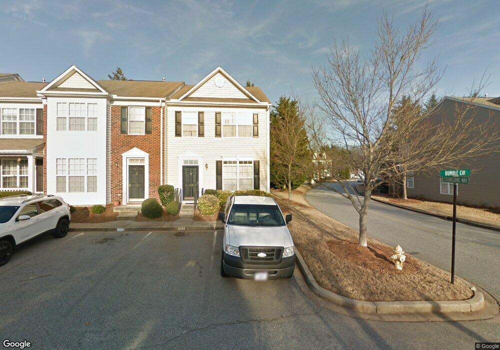
100 Bumble Cir Mauldin, SC 29662
Estimated Value: $208,012 - $237,000
2
Beds
3
Baths
1,480
Sq Ft
$149/Sq Ft
Est. Value
About This Home
This home is located at 100 Bumble Cir, Mauldin, SC 29662 and is currently estimated at $220,503, approximately $148 per square foot. 100 Bumble Cir is a home located in Greenville County with nearby schools including Greenbrier Elementary School, Hillcrest Middle School, and Mauldin High School.
Ownership History
Date
Name
Owned For
Owner Type
Purchase Details
Closed on
Mar 6, 2014
Sold by
The United States Department Of Housing
Bought by
Webb Peter Christopher
Current Estimated Value
Purchase Details
Closed on
Oct 23, 2013
Sold by
Clinksales Sudie P
Bought by
Secretary Of Housing & Urban Development
Purchase Details
Closed on
Apr 5, 2006
Sold by
Eastwood Construction Co Inc
Bought by
Clinkscales Sudie P
Home Financials for this Owner
Home Financials are based on the most recent Mortgage that was taken out on this home.
Original Mortgage
$90,000
Interest Rate
6.23%
Mortgage Type
Purchase Money Mortgage
Create a Home Valuation Report for This Property
The Home Valuation Report is an in-depth analysis detailing your home's value as well as a comparison with similar homes in the area
Home Values in the Area
Average Home Value in this Area
Purchase History
| Date | Buyer | Sale Price | Title Company |
|---|---|---|---|
| Webb Peter Christopher | $82,000 | -- | |
| Secretary Of Housing & Urban Development | $75,000 | -- | |
| Clinkscales Sudie P | $117,200 | None Available |
Source: Public Records
Mortgage History
| Date | Status | Borrower | Loan Amount |
|---|---|---|---|
| Previous Owner | Clinkscales Sudie P | $90,000 |
Source: Public Records
Tax History
| Year | Tax Paid | Tax Assessment Tax Assessment Total Assessment is a certain percentage of the fair market value that is determined by local assessors to be the total taxable value of land and additions on the property. | Land | Improvement |
|---|---|---|---|---|
| 2025 | $886 | $5,310 | $910 | $4,400 |
| 2024 | $886 | $4,620 | $760 | $3,860 |
| 2023 | $850 | $4,620 | $760 | $3,860 |
| 2022 | $801 | $4,620 | $760 | $3,860 |
| 2021 | $802 | $4,620 | $760 | $3,860 |
| 2020 | $744 | $4,010 | $660 | $3,350 |
| 2019 | $744 | $4,010 | $660 | $3,350 |
| 2018 | $743 | $4,010 | $660 | $3,350 |
| 2017 | $743 | $4,010 | $660 | $3,350 |
| 2016 | $709 | $100,320 | $16,500 | $83,820 |
| 2015 | $709 | $100,320 | $16,500 | $83,820 |
| 2014 | $1,978 | $106,830 | $14,000 | $92,830 |
Source: Public Records
Map
Nearby Homes
- 66 Sikes Cir
- 413 Twist Cir
- 515 Fagin Cir
- 26 Sikes Cir
- 311 Whatley Cir
- 305 Crestwood Dr
- 147 Trailside Ln
- 123 Trailside Ln
- 103 Teal Ln
- 117 Wood Creek Rd
- 207 Nantallah Trail
- 20 Golden Apple Trail
- 120 Cambie Place
- 407 Fielder Way
- 113 Carlton Dr
- 416 Fielder Way
- 3 Mercy Dr
- 905 Goldendale Ct
- 412 Fielder Way
- 111 Golden Crest Ct
Your Personal Tour Guide
Ask me questions while you tour the home.