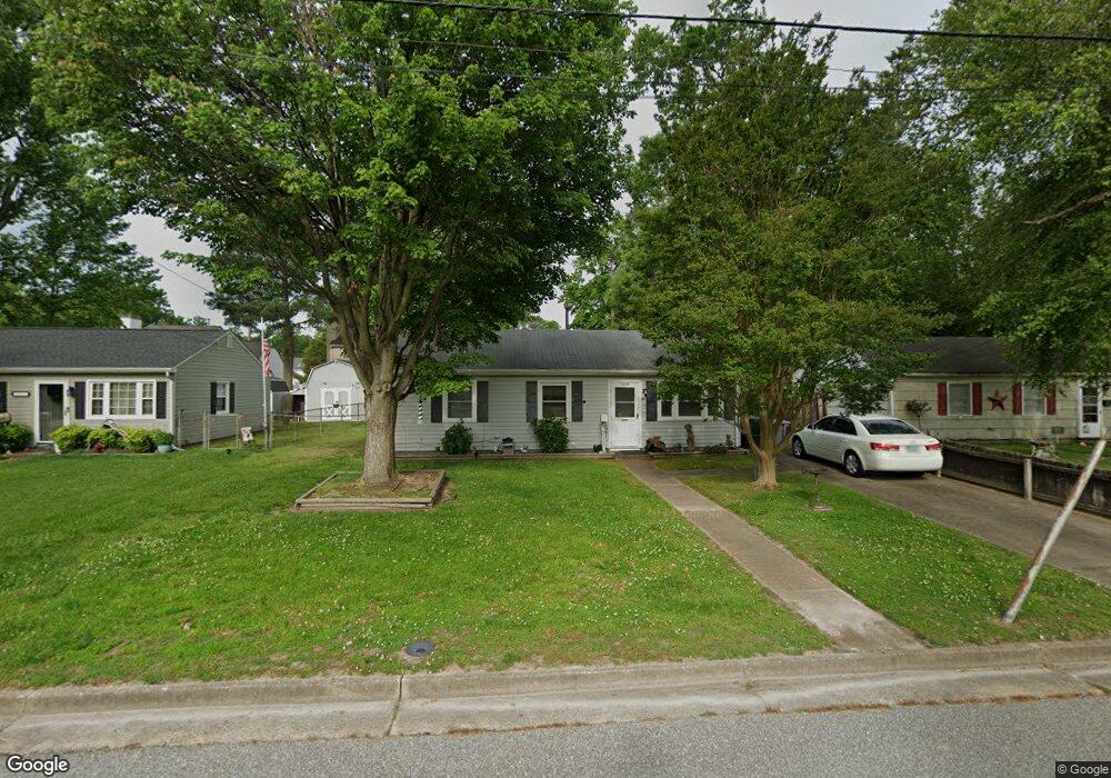
1003 Rollins Cir Hampton, VA 23663
Buckroe Beach NeighborhoodEstimated Value: $190,923 - $222,000
3
Beds
1
Bath
912
Sq Ft
$227/Sq Ft
Est. Value
About This Home
This home is located at 1003 Rollins Cir, Hampton, VA 23663 and is currently estimated at $207,231, approximately $227 per square foot. 1003 Rollins Cir is a home located in Hampton City with nearby schools including Capt. John Smith Elementary School, Benjamin Syms Middle School, and Phoebus High School.
Ownership History
Date
Name
Owned For
Owner Type
Purchase Details
Closed on
Oct 1, 2003
Sold by
Creech Loyd
Bought by
Feeny William
Current Estimated Value
Home Financials for this Owner
Home Financials are based on the most recent Mortgage that was taken out on this home.
Original Mortgage
$73,350
Outstanding Balance
$34,323
Interest Rate
6.25%
Mortgage Type
New Conventional
Estimated Equity
$172,908
Create a Home Valuation Report for This Property
The Home Valuation Report is an in-depth analysis detailing your home's value as well as a comparison with similar homes in the area
Home Values in the Area
Average Home Value in this Area
Purchase History
| Date | Buyer | Sale Price | Title Company |
|---|---|---|---|
| Feeny William | $81,500 | -- |
Source: Public Records
Mortgage History
| Date | Status | Borrower | Loan Amount |
|---|---|---|---|
| Open | Feeny William | $73,350 |
Source: Public Records
Tax History Compared to Growth
Tax History
| Year | Tax Paid | Tax Assessment Tax Assessment Total Assessment is a certain percentage of the fair market value that is determined by local assessors to be the total taxable value of land and additions on the property. | Land | Improvement |
|---|---|---|---|---|
| 2025 | $1,830 | $178,800 | $55,000 | $123,800 |
| 2024 | $1,830 | $159,100 | $55,000 | $104,100 |
| 2023 | $142 | $141,700 | $55,000 | $86,700 |
| 2022 | $1,508 | $127,800 | $50,000 | $77,800 |
| 2021 | $810 | $109,700 | $42,000 | $67,700 |
| 2020 | $1,257 | $101,400 | $38,300 | $63,100 |
| 2019 | $1,261 | $101,700 | $38,300 | $63,400 |
| 2018 | $563 | $100,800 | $38,300 | $62,500 |
| 2017 | $719 | $0 | $0 | $0 |
| 2016 | $719 | $100,800 | $0 | $0 |
| 2015 | $406 | $0 | $0 | $0 |
| 2014 | $419 | $100,800 | $38,300 | $62,500 |
Source: Public Records
Map
Nearby Homes
- 1802 Moger Dr
- 1219 Hale Dr
- 1482 Morgan Dr
- 1852 Kensington Dr
- 1427 Oakcrest Dr
- 1358 Coral Place
- 1340 Coral Place
- 706 Grimes Rd
- 1428 Woodcrest Dr
- 1422 Woodcrest Dr
- 1907 Rawood Dr
- 1404 Brackin Ct
- 1400 Brackin Ct
- 1829 Womack Dr
- 1304 Woodcrest Dr
- 1926 Somerville Dr
- 344 Woodside Dr
- 105 Ireland St
- 1507 Hastings Dr
- 403 Woodland Rd