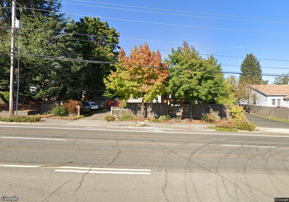
1009 W Powell Blvd Gresham, OR 97030
Northwest Gresham NeighborhoodEstimated Value: $445,278 - $754,000
4
Beds
1
Bath
1,924
Sq Ft
$283/Sq Ft
Est. Value
About This Home
This home is located at 1009 W Powell Blvd, Gresham, OR 97030 and is currently estimated at $543,820, approximately $282 per square foot. 1009 W Powell Blvd is a home located in Multnomah County with nearby schools including Dexter McCarty Middle School, Gresham High School, and Gresham Arthur Academy.
Ownership History
Date
Name
Owned For
Owner Type
Purchase Details
Closed on
May 5, 1999
Sold by
Milne John C
Bought by
Thelander Micheal J and Thelander Johanna M
Current Estimated Value
Home Financials for this Owner
Home Financials are based on the most recent Mortgage that was taken out on this home.
Original Mortgage
$135,000
Interest Rate
7.64%
Mortgage Type
Seller Take Back
Create a Home Valuation Report for This Property
The Home Valuation Report is an in-depth analysis detailing your home's value as well as a comparison with similar homes in the area
Home Values in the Area
Average Home Value in this Area
Purchase History
| Date | Buyer | Sale Price | Title Company |
|---|---|---|---|
| Thelander Micheal J | $140,000 | Ticor Title |
Source: Public Records
Mortgage History
| Date | Status | Borrower | Loan Amount |
|---|---|---|---|
| Previous Owner | Thelander Micheal J | $135,000 |
Source: Public Records
Tax History
| Year | Tax Paid | Tax Assessment Tax Assessment Total Assessment is a certain percentage of the fair market value that is determined by local assessors to be the total taxable value of land and additions on the property. | Land | Improvement |
|---|---|---|---|---|
| 2025 | $4,848 | $238,220 | -- | -- |
| 2024 | $4,641 | $231,290 | -- | -- |
| 2023 | $4,641 | $224,560 | -- | -- |
| 2022 | $4,110 | $218,020 | $0 | $0 |
| 2021 | $4,006 | $211,670 | $0 | $0 |
| 2020 | $3,769 | $205,510 | $0 | $0 |
| 2019 | $3,671 | $199,530 | $0 | $0 |
| 2018 | $3,500 | $193,720 | $0 | $0 |
| 2017 | $3,358 | $188,080 | $0 | $0 |
| 2016 | $2,961 | $182,610 | $0 | $0 |
| 2015 | $2,897 | $177,300 | $0 | $0 |
| 2014 | $2,827 | $172,140 | $0 | $0 |
Source: Public Records
Map
Nearby Homes
- 1113 W Powell Blvd
- 159 SW Florence Ave Unit 64
- 159 SW Florence Ave
- 645 W Powell Blvd
- 638 SW 7th St
- 1325 NW 9th St
- 994 NW Wallula Ave
- 765 NW Angeline Ave
- 1745 NW 7th Place
- 44 SW Birdsdale Dr
- 2095 NW 3rd St
- 625 SW Miller Ct
- 0 NE 5th St
- 318 NE Roberts Ave Unit 308
- 318 NE Roberts Ave Unit 203
- 1175 SW Chastain Dr
- 230 NW Mawrcrest Ave
- 236 NW Mawrcrest Ave
- 256 NW Mawrcrest Ave
- 284 NW Mawrcrest Ave
- 1035 W Powell Blvd
- 1005 W Powell Blvd
- 933 W Powell Blvd
- 36 NW Florence Ave
- 951 W Powell Blvd
- 50 NW Florence Ave Unit 52
- 1010 W Powell Blvd Unit 1040
- 907 W Powell Blvd
- 1010 -- 1040 W Powell Blvd
- 25 NW Wilson Ave
- 1107 W Powell Blvd
- 45 NW Wilson Ave
- 990 W Powell Blvd Unit 1000
- 1060 W Powell Blvd Unit 1090
- 19 NW Florence Ave
- 970 W Powell Bl
- 950 W Powell Blvd Unit 970
- 76 NW Florence Ave
- 1110 W Powell Blvd Unit 1140
- 65 NW Wilson Ave
Your Personal Tour Guide
Ask me questions while you tour the home.