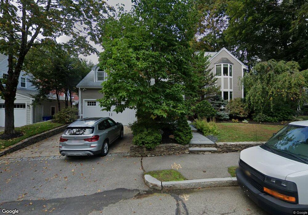
101 Carlton Rd Waban, MA 02468
Waban NeighborhoodEstimated Value: $1,779,000 - $2,136,000
3
Beds
4
Baths
2,734
Sq Ft
$735/Sq Ft
Est. Value
About This Home
This home is located at 101 Carlton Rd, Waban, MA 02468 and is currently estimated at $2,009,517, approximately $735 per square foot. 101 Carlton Rd is a home located in Middlesex County with nearby schools including Angier Elementary School, Charles E Brown Middle School, and Newton South High School.
Ownership History
Date
Name
Owned For
Owner Type
Purchase Details
Closed on
Apr 16, 1993
Sold by
Plonski Joseph W and Plonski Lori A
Bought by
Wantman Ernest D and Ornsteen-Wantman Sheri
Current Estimated Value
Home Financials for this Owner
Home Financials are based on the most recent Mortgage that was taken out on this home.
Original Mortgage
$200,000
Interest Rate
7.39%
Mortgage Type
Purchase Money Mortgage
Create a Home Valuation Report for This Property
The Home Valuation Report is an in-depth analysis detailing your home's value as well as a comparison with similar homes in the area
Home Values in the Area
Average Home Value in this Area
Purchase History
| Date | Buyer | Sale Price | Title Company |
|---|---|---|---|
| Wantman Ernest D | $383,000 | -- |
Source: Public Records
Mortgage History
| Date | Status | Borrower | Loan Amount |
|---|---|---|---|
| Open | Wantman Ernest D | $140,000 | |
| Closed | Wantman Ernest D | $200,000 | |
| Previous Owner | Wantman Ernest D | $285,000 | |
| Previous Owner | Wantman Ernest D | $162,000 |
Source: Public Records
Tax History Compared to Growth
Tax History
| Year | Tax Paid | Tax Assessment Tax Assessment Total Assessment is a certain percentage of the fair market value that is determined by local assessors to be the total taxable value of land and additions on the property. | Land | Improvement |
|---|---|---|---|---|
| 2025 | $17,393 | $1,774,800 | $1,216,300 | $558,500 |
| 2024 | $16,817 | $1,723,100 | $1,180,900 | $542,200 |
| 2023 | $16,163 | $1,587,700 | $900,000 | $687,700 |
| 2022 | $15,465 | $1,470,100 | $833,300 | $636,800 |
| 2021 | $14,923 | $1,386,900 | $786,100 | $600,800 |
| 2020 | $14,479 | $1,386,900 | $786,100 | $600,800 |
| 2019 | $14,071 | $1,346,500 | $763,200 | $583,300 |
| 2018 | $13,577 | $1,254,800 | $694,600 | $560,200 |
| 2017 | $13,164 | $1,183,800 | $655,300 | $528,500 |
| 2016 | $12,591 | $1,106,400 | $612,400 | $494,000 |
| 2015 | $12,005 | $1,034,000 | $572,300 | $461,700 |
Source: Public Records
Map
Nearby Homes
- 177 Varick Rd
- 1801 Beacon St
- 34 Palmer Rd
- 33 Metacomet Rd
- 10 Lorraine Cir
- 34 Pilgrim Rd
- 45 E Quinobequin Rd
- 2084 Washington St
- 18 Annawan Rd
- 20 Kinmonth Rd Unit 203
- 20 Kinmonth Rd Unit 306
- 120 Collins Rd
- 6 Willow St
- 115 Windsor Rd
- 45 Moulton St
- 29 Montclair Rd
- 181 Saint Mary St
- 873 Chestnut St
- 187 Saint Mary St
- 80 Pine Ridge Rd