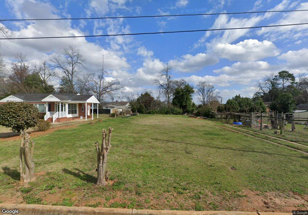
101 Springfield Ave Americus, GA 31709
Estimated Value: $29,000 - $121,000
3
Beds
1
Bath
1,350
Sq Ft
$62/Sq Ft
Est. Value
About This Home
This home is located at 101 Springfield Ave, Americus, GA 31709 and is currently estimated at $83,764, approximately $62 per square foot. 101 Springfield Ave is a home located in Sumter County with nearby schools including Sumter County Primary School, Sumter County Elementary School, and Sumter County Middle School.
Ownership History
Date
Name
Owned For
Owner Type
Purchase Details
Closed on
Oct 23, 2020
Sold by
Mims James Colton
Bought by
Patel Chirag
Current Estimated Value
Purchase Details
Closed on
Nov 18, 2013
Sold by
Mims Arleater
Bought by
Mims James Colton
Purchase Details
Closed on
Jul 2, 1993
Sold by
New York Life Insurance Company
Bought by
Mims Arleater
Purchase Details
Closed on
May 3, 1993
Sold by
Mims Debra M
Bought by
Mims Arleater
Purchase Details
Closed on
Apr 28, 1993
Sold by
Stone Cathy M
Bought by
Mims Arleater
Purchase Details
Closed on
Dec 18, 1950
Sold by
Tye Aj and Tye Jr, Ga
Bought by
Mims James Emmett
Purchase Details
Closed on
Apr 20, 1950
Sold by
G A Tye & Sons
Bought by
Mims James Emmett
Create a Home Valuation Report for This Property
The Home Valuation Report is an in-depth analysis detailing your home's value as well as a comparison with similar homes in the area
Purchase History
| Date | Buyer | Sale Price | Title Company |
|---|---|---|---|
| Patel Chirag | $9,500 | -- | |
| Mims James Colton | -- | -- | |
| Mims Arleater | -- | -- | |
| Mims Arleater | -- | -- | |
| Mims Arleater | -- | -- | |
| Mims James Emmett | -- | -- | |
| Mims James Emmett | -- | -- |
Source: Public Records
Tax History
| Year | Tax Paid | Tax Assessment Tax Assessment Total Assessment is a certain percentage of the fair market value that is determined by local assessors to be the total taxable value of land and additions on the property. | Land | Improvement |
|---|---|---|---|---|
| 2025 | $112 | $2,476 | $2,280 | $196 |
| 2024 | $112 | $2,476 | $2,280 | $196 |
| 2023 | $109 | $2,476 | $2,280 | $196 |
| 2022 | $75 | $2,476 | $2,280 | $196 |
| 2021 | $109 | $2,476 | $2,280 | $196 |
| 2020 | $131 | $2,476 | $2,280 | $196 |
| 2019 | $109 | $2,280 | $2,280 | $0 |
| 2018 | $72 | $2,280 | $2,280 | $0 |
| 2017 | $72 | $2,280 | $2,280 | $0 |
| 2016 | $533 | $13,480 | $2,280 | $11,200 |
| 2015 | $775 | $27,320 | $2,280 | $25,040 |
| 2014 | $777 | $27,320 | $2,280 | $25,040 |
| 2013 | -- | $27,320 | $2,280 | $25,040 |
Source: Public Records
Map
Nearby Homes
- 108 Springfield Ave
- 1101 E Furlow St
- 310 Wildwood Cir
- 620 E Furlow St
- 501 Varsity Dr
- 518 E Furlow St
- 423 E Hill St
- 1720 E Lamar St
- 1105 Elm Ave
- 203 Burke St
- 1202 S Lee St
- 621 E Church St
- 211 Horne St
- 522 S Lee St
- TBD Grande Ave
- 501 S Lee St
- 525 Hancock Dr
- 305 E Church St
- 113 Clearview Cir
- 533 Harrold Ave
- 103 Springfield Ave
- 1002 Felder St
- 1004 Felder St
- 105 Springfield Ave
- 104 Woodland Ave
- 1006 Felder St
- 106 Woodland Ave
- 958 Felder St
- 104 Springfield Ave
- 108 Woodland Ave
- 109 Springfield Ave
- 1008 Felder St
- 110 Woodland Ave
- 101 Woodland Ave
- 103 Woodland Ave
- 105 Woodland Ave
- 1102 Denham Dr
- 107 Woodland Ave
- 109 Woodland Ave
- 1008 Denham Dr
Your Personal Tour Guide
Ask me questions while you tour the home.