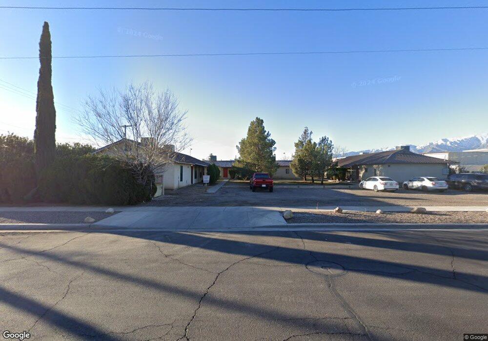
101 W 7th St Safford, AZ 85546
Estimated Value: $283,000 - $702,000
--
Bed
--
Bath
5,742
Sq Ft
$87/Sq Ft
Est. Value
About This Home
This home is located at 101 W 7th St, Safford, AZ 85546 and is currently estimated at $498,424, approximately $86 per square foot. 101 W 7th St is a home located in Graham County with nearby schools including Ruth Powell Elementary School, Dorothy Stinson School, and Lafe Nelson School.
Ownership History
Date
Name
Owned For
Owner Type
Purchase Details
Closed on
Jun 21, 2019
Sold by
Rhoads John E and Rhoads Judith A
Bought by
Afford Property Corporation
Current Estimated Value
Home Financials for this Owner
Home Financials are based on the most recent Mortgage that was taken out on this home.
Original Mortgage
$294,000
Outstanding Balance
$256,532
Interest Rate
3.73%
Mortgage Type
Commercial
Estimated Equity
$241,892
Purchase Details
Closed on
Dec 29, 2008
Sold by
Rhoads Rhoads & Chausow Llc
Bought by
Rhoads John E and Rhoads Judith A
Create a Home Valuation Report for This Property
The Home Valuation Report is an in-depth analysis detailing your home's value as well as a comparison with similar homes in the area
Home Values in the Area
Average Home Value in this Area
Purchase History
| Date | Buyer | Sale Price | Title Company |
|---|---|---|---|
| Afford Property Corporation | $420,000 | Stewart Title & Tr Safford | |
| Rhoads John E | -- | Pioneer Title Agency Inc |
Source: Public Records
Mortgage History
| Date | Status | Borrower | Loan Amount |
|---|---|---|---|
| Open | Afford Property Corporation | $294,000 |
Source: Public Records
Tax History Compared to Growth
Tax History
| Year | Tax Paid | Tax Assessment Tax Assessment Total Assessment is a certain percentage of the fair market value that is determined by local assessors to be the total taxable value of land and additions on the property. | Land | Improvement |
|---|---|---|---|---|
| 2026 | $3,078 | -- | -- | -- |
| 2025 | $3,078 | $45,859 | $3,305 | $42,554 |
| 2024 | $3,230 | $46,883 | $3,305 | $43,578 |
| 2023 | $3,230 | $38,359 | $3,305 | $35,054 |
| 2022 | $3,173 | $33,364 | $3,305 | $30,059 |
| 2021 | $3,405 | $0 | $0 | $0 |
| 2020 | $3,288 | $0 | $0 | $0 |
| 2019 | $3,442 | $0 | $0 | $0 |
| 2018 | $3,294 | $0 | $0 | $0 |
| 2017 | $3,063 | $0 | $0 | $0 |
| 2016 | $2,843 | $0 | $0 | $0 |
| 2015 | $2,229 | $0 | $0 | $0 |
Source: Public Records
Map
Nearby Homes
- 115 E 2nd St
- 1105 S 1st Ave
- 1204 S 1st Ave
- 216 S 6th Ave
- 1209 S 6th Ave
- 120 Relation St Unit 2
- 1217 S 7th Ave
- 1302 S 7th Ave
- 1108 S 9th Ave
- 115 W 15th St
- 514 W 15th St
- 1108 S 9th Place
- 220 W 16th St
- 1309 S Bingham Place
- 1115 W Relation St
- 1471 W Stone Willow Way
- 1491 W Thatcher Blvd Unit 107
- 1098 S Coventry Dr
- 222 E 20th St
- 1210 S Coventry Dr