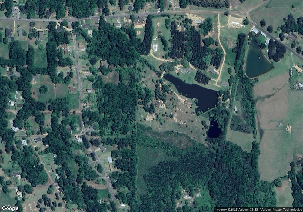
1010 Robb St Ext Ea St Summit, MS 39666
Estimated Value: $101,842 - $252,000
2
Beds
1
Bath
1,200
Sq Ft
$163/Sq Ft
Est. Value
About This Home
This home is located at 1010 Robb St Ext Ea St, Summit, MS 39666 and is currently estimated at $195,947, approximately $163 per square foot. 1010 Robb St Ext Ea St is a home located in Pike County with nearby schools including Higgins Middle School, Otken Elementary School, and Denman Junior High School.
Ownership History
Date
Name
Owned For
Owner Type
Purchase Details
Closed on
May 10, 2025
Sold by
Dowdy Charles W
Bought by
Three Blind Mice Llc
Current Estimated Value
Purchase Details
Closed on
Oct 23, 2020
Sold by
Greer David L
Bought by
Dillon Angela R and Robinson Mark A
Home Financials for this Owner
Home Financials are based on the most recent Mortgage that was taken out on this home.
Original Mortgage
$104,061
Interest Rate
2.9%
Mortgage Type
Commercial
Purchase Details
Closed on
Jul 15, 2020
Sold by
Greer David L
Bought by
Hilburn Eddie L and Hilburn Martha Ann
Purchase Details
Closed on
Oct 6, 2017
Sold by
Greer David L and Greer Diane H
Bought by
Hall Jennifer Greer
Home Financials for this Owner
Home Financials are based on the most recent Mortgage that was taken out on this home.
Original Mortgage
$155,200
Interest Rate
3.86%
Mortgage Type
New Conventional
Create a Home Valuation Report for This Property
The Home Valuation Report is an in-depth analysis detailing your home's value as well as a comparison with similar homes in the area
Home Values in the Area
Average Home Value in this Area
Purchase History
| Date | Buyer | Sale Price | Title Company |
|---|---|---|---|
| Three Blind Mice Llc | -- | Elite Title Solutions Llc | |
| Dillon Angela R | -- | None Available | |
| Hilburn Eddie L | -- | None Available | |
| Hall Jennifer Greer | -- | None Available |
Source: Public Records
Mortgage History
| Date | Status | Borrower | Loan Amount |
|---|---|---|---|
| Previous Owner | Dillon Angela R | $104,061 | |
| Previous Owner | Hall Jennifer Greer | $155,200 |
Source: Public Records
Map
Nearby Homes
- 1500 Robb St
- 0 Plum St
- 1306 Thomas St
- 311 Walnut St
- TBD Hershal Grady H Way
- 705 Chestnut St
- 109 Grove Place
- 1053 Johnston Station Rd
- 608 Peters St
- 608 Baldwin St
- TBD Pointe Dr
- 108 Pointe Dr
- 0 Summit Holmesville Rd
- 0 Franklin St
- 6042 Enterprise Rd
- 200 Robb St
- 1086 Mississippi 570
- XXX Brewer Ln
- 111 Cedar Ridge Rd
- 1024 Sabrina Dr
- 1050 Diane Cir E
- 1055 Diane Cir
- 1014 Diane Cir
- 1044 Robb Street Extension E
- 1044 Robb St
- 1112 Robb St
- 1127 Robb St
- 1172 Robb St
- 2197 Robb St
- 1024 Diane Cir
- 1052 Robb St Unit Exd
- 1052 Robb St Ext Ea St
- 1053 Robb Street Extension E
- 1020 Robb St Extension E
- 1806 Robb St
- 1018 Robb St
- 1801 Robb St
- 1052 Robb Street Extension E
- 1052 Robb Street Extension E
- 1010 Robb St
Your Personal Tour Guide
Ask me questions while you tour the home.
