1012 E Maddock Rd Phoenix, AZ 85086
Estimated Value: $723,355 - $831,000
Studio
3
Baths
2,347
Sq Ft
$337/Sq Ft
Est. Value
About This Home
This home is located at 1012 E Maddock Rd, Phoenix, AZ 85086 and is currently estimated at $791,089, approximately $337 per square foot. 1012 E Maddock Rd is a home located in Maricopa County with nearby schools including Desert Mountain Middle School, Boulder Creek High School, and Stepping Stones Academy.
Ownership History
Date
Name
Owned For
Owner Type
Purchase Details
Closed on
Jul 26, 2002
Sold by
Assad Michael J
Bought by
Assad Corinne N
Current Estimated Value
Purchase Details
Closed on
Apr 2, 2002
Sold by
Assad Michael John
Bought by
Assad Corinne Nannette
Purchase Details
Closed on
Oct 21, 1997
Sold by
Nutter Forrest F and Nutter Diane M
Bought by
Assad Michael John and Assad Corinne Nannette
Purchase Details
Closed on
Feb 3, 1995
Sold by
Davis May Pascoe
Bought by
Nutter Forrest F and Nutter Diane M
Home Financials for this Owner
Home Financials are based on the most recent Mortgage that was taken out on this home.
Original Mortgage
$15,000
Interest Rate
9.21%
Mortgage Type
Seller Take Back
Create a Home Valuation Report for This Property
The Home Valuation Report is an in-depth analysis detailing your home's value as well as a comparison with similar homes in the area
Home Values in the Area
Average Home Value in this Area
Purchase History
| Date | Buyer | Sale Price | Title Company |
|---|---|---|---|
| Assad Corinne N | -- | -- | |
| Assad Corinne Nannette | -- | -- | |
| Assad Michael John | $31,000 | -- | |
| Nutter Forrest F | $30,000 | Lawyers Title |
Source: Public Records
Mortgage History
| Date | Status | Borrower | Loan Amount |
|---|---|---|---|
| Previous Owner | Nutter Forrest F | $15,000 |
Source: Public Records
Tax History
| Year | Tax Paid | Tax Assessment Tax Assessment Total Assessment is a certain percentage of the fair market value that is determined by local assessors to be the total taxable value of land and additions on the property. | Land | Improvement |
|---|---|---|---|---|
| 2025 | $3,801 | $36,499 | -- | -- |
| 2024 | $3,540 | $34,761 | -- | -- |
| 2023 | $3,540 | $48,160 | $9,630 | $38,530 |
| 2022 | $3,403 | $36,330 | $7,260 | $29,070 |
| 2021 | $3,513 | $35,730 | $7,140 | $28,590 |
| 2020 | $3,932 | $34,950 | $6,990 | $27,960 |
| 2019 | $3,811 | $31,930 | $6,380 | $25,550 |
| 2018 | $4,158 | $31,070 | $6,210 | $24,860 |
| 2017 | $3,145 | $28,980 | $5,790 | $23,190 |
| 2016 | $2,833 | $28,850 | $5,770 | $23,080 |
Source: Public Records
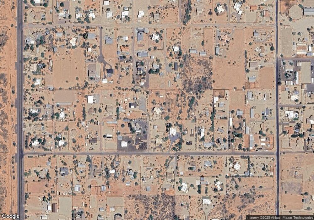
Map
Nearby Homes
- 907 E Carlise Rd
- 1053 E Maddock Rd
- 1032 E Carlise Rd
- 1114 E Carlise Rd
- 914 E Carlise Rd
- 1302 E Maddock Rd
- 1127 E Joy Ranch Rd
- 37809 N 9th Place
- 37221 N 12th St
- 1687 E Creek Canyon Rd
- 1904 E Creek Canyon Rd
- 1686 E Creek Canyon Rd
- 1850 E Creek Canyon Rd
- 1920 E Creek Canyon Rd
- 1940 E Creek Canyon Rd
- 4860 E Creek Canyon Rd
- 711 E Cloud Rd
- 402 E Blue Eagle Ln
- 37313 N 16th St
- 125 E Blue Eagle Ln
- 1002 E Maddock Rd
- 1006 E Maddock Rd
- 924 E Maddock Rd
- 1024 E Maddock Rd
- 919 E Carlise Rd
- 1038 E Maddock Rd
- 1021 E Carlise Rd
- 922 E Maddock Rd
- 836 E Maddock Rd
- 1030 E Maddock Rd
- 1036 E Maddock Rd
- 913 E Carlise Rd
- 830 E Maddock Rd
- 399XX N 10th St
- 843 E Carlise Rd Unit 4
- 1027 E Carlise Rd
- 1048 E Maddock Rd
- 1003 E Maddock Rd
- 1108 E Maddock Rd
- 832 E Maddock Rd
Your Personal Tour Guide
Ask me questions while you tour the home.