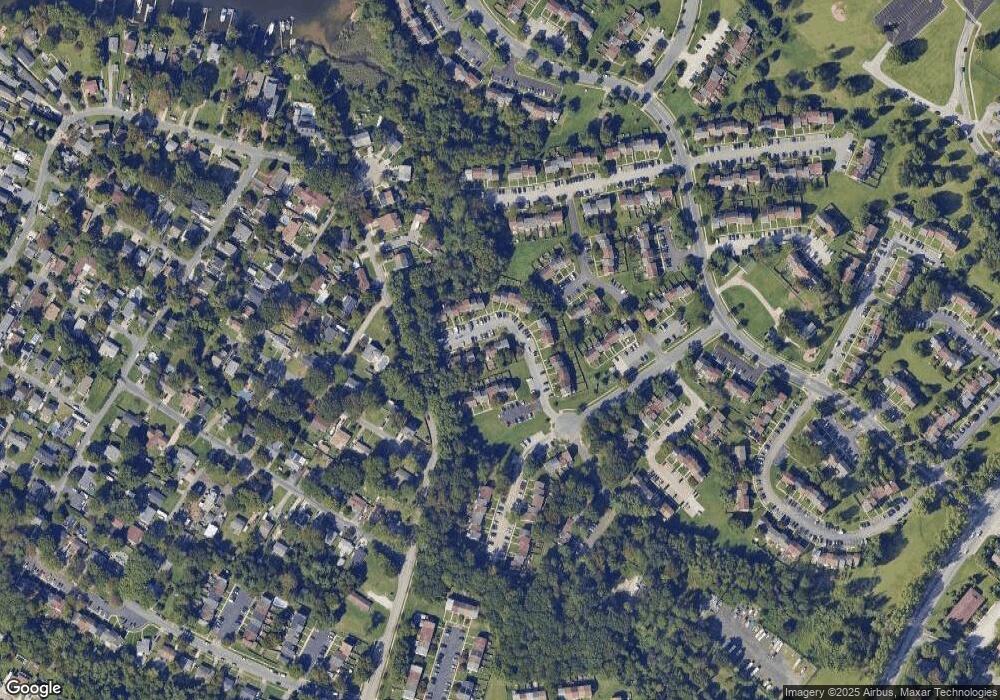
1013 Cape Splitt Harbour Pasadena, MD 21122
Estimated Value: $276,000 - $359,000
Studio
1
Bath
1,120
Sq Ft
$287/Sq Ft
Est. Value
About This Home
This home is located at 1013 Cape Splitt Harbour, Pasadena, MD 21122 and is currently estimated at $321,629, approximately $287 per square foot. 1013 Cape Splitt Harbour is a home located in Anne Arundel County with nearby schools including Sunset Elementary School, Northeast Middle School, and Northeast High School.
Ownership History
Date
Name
Owned For
Owner Type
Purchase Details
Closed on
Mar 4, 2013
Sold by
Harshbarger Rachael and Arnett Rachael M
Bought by
Arnett Rachael M and Arnett Erik
Current Estimated Value
Home Financials for this Owner
Home Financials are based on the most recent Mortgage that was taken out on this home.
Original Mortgage
$135,000
Outstanding Balance
$95,266
Interest Rate
3.54%
Mortgage Type
Stand Alone Second
Estimated Equity
$226,363
Purchase Details
Closed on
Jul 7, 2003
Sold by
Johnston Gordon T
Bought by
Harshbarger Rachael
Purchase Details
Closed on
Jun 2, 2003
Sold by
Patel Sanjay
Bought by
Johnston Gordon T and Freeze Jeffery R
Create a Home Valuation Report for This Property
The Home Valuation Report is an in-depth analysis detailing your home's value as well as a comparison with similar homes in the area
Home Values in the Area
Average Home Value in this Area
Purchase History
| Date | Buyer | Sale Price | Title Company |
|---|---|---|---|
| Arnett Rachael M | -- | Integrity Title & Escrow Co | |
| Harshbarger Rachael | $155,000 | -- | |
| Johnston Gordon T | $123,500 | -- |
Source: Public Records
Mortgage History
| Date | Status | Borrower | Loan Amount |
|---|---|---|---|
| Open | Arnett Rachael M | $135,000 | |
| Closed | Harshbarger Rachael | -- |
Source: Public Records
Tax History Compared to Growth
Tax History
| Year | Tax Paid | Tax Assessment Tax Assessment Total Assessment is a certain percentage of the fair market value that is determined by local assessors to be the total taxable value of land and additions on the property. | Land | Improvement |
|---|---|---|---|---|
| 2025 | $3,086 | $254,033 | -- | -- |
| 2024 | $3,086 | $241,400 | $125,000 | $116,400 |
| 2023 | $3,001 | $236,333 | $0 | $0 |
| 2022 | $2,800 | $231,267 | $0 | $0 |
| 2020 | $2,630 | $218,900 | $0 | $0 |
| 2019 | $2,570 | $211,600 | $0 | $0 |
| 2018 | $2,072 | $204,300 | $95,000 | $109,300 |
| 2017 | $2,276 | $188,767 | $0 | $0 |
| 2016 | -- | $173,233 | $0 | $0 |
| 2015 | -- | $157,700 | $0 | $0 |
| 2014 | -- | $157,700 | $0 | $0 |
Source: Public Records
Map
Nearby Homes
- 1186 Annis Squam Harbour
- 7662 Sherlock Ct
- 7580 Beach Dr
- 1174 Booth Bay Harbour
- 1197 Hillside Rd
- 7588 Beach Dr
- 1091 Notley Ct
- 1201 Rock Hill Rd
- 889 New London Harbour
- 1216 Farmview Rd
- 7730 Notley Rd
- 131 Jackpine Dr
- 8566 Kim Marie Ct
- 7655 Turnbrook Dr
- 1255 Castine Ct
- 8413 Bedford Rd
- 7619 Turnbrook Dr
- 7616 Turnbrook Dr
- 1220 Hillcreek Rd
- 7818 Renshaw Rd
- 1011 Cape Splitt Harbour
- 1015 Cape Splitt Harbour
- 1009 Cape Splitt Harbour
- 1007 Cape Splitt Harbour
- 1005 Cape Splitt Harbour
- 8650 Pulpit Harbour
- 8652 Pulpit Harbour
- 8654 Pulpit Harbour
- 1003 Cape Splitt Harbour
- 8656 Pulpit Harbour
- 8658 Pulpit Harbour
- 8660 Pulpit Harbour
- 1030 Cape Splitt Harbour
- 1032 Cape Splitt Harbour
- 1034 Cape Splitt Harbour
- 1028 Cape Splitt Harbour
- 1024 Cape Splitt Harbour
- 1026 Cape Splitt Harbour
- 1012 Cape Splitt Harbour
- 1022 Cape Splitt Harbour
