1013 Mohawk Trail Springfield, TN 37172
Estimated Value: $495,000 - $596,407
Studio
--
Bath
1,912
Sq Ft
$274/Sq Ft
Est. Value
About This Home
This home is located at 1013 Mohawk Trail, Springfield, TN 37172 and is currently estimated at $523,602, approximately $273 per square foot. 1013 Mohawk Trail is a home with nearby schools including Westside Elementary School, Cheatham Park Elementary School, and Coopertown Middle School.
Ownership History
Date
Name
Owned For
Owner Type
Purchase Details
Closed on
Jul 16, 2024
Sold by
Armantrout Christopher
Bought by
Armantrout Christopher and Armantrout Cherlee Talitha
Current Estimated Value
Purchase Details
Closed on
Apr 11, 2017
Sold by
Black Brenda Gale
Bought by
Armantrout Christopher
Purchase Details
Closed on
Jul 2, 1999
Sold by
Black Jerry L
Bought by
Gale Black Brenda
Purchase Details
Closed on
Dec 16, 1989
Bought by
Black Jerry L
Create a Home Valuation Report for This Property
The Home Valuation Report is an in-depth analysis detailing your home's value as well as a comparison with similar homes in the area
Home Values in the Area
Average Home Value in this Area
Purchase History
| Date | Buyer | Sale Price | Title Company |
|---|---|---|---|
| Armantrout Christopher | -- | Magnolia Title | |
| Armantrout Christopher | $60,000 | None Available | |
| Gale Black Brenda | $30,000 | -- | |
| Black Jerry L | $5,600 | -- |
Source: Public Records
Tax History
| Year | Tax Paid | Tax Assessment Tax Assessment Total Assessment is a certain percentage of the fair market value that is determined by local assessors to be the total taxable value of land and additions on the property. | Land | Improvement |
|---|---|---|---|---|
| 2025 | $2,575 | $143,075 | $59,600 | $83,475 |
| 2024 | $2,575 | $143,075 | $59,600 | $83,475 |
| 2023 | $2,575 | $143,075 | $59,600 | $83,475 |
| 2022 | $2,191 | $85,075 | $22,700 | $62,375 |
| 2021 | $2,191 | $85,075 | $22,700 | $62,375 |
| 2020 | $2,191 | $85,075 | $22,700 | $62,375 |
| 2019 | $2,191 | $85,075 | $22,700 | $62,375 |
| 2018 | $1,341 | $85,075 | $22,700 | $62,375 |
| 2017 | $487 | $15,800 | $15,800 | $0 |
| 2016 | $487 | $15,800 | $15,800 | $0 |
| 2015 | $468 | $15,800 | $15,800 | $0 |
| 2014 | $468 | $15,800 | $15,800 | $0 |
Source: Public Records
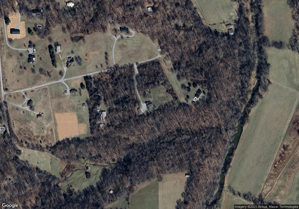
Map
Nearby Homes
- 0 Forest Park Rd Unit RTC3002406
- 0 Forest Park Rd Unit RTC3002403
- 0 Forest Park Rd Unit RTC3002408
- 2060 Beverly Ct
- 2086 Beverly Ct
- 1137 Goose Dr
- 8049 New Chapel Rd
- 1421 Lawrence Ln
- 5148 Highway 49 W
- 7373 New Chapel Rd
- 2007 Tammy Dr Unit 65
- 2003 Tammy Dr
- 3294 Burr Rd
- 0 Burr Rd Unit RTC3136514
- 244 Green Hills Dr
- 4286 Highway 49 W
- 155 Julia Ann Ct
- 0 Flewellyn Rd Unit 1 & 2
- 126 Julia Ann Ct
- 4319 Nicks Dr
- 1009 New Chapel Rd
- 1015 Mohawk Trail
- 1018 Mohawk Trail
- 1005 Mohawk Trail
- 1012 Mohawk Trail
- 1006 Mohawk Trail
- 3001 Tuscarora Trail
- 6762 New Chapel Rd
- 6762 New Chapel Rd
- 6762 New Chapel Rd
- 6982 New Chapel Rd
- 3819 New Chapel Rd
- 3797 New Chapel Rd
- 0 Forest Park Rd Unit RTC2914479
- 0 Forest Park Rd Unit RTC2380304
- 3805 New Chapel Rd
- 3765 New Chapel Rd
- 2900 Tuscarora Trail
- 2400 Tuscarora Trail
- 4940 Highway 49 W
Your Personal Tour Guide
Ask me questions while you tour the home.