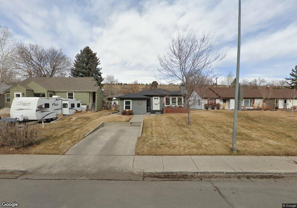
1013 Poly Dr Billings, MT 59102
Hilands NeighborhoodEstimated Value: $349,000 - $375,000
2
Beds
3
Baths
2,176
Sq Ft
$166/Sq Ft
Est. Value
About This Home
This home is located at 1013 Poly Dr, Billings, MT 59102 and is currently estimated at $360,325, approximately $165 per square foot. 1013 Poly Dr is a home located in Yellowstone County with nearby schools including Highland Elementary School, Lewis & Clark Junior High School, and Billings Senior High School.
Ownership History
Date
Name
Owned For
Owner Type
Purchase Details
Closed on
Sep 26, 2025
Sold by
Wilkins Steven R and Schwartz Debra K
Bought by
Gross Ayden and Gross Brian
Current Estimated Value
Home Financials for this Owner
Home Financials are based on the most recent Mortgage that was taken out on this home.
Original Mortgage
$340,000
Outstanding Balance
$340,000
Interest Rate
6.58%
Mortgage Type
New Conventional
Estimated Equity
$20,325
Purchase Details
Closed on
Mar 18, 2019
Sold by
Wilkins Steven R
Bought by
Wilkins Steve R and Schwartz Debra K
Purchase Details
Closed on
Dec 28, 2006
Sold by
Hales Deborah J and Laura Westman Trust
Bought by
Skjeret Cheryl Ann
Home Financials for this Owner
Home Financials are based on the most recent Mortgage that was taken out on this home.
Original Mortgage
$100,000
Interest Rate
6.22%
Mortgage Type
New Conventional
Create a Home Valuation Report for This Property
The Home Valuation Report is an in-depth analysis detailing your home's value as well as a comparison with similar homes in the area
Home Values in the Area
Average Home Value in this Area
Purchase History
| Date | Buyer | Sale Price | Title Company |
|---|---|---|---|
| Gross Ayden | -- | Liberty Title | |
| Wilkins Steve R | -- | -- | |
| Skjeret Cheryl Ann | -- | None Available |
Source: Public Records
Mortgage History
| Date | Status | Borrower | Loan Amount |
|---|---|---|---|
| Open | Gross Ayden | $340,000 | |
| Previous Owner | Skjeret Cheryl Ann | $100,000 |
Source: Public Records
Tax History
| Year | Tax Paid | Tax Assessment Tax Assessment Total Assessment is a certain percentage of the fair market value that is determined by local assessors to be the total taxable value of land and additions on the property. | Land | Improvement |
|---|---|---|---|---|
| 2025 | $2,915 | $339,900 | $50,821 | $289,079 |
| 2024 | $2,915 | $298,800 | $48,410 | $250,390 |
| 2023 | $2,912 | $298,800 | $48,410 | $250,390 |
| 2022 | $2,787 | $251,900 | $0 | $0 |
| 2021 | $2,656 | $251,900 | $0 | $0 |
| 2020 | $2,268 | $201,400 | $0 | $0 |
| 2019 | $2,175 | $201,400 | $0 | $0 |
| 2018 | $2,128 | $193,200 | $0 | $0 |
| 2017 | $2,053 | $193,200 | $0 | $0 |
| 2016 | $1,995 | $191,500 | $0 | $0 |
| 2015 | $1,961 | $191,500 | $0 | $0 |
| 2014 | $1,608 | $82,202 | $0 | $0 |
Source: Public Records
Map
Nearby Homes
- 1028 Princeton Ave
- 1065 O Malley Dr
- 1034 Yale Ave
- 2214 North Place
- 2914 Rimview Dr
- 810 Rimrock Rd
- 2920 Lohof Dr
- 934 Delphinium Dr
- 1310 O Malley Dr
- 2202 13th St W
- 803 Parkhill Dr
- 1124 Parkhill Dr
- 1400 Poly Dr Unit 4D
- 1034 Avenue F
- 41 Heatherwood Ln
- 1313 Granite Ave
- 1323 Granite Ave
- 1329 Granite Ave
- 1322 Avenue F
- 545 Beverly Hill Blvd
Your Personal Tour Guide
Ask me questions while you tour the home.